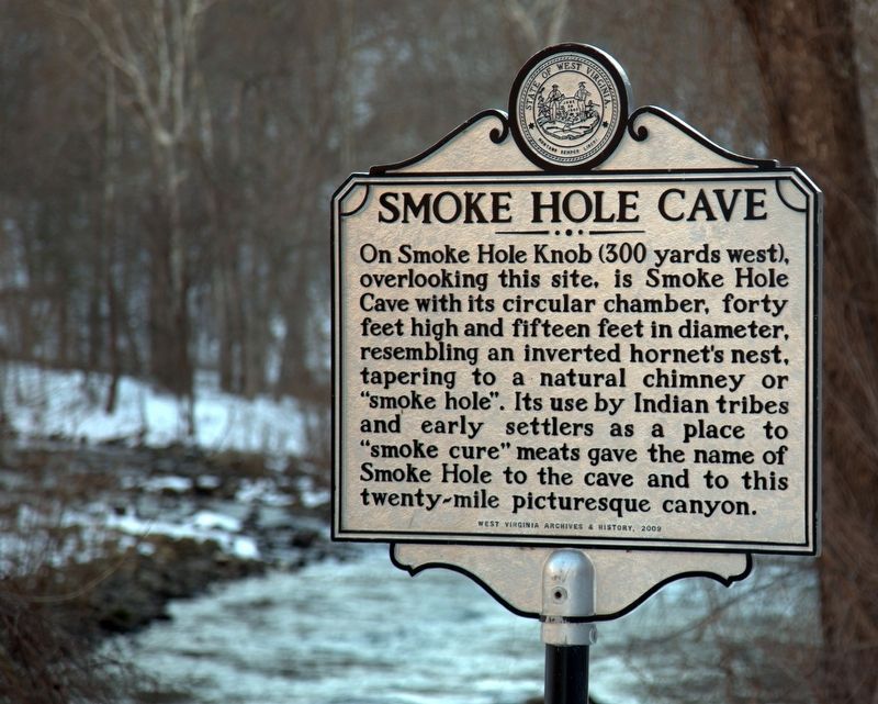
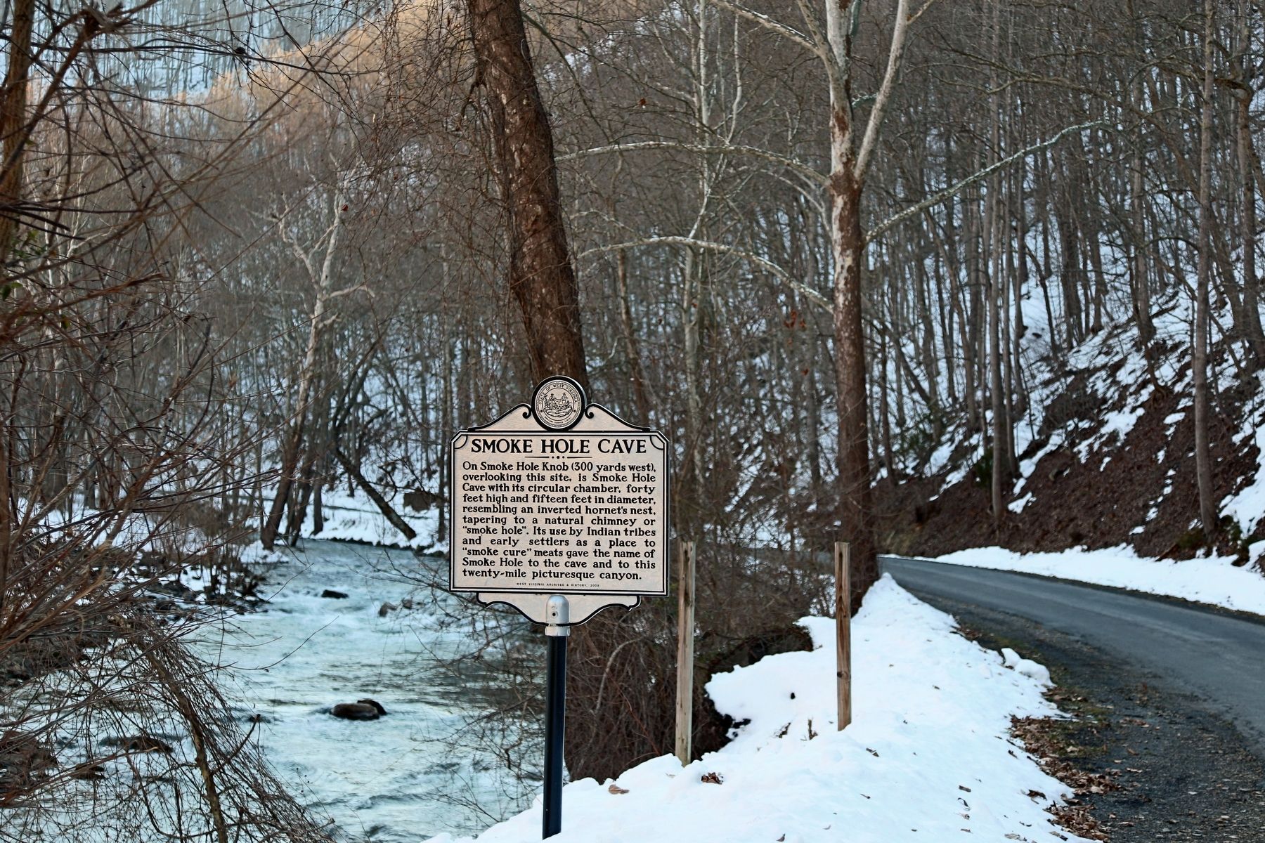
Near Upper Tract in Pendleton County, West Virginia — The American South (Appalachia)
Smoke Hole Cave
Erected 2009 by West Virginia Archives and History.
Topics and series. This historical marker is listed in these topic lists: Native Americans • Natural Features • Settlements & Settlers. In addition, it is included in the West Virginia Archives and History series list.
Location. Marker is missing. It was located near 38° 50.449′ N, 79° 17.467′ W. Marker was near Upper Tract, West Virginia, in Pendleton County. Marker was on Smoke Hole (County Route 2) 3.9 miles north of Petersburg Pike (U.S. 220), on the right when traveling north. Marker is located within Seneca Rocks National Recreation Area. Touch for map. Marker was in this post office area: Upper Tract WV 26866, United States of America. Touch for directions.
Other nearby markers. At least 8 other markers are within 5 miles of this location, measured as the crow flies. Eagle Rocks (approx. 1.2 miles away); St. George’s Church (approx. 1.4 miles away); Smoke Hole (approx. 2.3 miles away); a different marker also named Smoke Hole (approx. 2˝ miles away); Fort Upper Tract (approx. 3.7 miles away); Champe Rocks (approx. 4.2 miles away); Old Judy Church (approx. 4.4 miles away); Sites Homestead (approx. 4.4 miles away). Touch for a list and map of all markers in Upper Tract.
Also see . . . Smoke Hole Caverns Website. “The many rooms and secluded nature of the Caverns were also the ideal place for early settlers and immigrants to make corn whiskey. The clean cold stream that flows through the Caverns was perfect for “moonshine” and it is estimated that perhaps as many as 20 stills operated at one time!! An original still remains on display today complete with it’s story.” (Submitted on November 11, 2016.)
Additional commentary.
1. Removed to preserve cave
I am a member of the Potomac Speleological Club who maintains a field station house nearby. While unconfirmed, we presume that the marker was removed by of the 2017 purchaser of the property, Stephen Callen (now Callen Family Farm Trust) in order to preserve the cave entrance from unauthorized persons entering the cave and disturbing endangered bats and other cave fauna. The marker, unfortunately, was serving as a cave "trailhead" marker for the ravine that leads to the cave.
I will ask a Callen family member about it next time I see them.
— Submitted May 29, 2023, by Paul Donahue of Pittsburgh, Pennsylvania.
Credits. This page was last revised on June 1, 2023. It was originally submitted on November 11, 2016, by J. J. Prats of Powell, Ohio. This page has been viewed 870 times since then and 40 times this year. Photos: 1, 2. submitted on November 11, 2016, by J. J. Prats of Powell, Ohio.
Editor’s want-list for this marker. Photos of the cave • photo of the marker in summer • Can you help?

