Near Calpine in Sierra County, California — The American West (Pacific Coastal)
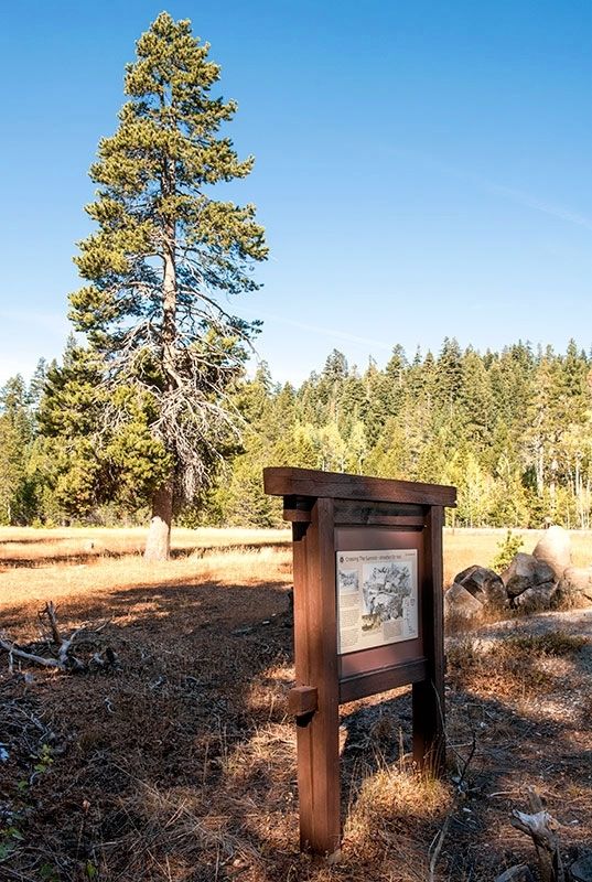
Crossing the Summit - Weather or Not
Photographed by Alvis Hendley, October 7, 2016
1. Crossing the Summit - Weather or Not Marker
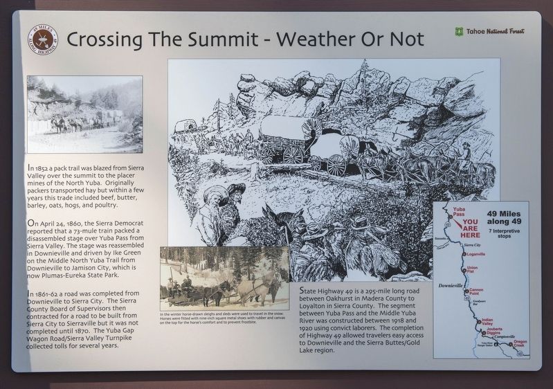
On April 24, 1860, the Sierra Democrat reported that a 73-mule train packed a disassembled stage over Yuba Pass from Sierra Valley. The stage was reassembled in Downieville and driven by Ike Green on the Middle North Yuba Trail from Downieville to Jamison City, which is now Plumas-Eureka State Park.
In 1861-62 a road was completed from Downieville to Sierra City. The Sierra County Board of Supervisors then contracted for a road to be built from Sierra City to Sierraville but it was not completed until 1870. The Yuba Gap Wagon Road/Sierra Valley Turnpike collected tolls for several years.
Erected by Tahoe National Forest, Downieville Chamber of Commerce, Sierra County Historical Society, California Department of Transportation and the Downieville Lions Club.
Topics. This historical marker is listed in these topic lists: Agriculture • Horticulture & Forestry • Roads & Vehicles
this page online
Location. 39° 36.996′ N, 120° 29.404′ W. Marker is near Calpine, California, in Sierra County. It is at the intersection of Yuba Pass Road and California Route 49, on the right when traveling south on Yuba Pass Road. Touch for map. Marker is in this post office area: Calpine CA 96124, United States of America. Touch for directions.

Regionally, this marker is in California’s Sierra Nevada. It is also in the American Mountain West. Globally, it is in North America, on the Ring of Fire, on the Pacific Rim, in the Western Hemisphere, in the Western World, and in the Anglosphere. Historically, it finds itself in what was once New Spain and also Mexico’s Alta California.
Other nearby markers. At least 8 other markers are within 13 miles of this marker, measured as the crow flies: Site of Howard Ranch and Inn (approx. 5.4 miles away); Memorial (approx. 7.6 miles away); Busch & Heringlake Building (approx. 8.4 miles away); Miner’s Hotel (approx. 8.6 miles away); Webber Lake Hotel (approx. 9.7 miles away); Henness – Zumwalt Pass (approx. 9.7 miles
Photographed by Alvis Hendley, October 7, 2016
2. Crossing the Summit - Weather or Not Marker
Other markers no longer nearby. Food for the Mines (was here, next to this marker but has been replaced with another marker now near it); Sierra Valley History (was approx. 2.2 miles away but has been confirmed missing).
Photographed by Alvis Hendley
3. Detail Photograph and Text from the Marker
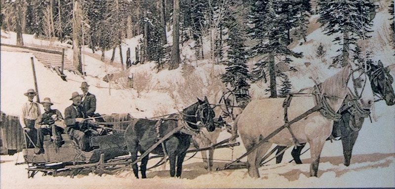
In the winter horse-drawn sleighs and sleds were used to travel in the snow. Horses were fitted with nine-inch square metal shoes with rubber and canvas on the top for the horse's comfort and to prevent frostbite.
Photographed by Alvis Hendley, October 7, 2016
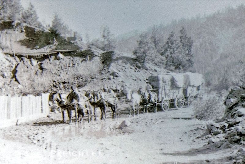
4. Detail Photograph from the Marker
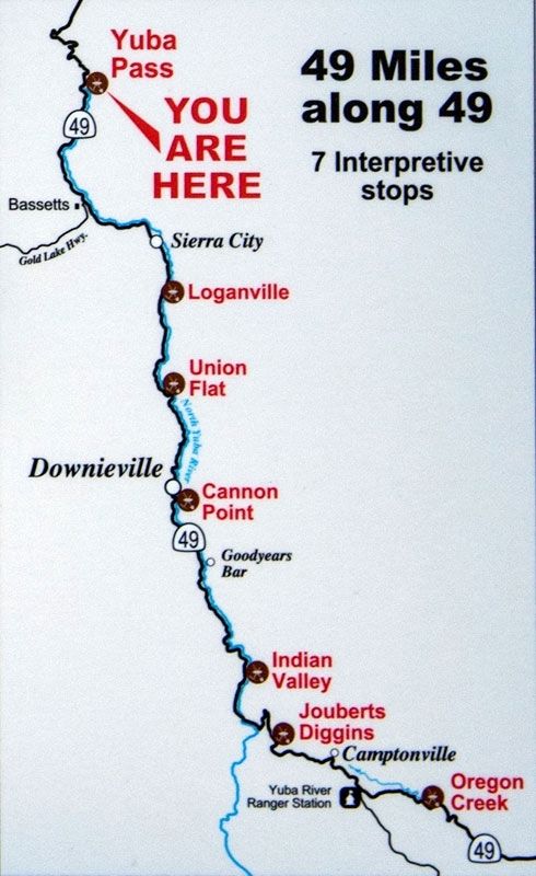
Photographed by Alvis Hendley, October 7, 2016
5. Detail Map and Text from the Marker
State Highway 49 is a 295-mile long road between Oakhurst in Madera County to Loyalton in Sierra County. The segment between Yuba Pass and the Middle Yuba River was constructed between 1918 and 1920 using convict laborers. The completion of Highway 49 allowed travelers easy access to Downieville and the Sierra Buttes/Gold Lake region.
Credits. This page was last revised on November 20, 2016. It was originally submitted on November 14, 2016, by Alvis Hendley of San Francisco, California. This page has been viewed 505 times since then and 33 times this year. Photos: 1, 2, 3, 4, 5. submitted on November 14, 2016, by Alvis Hendley of San Francisco, California. • Syd Whittle was the editor who published this page.
