New Richmond in Clermont County, Ohio — The American Midwest (Great Lakes)
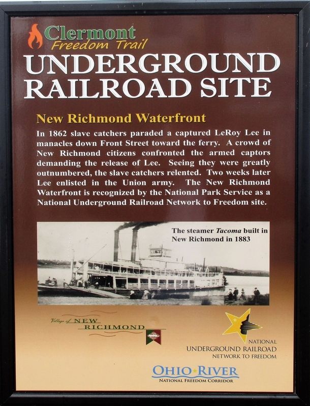
New Richmond Waterfront
Underground Railroad Site
— Clermont Freedom Trail —
Erected by Village of New Richmond National Underground Railroad Network to Freedom Ohio River National Freedom Corridor.
Topics and series. This historical marker is listed in these topic lists: Abolition & Underground RR • African Americans • War, US Civil • Waterways & Vessels. In addition, it is included in the National Underground Railroad Network to Freedom series list. A significant historical year for this entry is 1862.
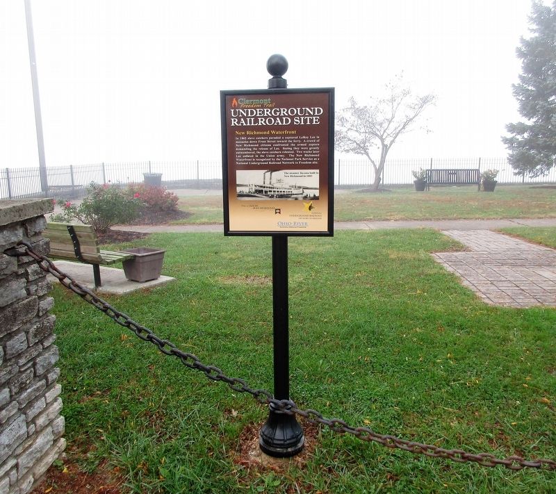
Location. 38° 57.055′ N, 84° 17.025′ W. Marker is in New Richmond, Ohio, in Clermont County. Marker is at the intersection of Front Street and Walnut Street, on the right when traveling east on Front Street. Marker is in village park area on the riverfront. Touch for map. Marker is at or near this postal address: 217 Front St, New Richmond OH 45157, United States of America. Touch for directions.
Other nearby markers. At least 8 other markers are within walking distance of this marker. New Richmond (here, next to this marker); Founding of New Richmond (about 400 feet away, measured in a direct line); Dr. John G. Rogers Home & Office (about 500 feet away); Ross – Gowdy House Museum (approx. 0.2 miles away); New Richmond VFW Veterans Memorial (approx. 0.2 miles away); New Richmond WW I Memorial (approx. 0.2 miles away); The United States Merchant Marine (approx. ¼ mile away); New Richmond Pearl Harbor Memorial (approx. ¼ mile away). Touch for a list and map of all markers in New Richmond.
Additional keywords. Underground Railroad
Credits. This page was last revised on August 28, 2022. It was originally submitted on November 17, 2016, by Rev. Ronald Irick of West Liberty, Ohio. This page has been viewed 489 times since then and 40 times this year. Photos: 1, 2, 3. submitted on November 17, 2016, by Rev. Ronald Irick of West Liberty, Ohio. • Bill Pfingsten was the editor who published this page.


