Edzná in Campeche, Mexico — The Southeast (Yucatan Peninsula)
The Ambassadors' Platform
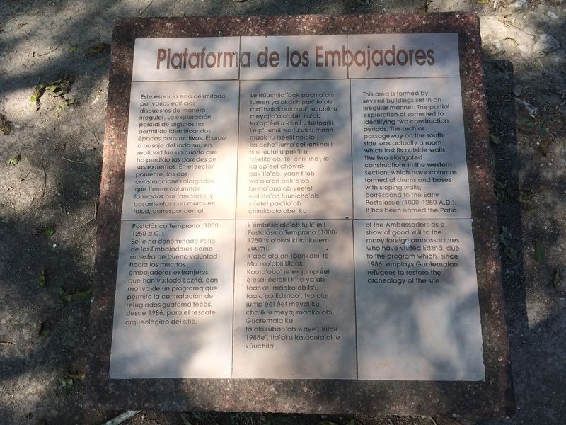
Plataforma de los Embajadores
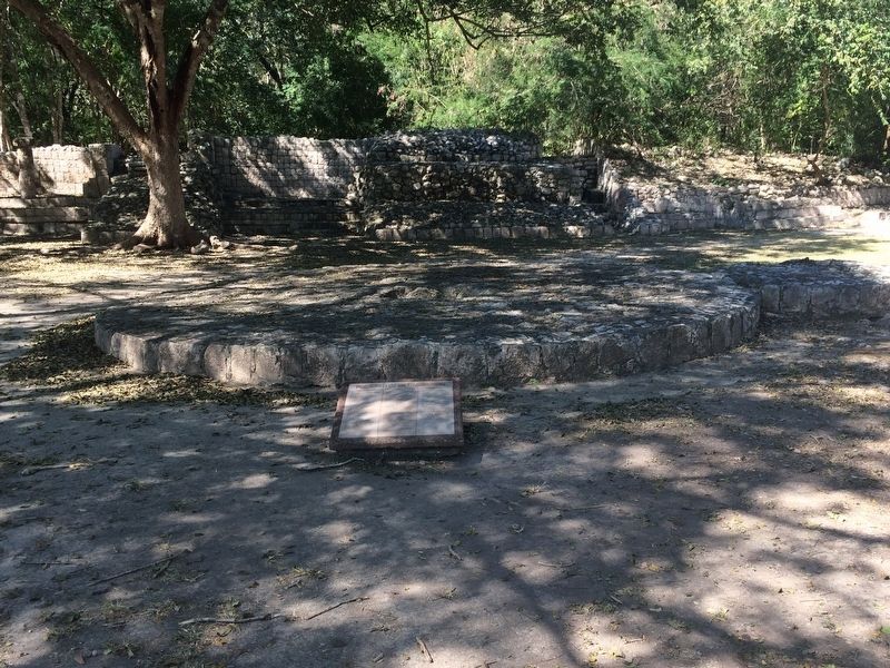
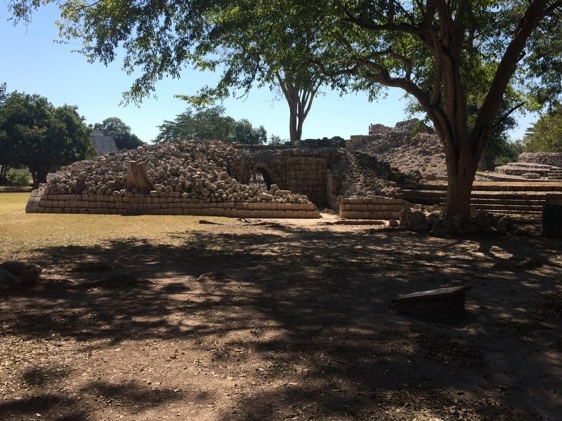
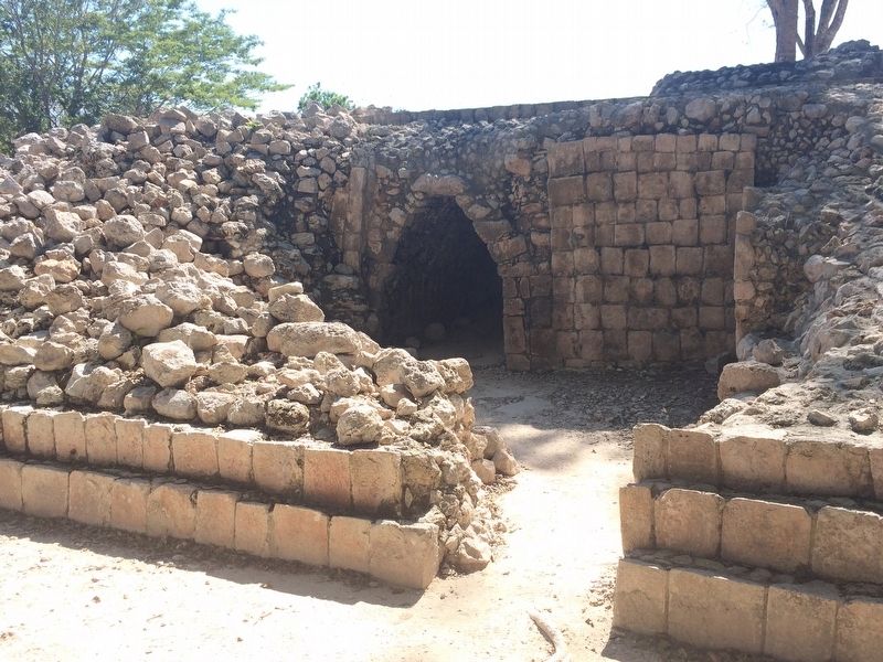
Este espacio está delimitado por varios edificios dispuestos de manera irregular. La exploración parcial de algunos ha permitod identificar dos épocas constructivas. El arco o pasaje del lado sur, en realidad fue un cuarto que ha perdido las paredes de sus extremos. En el sector poniente, las dos construcciones alargadas, que tienen columnas formadas por tambores, y basamentos con muros en talud, corresponden al Postclásico Temprano (1000-1250 d.C.).
Se le ha denominado Patio de los Embajadores como muestra de buena voluntad hacia los muchos embajadores extranjeros que han visitado Edzná, con motivo de un programa que permite la contratación de refugiados guatemaltecos, desde 1986, para el rescate arqueológico del sitio.
Maya-Yucateco:
Le kúuchila’ bak’pachta’an tumen ya’akach pak’ilo’ob ma’ tsolokbalo’obi’: úuchik u meyajta’alo’obe’ ila’ab ka’ap’éel u k’iinil u betpajlil. Le p’uunul wa tu’ux u máan máak tu tséelil nojolo’, ka’ache’ jump’éel ichi najil ts’u júutul u pak’il u tséelilo’ob. Te’ chik’ino’, le ka’ap’éel chowak pak’ilo’ob, yaan ti’ob wa’ala’an pak’o’ob beeta’ano’ob yéetel wolista’an tuunicho’ob, yéetel pak’ilo’ob chinikbalo’obe’ ku k’iimbesa’alo’ob tu k’iinil Postclásico Temprano (1000-1250 ts’o’okol ki’ichikelem yuum).
K’aba’ata’an Táankabil le Máako’obil Uláak’ Kaajo’obo’ je’ex jump’éel e’esaj éetailil ti’ le ya’ab táanxel máako’ob ts’u taalo’ob Edznao’, tyo’olal jump’éel éet meyaj ku cha’ik u meyaj máako’obil Guatemala ku ta’akikubao’ob waye’, kitak 1986e’, tia’al u kaláanta’al le kúuchila’.
English:
This area is formed by several buildings set in an irregular manner. The partial exploration of some led to identifying two construction periods. The arch or passageway on the south side was actually a room which lost its outside walls. The two elongated constructions in the western section, which have columns formed of drums and bases with sloping walls, correspond to the Early Postclassic (1000-1250 A.D.). It has been named the Patio of the Ambassadors as a show of good will to the many foreign ambassadores who have visited Edzná, due to the program which, since 1986, employs Guatemalan refugees to restore the archeology of the site.
Topics. This historical marker is listed in these topic lists: Anthropology & Archaeology • Architecture • Man-Made Features • Native Americans. A significant historical year for this entry is 1986.
Location. 19° 35.904′ N, 90° 13.864′ W. Marker is in Edzná, Campeche. Marker can be reached from Route 188. The marker is near the Ambassadors' Platform at the Edzná Archaeological Site, some 50 kilometers southeast of Campeche.
Touch for map. Marker is in this post office area: Edzná CAMP 24536, Mexico. Touch for directions.
Other nearby markers. At least 8 other markers are within walking distance of this marker. Nohochná (about 90 meters away, measured in a direct line); The Platform of the Knives (about 120 meters away); The Great Acropolis (about 120 meters away); The Ball Game at Edzná (about 210 meters away); The Building of the Five Floors (approx. 0.2 kilometers away); The Maya (approx. 0.3 kilometers away); The Small Acropolis (approx. 0.3 kilometers away); The Temple of the Giant Masks (approx. 0.3 kilometers away). Touch for a list and map of all markers in Edzná.
Additional commentary.
1. History of the Edzná Archaeological Site
An additional three-paneled marker nearby (see additional photos) has the following text:
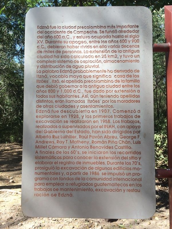
Edzná fue la ciudad precolombina más importante del occidente de Campeche. Se fundó alrededor del ańo 600 a.C., y estuvo ocupada hasta el siglo XV. Durante su apogeo, entre los ańos 600 y 900 d.C., debieron haber vivido en ella varias decenas de miles de personas. La extensión de la antigua ciudad ha sido calculada en 25 km2, y tuvo un complejo sistema de captación, almacenamiento y distribución de agua pluvial. La palabra Edzná probablemente ha derivado de Itzná, vocablo maya que significa
“casa de los Itzáes”. Itzá, el apellido precolombino de la familia que debió gobernar a la antigua ciudad entre los ańos 800 y 1,000 d.C., fue dado por extensión a todos sus habitantes. Así, aún teniendo apellidos distintos, eran llamados “Itzáes” por los moradores de otras ciudades y asentamientos. Edzná fue descubierta en 1907. Comenzó a explorarse en 1928, y los primeros trabajos de excavación se realizaron en 1958. Los trabajos realizados o supervisados por el INAH, con apoyo del Gobierno del Estado, han sido dirigidos por Alberto Ruz Luihilier, Raúl Pavón Abreu, George F. Andrews, Ray T. Matheny, Román Pińa Chán, Luis Millet Cámara y Antonio Benavides Castillo. A finales de los 60's, se iniciaron los recorridos sistemáticos para conocer la extensión del sitio y elaborar el registro de inmuebles. Durante los 70's, prosiguió la excavación de algunos edificios monumentales y, a partir de 1986 se impulsó un programa con fondos de la comunidad internacional para emplear a refugiados guatemaltecos en los trabajos de mantenimiento, excavación y restauración de Edzná.
Maya-Yucateco:
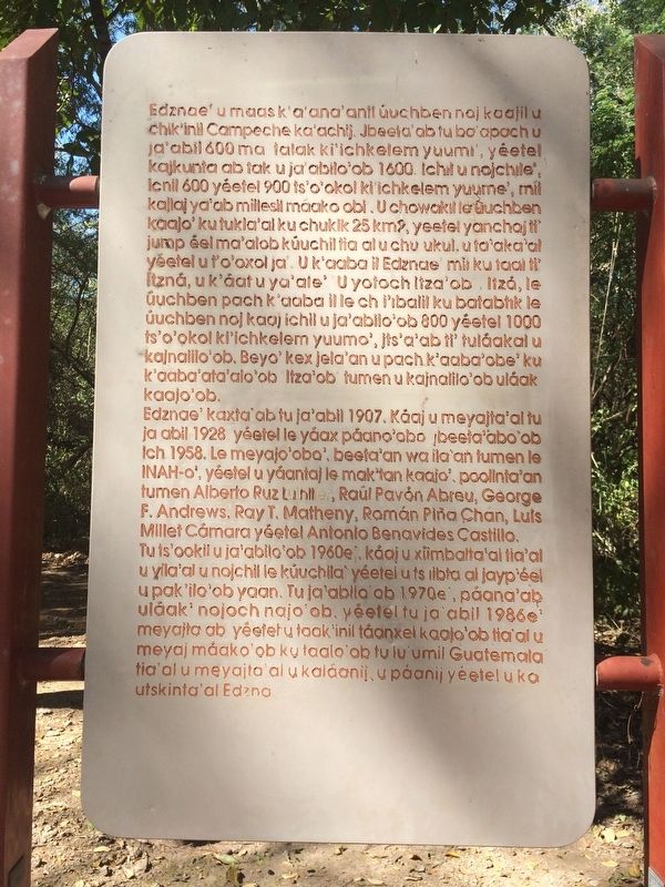
Edznae’ u maas k'a ana'anil úuchben noj kaajil u chik’inil Campeche ka’achij. Jbeeta’ab tu ba’apach u
ja’abil 600 ma talak ki’ichkelem yuumi', yéetel kajkunta ab tak u ja’abilo’ob 1600. Ichil u nojchile’, icnil 600 yéetel 900 ts’o’okol ki’ichkelem yuume’, mil
kajlaj ya’ab miilesil máako obi. U chowakil le úuchben kaajo’ ku tukla’al ku chukik 25 km2, yeetel yanchaj ti’ jump éel ma’alob kúuchil tia al u chu ukul, u ta’aka’al yéetel u t’o’oxol ja’. U k'aaba il Edznae mii ku taal ti’ Itzná, u k'áat u ya’ale'. U yotoch Itza’ob Itzá, le úuchben pach k’aaba il le chi’ibalil ku batabtik le
úuchben noj kaaj ichil u ja’abilo’ob 800 yéetel 1000 ts'o’okol ki’ichkelem yuumo’, jts’a'ab ti’ tuláakal u kajnalilo’ob. Beyo' kex jela'an u pach k'aaba'obe' ku k'aaba'ata'alo'ob Itza’ob tumen u kajnalilo'ob uláak
kaajo’ob.
Edznae’ kaxta’ab tu ja’abil 1907. Káaj u meyajta’al tu
ja abil 1928 yéetel le yáax páano’obo jbeeta’abo'ob ich 1958. Le meyajo’obo', beeta’an wa ila’an tumen le INAH-o', yéelel u yáantaj le mak'tan kaajo', poolinta'an tumen Alberto Ruz Luihllier, Raúl Pavón Abreu, George F. Andrews, Ray T. Matheny, Román Pińa Chán, Luis Millet Cámara yéetel Antonio Benavides Castillo.
Tu ts’ookil u ja’abilo’ob 1960e’, k’aaj u x’iimbalta'al tia'al u yila'al u nojchil le k’uuchila yéetel u ts iibta al jayp’éel u pak’ilo’ob yaan. Tu ja’abilo’ob 1970e’, páana'ab uláak’ nojoch najo’ob, yéetel tu ja’abil 1986e’ meyajta ab yéetel u taak’inil táanxel kaajo'ob tia’al u meyaj máako’ob ku taalo’ob tu lu’umil Guatemala tia’al u meyajta’al u kaláanij u páanij yéetel u ka
utskinta'al Edzna.
English:
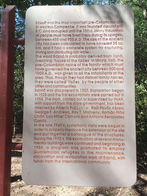
Edzná was the most important pre-Columbian city in western Campeche. It was founded around 600 B.C. and occupied until the 15th c. Many thousands of people must have lived there during its apogee, between 600 and 900 A.D. The size of the ancient city has been calculated to have covered 25 sq. km. and it had a complete system for capturing, storing and distributing rain water.
The word Edzná is probably derived from Itzná, meaning house of the Itzáes in Maya. Itzá, the pre-Columbian name of the family which must have governed the ancient clty between 800 and 1000 A.D., was given to all the inhabitants of the area. Thus, though they had distinct family names, they were called Itzáes by the people of other cities and communities.
Edzná was discovered in 1907. Exploration began in 1928 and the first excavations were carried out in 1958. The work, carried out or supervised by INAH, with support from the state government, has been directed by Alberto Ruz Luihilier, Raúl Pavón Abreu, George F. Andrews, Ray T. Matheny, Ramón Pińa
Chán, Luis Millet Cámara and Antonio Benavides Castillo.
In the late 1960's, systematic visits were begun in order to properly measure the extension of the site and put together a catalogue of the structures. During the 1970's the excavation of several monumental buildings were continued and beginning in 1986, a program was promoted to employ
Guatemalan refugees
in the maintenance, excavation and restauration work at Edzná, with funds from the international community.
— Submitted April 30, 2017, by J. Makali Bruton of Accra, Ghana.
Credits. This page was last revised on April 30, 2017. It was originally submitted on April 30, 2017, by J. Makali Bruton of Accra, Ghana. This page has been viewed 142 times since then and 5 times this year. Photos: 1, 2, 3, 4, 5, 6, 7. submitted on April 30, 2017, by J. Makali Bruton of Accra, Ghana.
