Vicksburg in Warren County, Mississippi — The American South (East South Central)
Glass Mounds
— Mississippi Mound Trail —
Inscription.
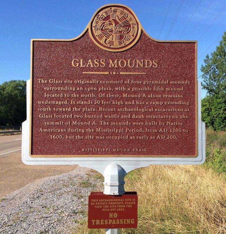
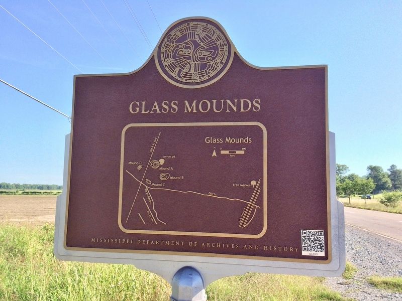
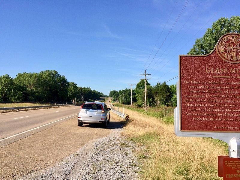
The Glass site originally consisted of four pyramidal mound surrounding an open plaza, with a possible fifth mound located to the north. Of these, Mound A alone remains undamaged. It stands 30 feet high and has a ramp extending south toward the plaza. Recent archaeological excavations at Glass located two burned wattle and daub structures on the summit of Mound A. The mounds were built by Native Americans during the Mississippi Period, from AD 1200 to 1600, but the site was occupied as early as AD 200.
Erected 2016 by Mississippi Department of Archives and History.
Topics and series. This historical marker is listed in these topic lists: Anthropology & Archaeology • Native Americans • Settlements & Settlers. In addition, it is included in the Mississippi Mound Trail series list. A significant historical year for this entry is 1200.
Location. 32° 13.696′ N, 90° 55.648′ W. Marker is in Vicksburg, Mississippi, in Warren County. Marker is on U.S. 61 south of Demby Drive, on the right when traveling south. Across from the Vicksburg Warren Humane Society. Touch for map. Marker is at or near this postal address: 6600 US Highway 61, Vicksburg MS 39180, United States of America. Touch for directions.
Other nearby markers. At least 8 other markers are within 6 miles of this marker, measured as the crow flies. Captain Brady Tonth, Jr. (approx. ¾ mile away); Yokena Presbyterian Church (approx. 3.9 miles away); Camp Williamson (approx. 4.3 miles away); Brierfield and Hurricane (approx. 5.3 miles away); Tobias Gibson (approx. 5.4 miles away); Mississippi (approx. 6 miles away); Vicksburg Siege (approx. 6 miles away); U.S. Battery Benton. (approx. 6.1 miles away). Touch for a list and map of all markers in Vicksburg.
Regarding Glass Mounds. Some notable artifacts were found at Mound C, including a limestone human effigy pipe and a number of pottery vessels and are currently on display at the Old Courthouse Museum in Vicksburg.
Also see . . . Mississippi Mound Trail. Mississippi Historical Markers website entry (Submitted on May 3, 2024, by Larry Gertner of New York, New York.)
Credits. This page was last revised on May 3, 2024. It was originally submitted on May 28, 2017, by Mark Hilton of Montgomery, Alabama. This page has been viewed 1,296 times since then and 200 times this year. Photos: 1, 2, 3, 4, 5. submitted on May 28, 2017, by Mark Hilton of Montgomery, Alabama.
