Teotihuacán de Arista in Teotihuacán, Mexico State, Mexico — The Central Highlands (North America)
The Temple of Agriculture
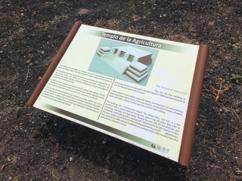
En las exploracinoes de Leopoldo Batres se encontraron dos fragmentos de pintura mural, uno frente de la fachada principal, compuesto de imágenes de semillas, plantas y corrientes de agua, por lo que se le asignó el nombre que actualmente lleva.
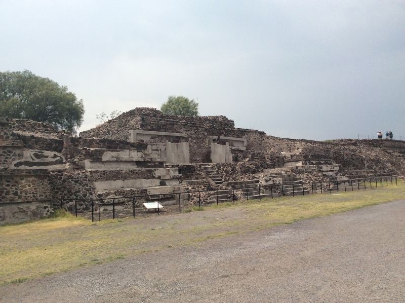
El edificio tiene 3 etapas constructivas, la más antigua data del años 150 dC, consiste en una plataforma baja con escalinata baja central orientada al este, de la cual se puede observa los restos de cinco escalones y la alfarda.
Hacia el año 200 dC la plataforma fue cubierta por un alto edificio con muro inclinado (talud) y su fachada cambia hacia el poniente, finalmente alrededor del año 250 dC el edificio adquiere su apariencia actual, sin embargo continúa sufriendo diversas modificaciones, entre los que sobresale la construcción de un vestíbulo con cuatro columnas al frente.
Pie de dibujo: Reconstrucción virtual – David Cruz
English translation:
In the research conducted by Leopoldo Batres, two fragments of wall paintings were discovered. One in front of the main façade, composed of images of seeds, plants and water streams is what gave the name to the building.
The building has 3 construction stages. The oldest from, 150 A.D., is a low platform with a central stairway facing east, were it can still been seen with its remaining five steps and balustrade. Around the year 200 AD the platform was covered by a tall building with a sloping wall (Talud) and its façade changes to face the west. Finally, around 250 AD, the building acquired its current appearance but continues to suffer various modifications, among which is the construction of a hall with four columns in front.
Caption: Virtual reconstruction – David Cruz
Erected by Consejo Nacional para la Cultura y las Artes de México (CONACULTA)-INAH.
Topics. This historical marker is listed in these topic lists: Anthropology & Archaeology • Architecture • Man-Made Features • Native Americans. A significant historical year for this entry is 150 CE.
Location. 19° 41.8′ N, 98° 50.698′ W. Marker is in Teotihuacán de Arista, Estado de Mexico (Mexico State), in Teotihuacán. Marker can be reached from Route 132 just east of Avenida Pirámides. This marker is along the Calzada de los Muertos at the Teotihuacan Archaeological Site some meters south of the Plaza of the Moon. Touch for map. Marker is in this post office area: Teotihuacán de Arista MEX 55880, Mexico. Touch for directions.
Other nearby markers. At least 8 other markers are within walking distance of this marker. Late Occupation of Teotihuacan and the Mexica Presence (within shouting distance of this marker); The Quetzalpapálotl Architectural Complex (about 90 meters away, measured in a direct line); Miccoatli (about 120 meters away); The Puma Mural (about 120 meters away); Palacio de Quetzalpapalotl (about 120 meters away); The Pyramid of the Moon (approx. 0.3 kilometers away); The History of Teotihuacán (approx. 0.4 kilometers away); The Importance of the Pyramid of the Sun (approx. 0.4 kilometers away). Touch for a list and map of all markers in Teotihuacán de Arista.
Credits. This page was last revised on July 16, 2017. It was originally submitted on July 15, 2017, by J. Makali Bruton of Accra, Ghana. This page has been viewed 179 times since then and 25 times this year. Photos: 1, 2. submitted on July 15, 2017, by J. Makali Bruton of Accra, Ghana.

