Cherokee in Colbert County, Alabama — The American South (East South Central)
Safe Crossing
Natchez Trace Parkway
— National Park Service, U.S. Department of the Interior —
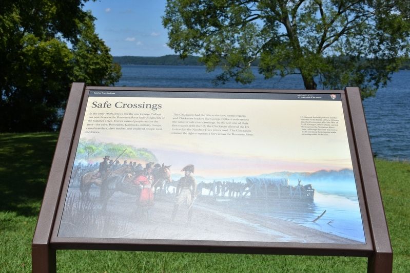
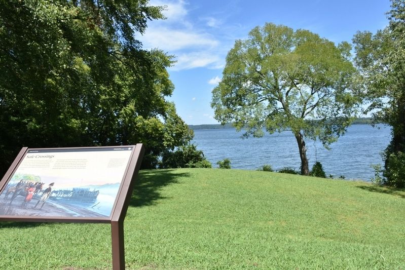
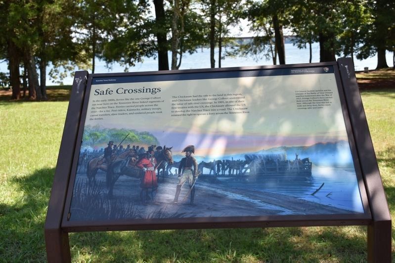
The Chickasaw had the title to the land in this region, and Chickasaw leaders like George Colbert understood the value of safe river crossings. In 1801, in one of their first treaties with the US, the Chickasaw allowed the US to develop the Natchez Trace into a road. The Chickasaw retained the right to operate a ferry across the Tennessee River.
(caption)
US General Andrew Jackson and his veterans of the Battle of New Orleans marched homeward after the War of 1812. George Colbert's ferry carried them across the Tennessee River here. Although the river was not as wide and deep then, ferries made crossing safer and easier.
Erected by National Park Service, U.S. Department of the Interior.
Topics and series. This historical marker is listed in these topic lists: Native Americans • Roads & Vehicles • War of 1812 • Waterways & Vessels. In addition, it is included in the Former U.S. Presidents: #07 Andrew Jackson, and the Natchez Trace series lists. A significant historical year for this entry is 1812.
Location. 34° 50.277′ N, 87° 56.536′ W. Marker is in Cherokee, Alabama, in Colbert County. Marker can be reached from Natchez Trace Parkway (at milepost 327.3), 1.6 miles east of N Pike (County Route 21), on the left when traveling east. Marker is located in Natchez Trace Parkway Colbert Ferry Park. Touch for map. Marker is in this post office area: Cherokee AL 35616, United States of America. Touch for directions.
Other nearby markers. At least 8 other markers are within walking distance of this marker. Colbert Ferry (here, next to this marker); George Colbert Memorial (approx. 0.2 miles away); Colbert's Stand (approx. 0.2 miles away); Welcome! (approx. 0.2 miles away); Wet, Wild, and Wonderful (approx. 0.2 miles away); A Chickasaw Planter (approx. 0.2 miles away); Chickasaw Hospitality (approx. ¼ mile away); Trace Travelers (approx. 0.4 miles away). Touch for a list and map of all markers in Cherokee.
Also see . . . Natchez Trace Parkway. National Park Service (Submitted on August 21, 2017.)
Credits. This page was last revised on August 4, 2020. It was originally submitted on August 20, 2017, by Sandra Hughes Tidwell of Killen, Alabama, USA. This page has been viewed 523 times since then and 61 times this year. Photos: 1, 2, 3. submitted on August 20, 2017, by Sandra Hughes Tidwell of Killen, Alabama, USA. • Bernard Fisher was the editor who published this page.


