Byrd Park Court Historic District in Richmond, Virginia — The American South (Mid-Atlantic)
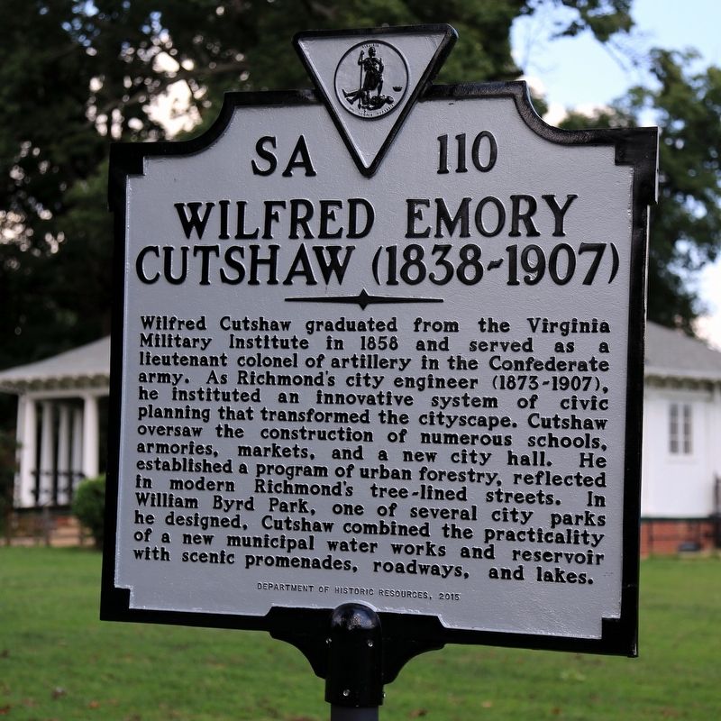
Wilfred Emory Cutshaw
(1838–1907)
Erected 2015 by Department of Historic Resources. (Marker Number SA-110.)
Topics and series. This historical marker is listed in these topic lists: Architecture • Horticulture & Forestry • Man-Made Features. In addition, it is included in the Virginia Department of Historic Resources (DHR) series list. A significant historical year for this entry is 1873.
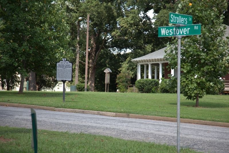
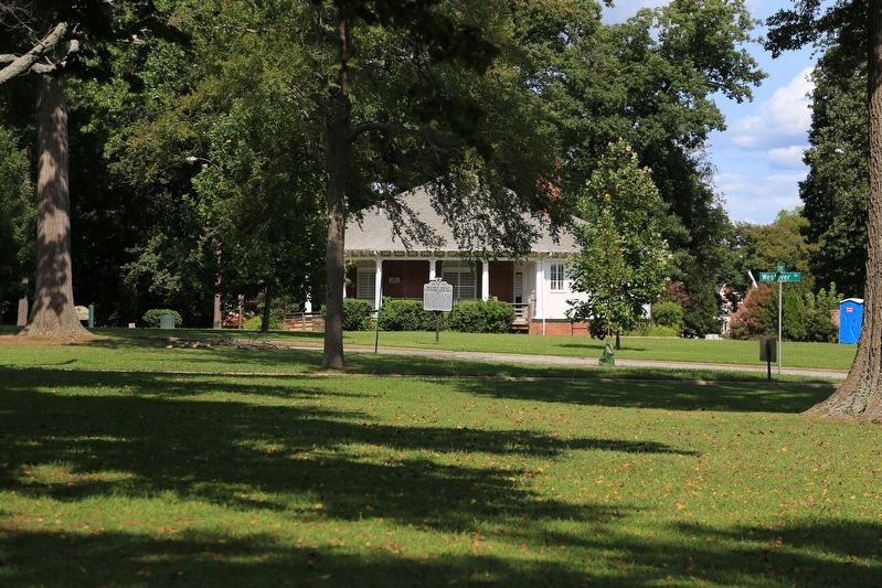
Location. 37° 32.682′ N, 77° 28.556′ W. Marker is in Richmond, Virginia. It is in the Byrd Park Court Historic District. Marker is at the intersection of Westover Road and Strollers Lane, on the right when traveling north on Westover Road. It is in William Byrd Park, near the Round House, between Swan Lake and Fountain Lake. Touch for map. Marker is in this post office area: Richmond VA 23220, United States of America. Touch for directions.
Other nearby markers. At least 8 other markers are within walking distance of this marker. WCTU of Richmond Fountain (within shouting distance of this marker); "For God And Country" (approx. 0.3 miles away); The Carillon (approx. 0.4 miles away); 201 South Boulevard (approx. 0.4 miles away); 115 South Boulevard (approx. 0.4 miles away); Southland (approx. 0.4 miles away); 103 South Boulevard (approx. half a mile away); Alexander (approx. half a mile away). Touch for a list and map of all markers in Richmond.
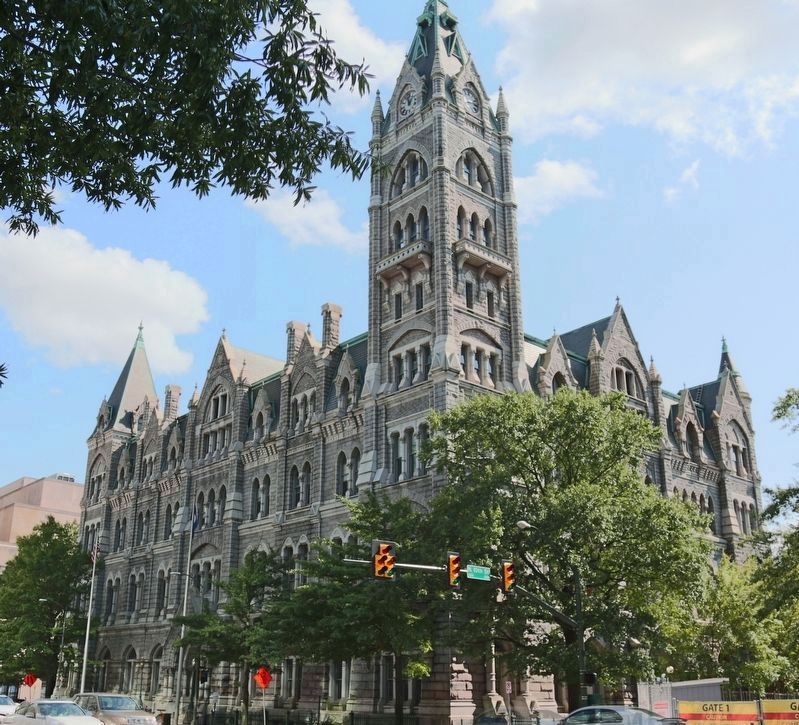
Also see . . . Wikipedia Entry. “Cutshaw oversaw projects of multiple scales; not only was he responsible for the creation of the city’s grid and waterworks system, but significant architectural achievements as well. Among these was the Old City Hall in 1886, an example of high Gothic architecture built from locally quarried granite and constructed by day laborers overseen by Cutshaw. Additionally, the Byrd Park Pump House of 1883 is an example of Cutshaw’s hallmark combination of utility and social life in his projects. Built to pump water from the James River and Kanawha Canal into the Byrd Park Reservoir, Cutshaw integrated an open-air dance floor on the second floor of this stone Gothic building, to which the city’s elite would arrive via boat for social events. Numerous public works including fire stations, markets, schools, and armories were also erected during Cutshaw’s tenure, exhibiting a range of architectural styles.” (Submitted on September 5, 2017.)
Credits. This page was last revised on February 1, 2023. It was originally submitted on September 5, 2017, by J. J. Prats of Powell, Ohio. This page has been viewed 404 times since then and 23 times this year. Photos: 1, 2, 3, 4. submitted on September 5, 2017, by J. J. Prats of Powell, Ohio.
Editor’s want-list for this marker. Photos of other examples of his work • Can you help?


