White Bird in Idaho County, Idaho — The American West (Mountains)
Salmon River
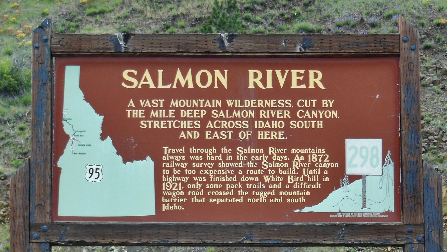
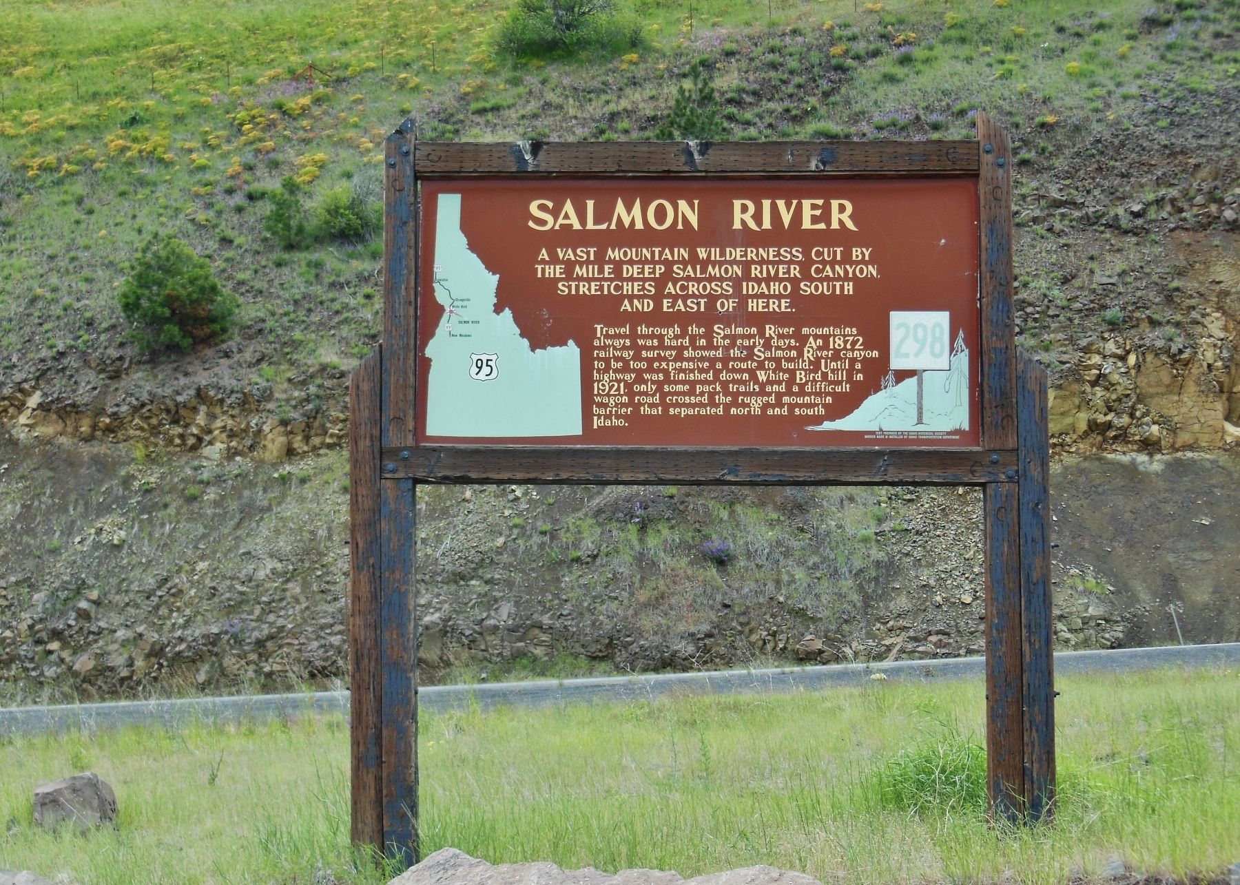
A vast mountain wilderness, cut by the mile deep Salmon River Canyon stretches across Idaho south and east of here.
Travel through the Salmon River Mountains always was hard in the early days. An 1872 railroad survey showed the Salmon River Canyon to be too expensive a route to build. Until a highway was finished down the White Bird Hill in 1921, only some pack trails and a difficult wagon road crossed the rugged mountain barrier that separated north and south Idaho.
Erected by Idaho State Historical Society & Idaho Transportation Department. (Marker Number 298.)
Topics and series. This historical marker is listed in these topic lists: Natural Features • Railroads & Streetcars • Roads & Vehicles • Waterways & Vessels. In addition, it is included in the Idaho State Historical Society series list.
Location. 45° 50.386′ N, 116° 14.219′ W. Marker is in White Bird, Idaho, in Idaho County. Marker is at the intersection of U.S. 95 and Old White Bird Hill Road, on the right when traveling north on U.S. 95. Marker is located within the pull-out and parking area at White Bird Hill Summit. Touch for map. Marker is at or near this postal address: Historical Marker Turnout, Grangeville ID 83530, United States of America. Touch for directions.
Other nearby markers. At least 8 other markers are within 8 miles of this marker, measured as the crow flies. White Bird Grade (about 700 feet away, measured in a direct line); Camas Prairie (approx. 2½ miles away); Nez Perce War (approx. 3.6 miles away); White Bird Battlefield (approx. 3.6 miles away); Truce or War (approx. 4.3 miles away); June 17, 1877 (approx. 4.4 miles away); Gathering at Tipahxlee’whum (Tepahlewam) (approx. 5.2 miles away); The ADVANCE Steam Traction Engine (approx. 8.1 miles away). Touch for a list and map of all markers in White Bird.
More about this marker. A large wooden marker in good condition
Also see . . .
1. Salmon River (Idaho).
The Salmon flows through a vast wilderness in one of the deepest gorges on the continent. Its granite-walled canyon is one-fifth of a mile deeper than the Grand Canyon, and, for approximately 180 miles, the Salmon Canyon is more than one mile deep. (Submitted on November 6, 2017, by Cosmos Mariner of Cape Canaveral, Florida.)
2. Old Whitebird Grade Road.
This road has history behind it, as it’s a National Historic Area as it’s the site of the opening battle of the North Idaho Nez Perce War in the mid-1800s. It’s also the only North-South road to traverse Idaho. There’s no other way through this geologic formation, and even this area is so tough that the original grade road had enough curves to form 37 complete circles if pieced together. (Submitted on November 6, 2017, by Cosmos Mariner of Cape Canaveral, Florida.)
Credits. This page was last revised on August 25, 2020. It was originally submitted on November 6, 2017, by Cosmos Mariner of Cape Canaveral, Florida. This page has been viewed 275 times since then and 11 times this year. Photos: 1, 2. submitted on November 6, 2017, by Cosmos Mariner of Cape Canaveral, Florida. • Bill Pfingsten was the editor who published this page.

