Near Bend in Deschutes County, Oregon — The American West (Northwest)
River Ruler
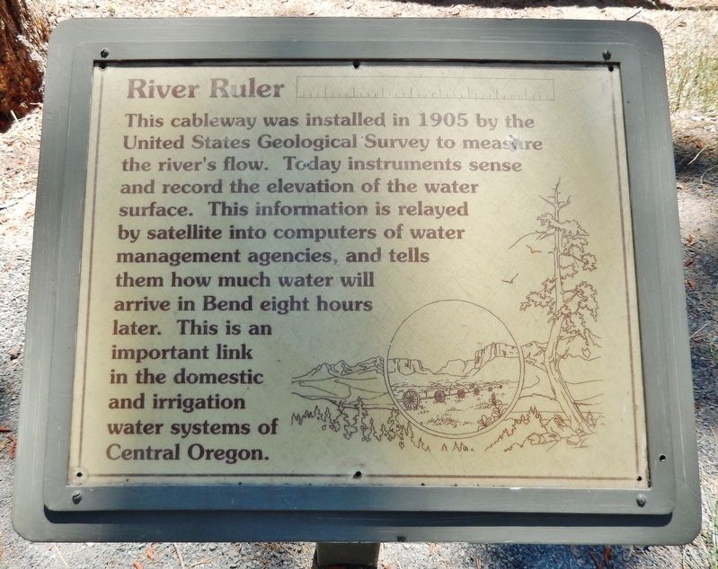
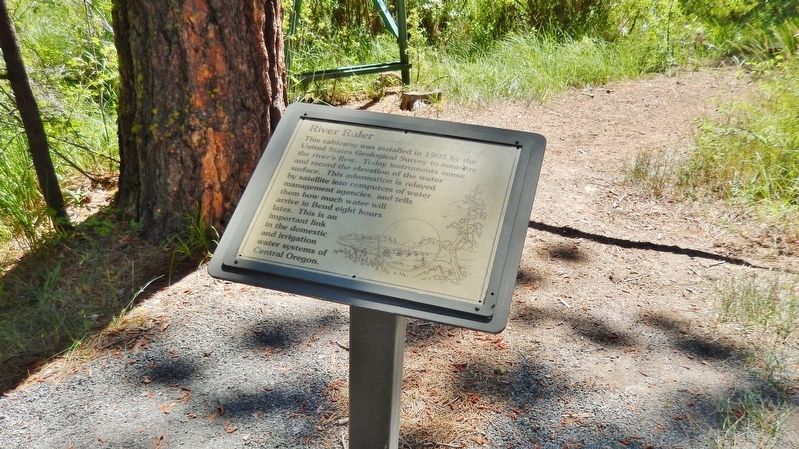
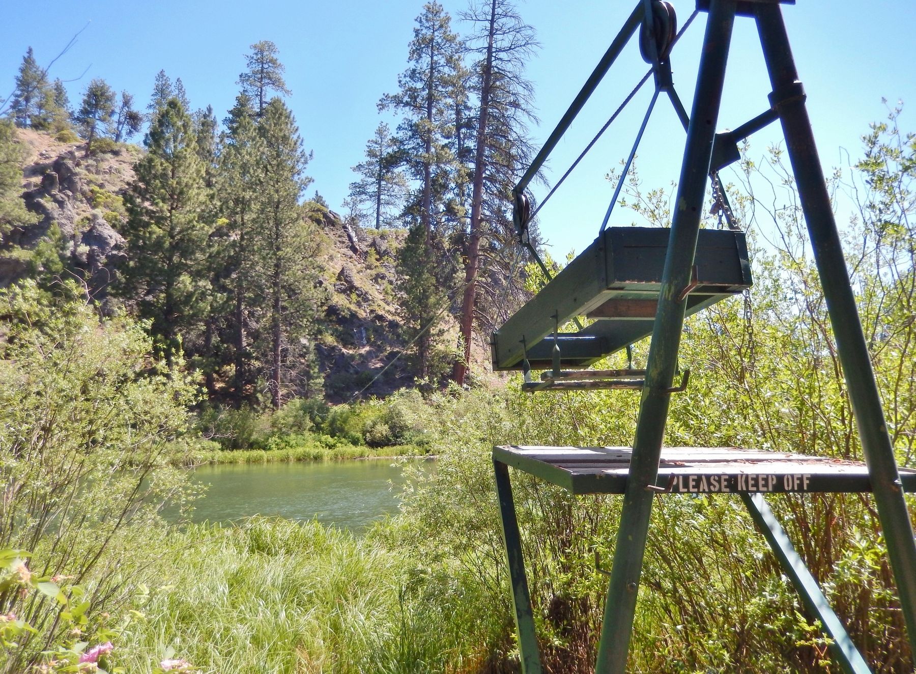
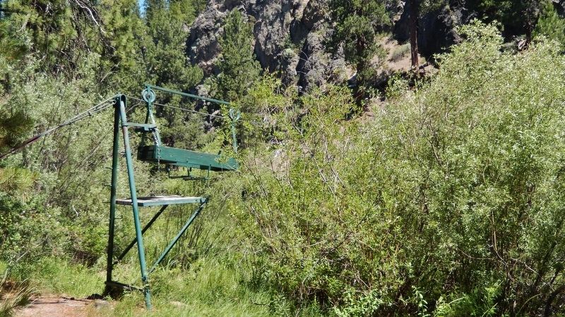
This cableway was installed in 1905 by the United States Geological Survey to measure the river's flow. Today instruments sense and record the elevation of the water surface. This information is relayed by satellite into computers of water management agencies, and tells them how much water, will arrive in Bend eight hours later. This is an important link in the domestic and irrigation water systems of Central Oregon.
Topics. This historical marker is listed in these topic lists: Environment • Science & Medicine • Waterways & Vessels. A significant historical year for this entry is 1905.
Location. 43° 55.847′ N, 121° 24.764′ W. Marker is near Bend, Oregon, in Deschutes County. Marker can be reached from Forest Road 9702, 4 miles west of The Dalles-California Highway (U.S. 97). Marker is located along the Deschutes River Paddle Trail, near the Benham Falls East Trailhead, accessible via Forest Road 9702 from the Lava Lands Visitor Center. Touch for map. Marker is at or near this postal address: 58201 US Highway 97, Bend OR 97702, United States of America. Touch for directions.
Other nearby markers. At least 8 other markers are within 10 miles of this marker, measured as the crow flies. Lava Butte (approx. 2.9 miles away); Some Lava Flows Build Their Own Pipelines (approx. 3.3 miles away); Lava River Cave (approx. 3.3 miles away); Military Might Along The River: Camp Abbot (approx. 4.4 miles away); Journey of the Log to Lumber (approx. 9.2 miles away); Location, Location & Location (approx. 9.2 miles away); Today's Old Mill District (approx. 9.3 miles away); Thank Goodness for Water and Gravity (approx. 9.3 miles away). Touch for a list and map of all markers in Bend.
Credits. This page was last revised on October 14, 2020. It was originally submitted on February 20, 2018, by Cosmos Mariner of Cape Canaveral, Florida. This page has been viewed 251 times since then and 29 times this year. Photos: 1, 2, 3, 4, 5, 6. submitted on February 20, 2018, by Cosmos Mariner of Cape Canaveral, Florida. • Andrew Ruppenstein was the editor who published this page.


