Franklin Township near Cashtown in Adams County, Pennsylvania — The American Northeast (Mid-Atlantic)
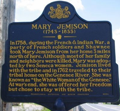
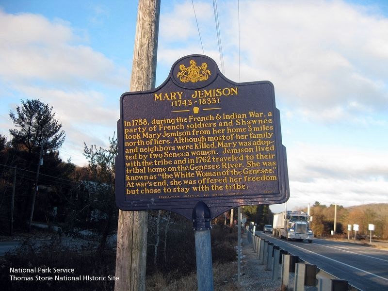
Mary Jemison
(1743-1833)
Erected 1947 by Pennsylvania Historical and Museum Commission.
Topics and series. This historical marker is listed in these topic lists: Native Americans • War, French and Indian • Women. In addition, it is included in the Mary Jemison - White Woman of the Genessee, and the Pennsylvania Historical and Museum Commission series lists. A significant historical year for this entry is 1758.
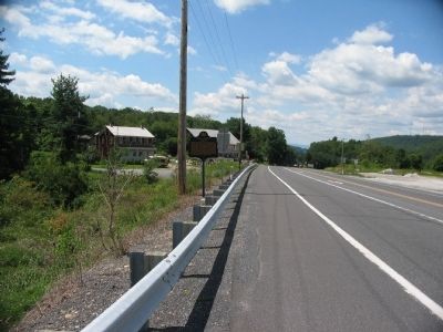
Location. 39° 53.849′ N, 77° 25.561′ W. Marker is near Cashtown, Pennsylvania, in Adams County. It is in Franklin Township. Marker is at the intersection of Lincoln Highway (U.S. 30) and Buchanan Valley Road (State Route 234), on the right when traveling east on Lincoln Highway. Marker is best viewed by first parking onto "Old Highway 30" running parallel to the multi-lane highway. Touch for map. Marker is at or near this postal address: 3308 Old Rte 30, Orrtanna PA 17353, United States of America. Touch for directions.
Other nearby markers. At least 8 other markers are within 3 miles of this marker, measured as the crow flies. A different marker also named Mary Jemison (approx. 2.1 miles away); Basic Ingredients (approx. 2.8 miles away); Making Iron (approx. 2.8 miles away); The Workers Pyramid (approx. 2.8 miles away); Caledonia Furnace (approx. 2.8 miles away); a different marker also named Caledonia Furnace (approx. 2.8 miles away); The Good Roads Jubilee / The Lincoln Highway (approx. 2.8 miles away); Thaddeus Stevens Blacksmith Shop (approx. 2.9 miles away).
Also see . . .
1. Mary Jemison or Dehgewanus. Discussion of the life of Mary Jemison. Living with the Seneca, she took the name Dehgewanus, or "Two Falling Voices." (Submitted on September 20, 2008, by Craig Swain of Leesburg, Virginia.)
2. Mary Jemison - Behind the Marker. ExplorePAHistory.com (Submitted on July 13, 2011, by Mike Wintermantel of Pittsburgh, Pennsylvania.)
3. Mary Jemison at FindAGrave.com. (Submitted on November 28, 2011, by Mike Wintermantel of Pittsburgh, Pennsylvania.)
Credits. This page was last revised on February 24, 2024. It was originally submitted on September 20, 2008, by Craig Swain of Leesburg, Virginia. This page has been viewed 4,250 times since then and 77 times this year. Photos: 1. submitted on September 20, 2008, by Craig Swain of Leesburg, Virginia. 2. submitted on August 6, 2019. 3. submitted on September 20, 2008, by Craig Swain of Leesburg, Virginia.


