Leesburg in Loudoun County, Virginia — The American South (Mid-Atlantic)
Oatlands
Civil War Comes to Oatlands
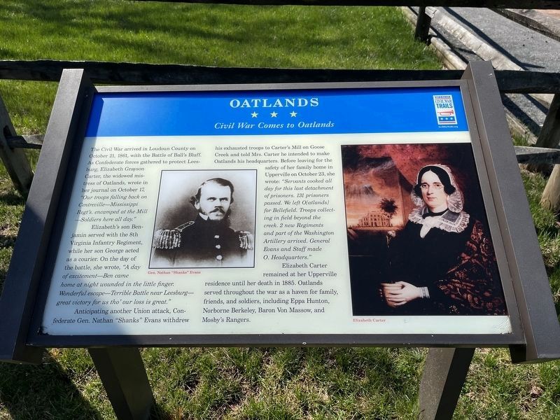
The Civil War arrived in Loudoun County on October 21, 1861, with the Battle of Ball’s Bluff. As Confederate forces gathered to protect Leesburg, Elizabeth Grayson Carter, the widowed mistress of Oatlands, wrote in her journal on October 17, “Our troops falling back on Centerville - Mississippi Regt’s encamped at the Mill – Solders here all day.”
Elizabeth’s son Benjamin served with the 8th Virginia Infantry Regiment, while her son George acted as a courier. On the day of the battle, she wrote, “A day of excitement – Ben came home at night wounded in the little finger. Wonderful escape – Terrible Battle near Leesburg – great victory for us tho’ our loss is great.”
Anticipating another Union attack, Confederate Gen. Nathan “Shanks” Evans withdrew his exhausted troops to Carter’s Mill on Goose Creek and told Mrs. Carter he intended to make Oatlands his headquarters. Before leaving for the safety of her family home in Upperville on October 23, she wrote: “Servants cooked all day for this last detachment of prisoners. 131 prisoners passed. We left O[atlands] for Bellefield. Troops collecting in the field beyond the creek. 2 new Regiments and part of the Washington Artillery arrived. General Evans and Staff made O. Headquaters.”
Elizabeth Carter remained at her Upperville residence until her death in 1885. Oatlands served throughout the war as a haven for family, friends, and soldiers, including Eppa Hunton, Norborne Berkeley, Baron Von Massow, and Mosby's Rangers.
Erected by Virginia Civil War Trails.
Topics and series. This historical marker is listed in these topic lists: War, US Civil • Waterways & Vessels. In addition, it is included in the Virginia Civil War Trails series list. A significant historical date for this entry is October 21, 1861.
Location. 39° 2.527′ N, 77° 37.129′ W. Marker is in Leesburg, Virginia, in Loudoun County. Marker can be reached from Oatlands Plantation Lane. Touch for map. Marker is at or near this postal address: 20850 Oatlands Plantation Lane, Leesburg VA 20175, United States of America. Touch for directions.
Other nearby markers. At least 8 other markers are within walking distance of this marker. Welcome to Oatlands! (here, next to this marker); The Carriage House (a few steps from this marker); The Enslaved at Oatlands (about 300 feet away, measured in a direct line); The Bachelor's Cottage (about 500 feet away); The Greenhouse (about 600 feet away); The Mansion (about 600 feet away); The Enslaved Community (about 600 feet away); Reclaim Your Story (about 700 feet away). Touch for a list and map of all markers in Leesburg.
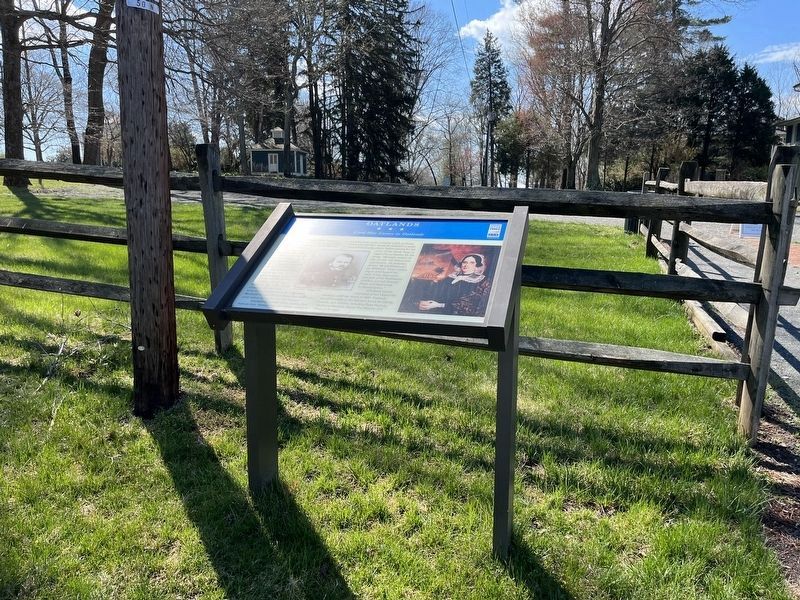
More about this marker. The marker is in the parking lot for Oatlands Historic Home
and Gardens, operated by the National Trust for Historic Preservation. Oatlands is roughly four miles South of Leesburg on US 15.
Also see . . . Oatlands Historic House and Gardens. (Submitted on June 16, 2007, by Craig Swain of Leesburg, Virginia.)
Additional keywords. Mosby Heritage Area, Virginia Civil War Trails.

Photographed By Craig Swain, February 3, 2007
4. Oatlands Grounds
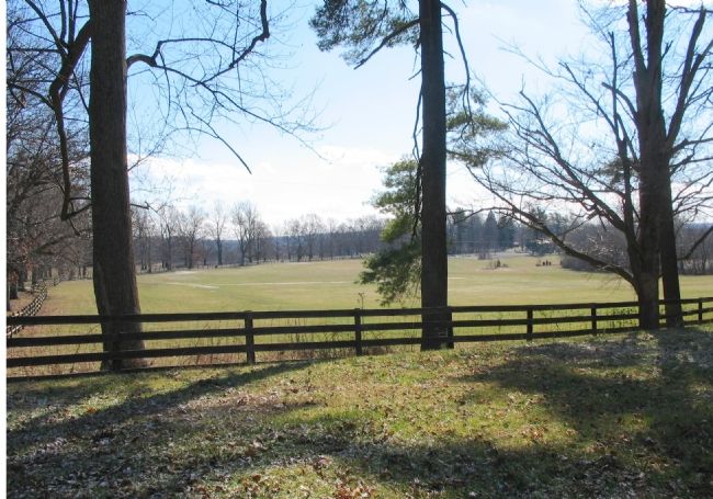
View of Oatlands Grounds from US 15. Confederate forces camped on these grounds during the lead up to the Battle of Ball's Bluff. Later Oatlands was used by forces marching through the area on the Antietam and Gettysburg campaigns. Col. John Mosby's irregular cavalry forces often used Oatlands as a rest station.
Credits. This page was last revised on April 9, 2022. It was originally submitted on June 16, 2007, by Craig Swain of Leesburg, Virginia. This page has been viewed 2,158 times since then and 23 times this year. Photos: 1. submitted on April 9, 2022, by Devry Becker Jones of Washington, District of Columbia. 2. submitted on June 16, 2007, by Craig Swain of Leesburg, Virginia. 3. submitted on April 9, 2022, by Devry Becker Jones of Washington, District of Columbia. 4. submitted on June 16, 2007, by Craig Swain of Leesburg, Virginia. • J. J. Prats was the editor who published this page.


