Augusta in Woodruff County, Arkansas — The American South (West South Central)
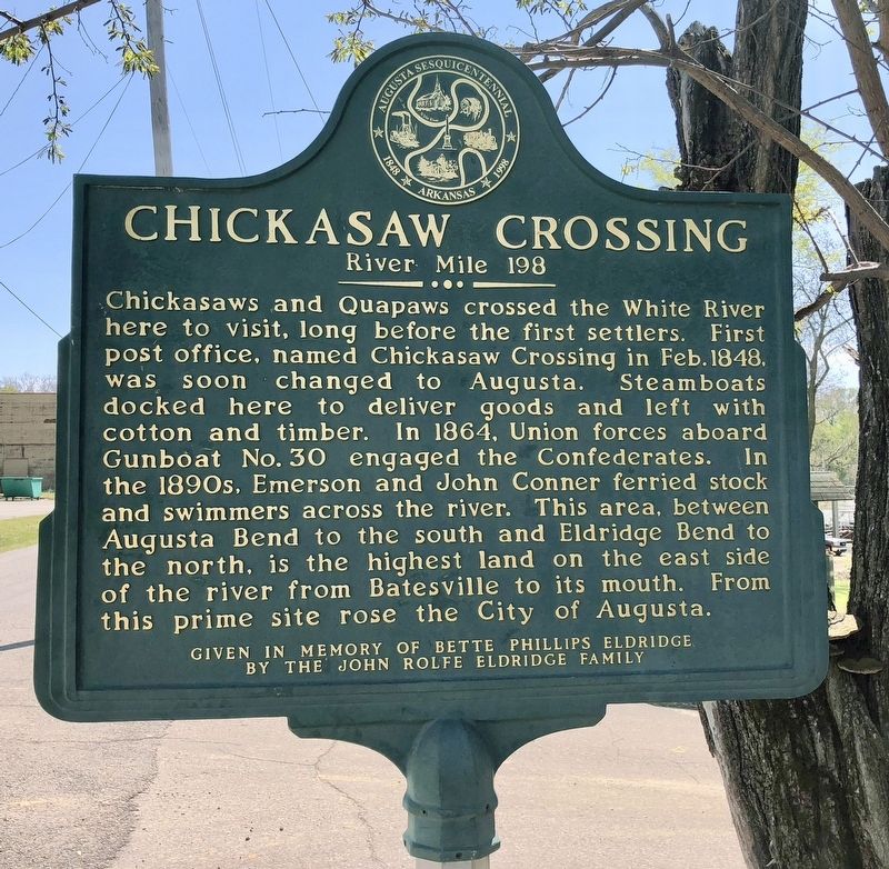
Chickasaw Crossing
River Mile 198
Erected 1998 by the Augusta Sesquicentennial Commission.
Topics. This historical marker is listed in these topic lists: Native Americans • Settlements & Settlers • War, US Civil • Waterways & Vessels. A significant historical month for this entry is February 1848.
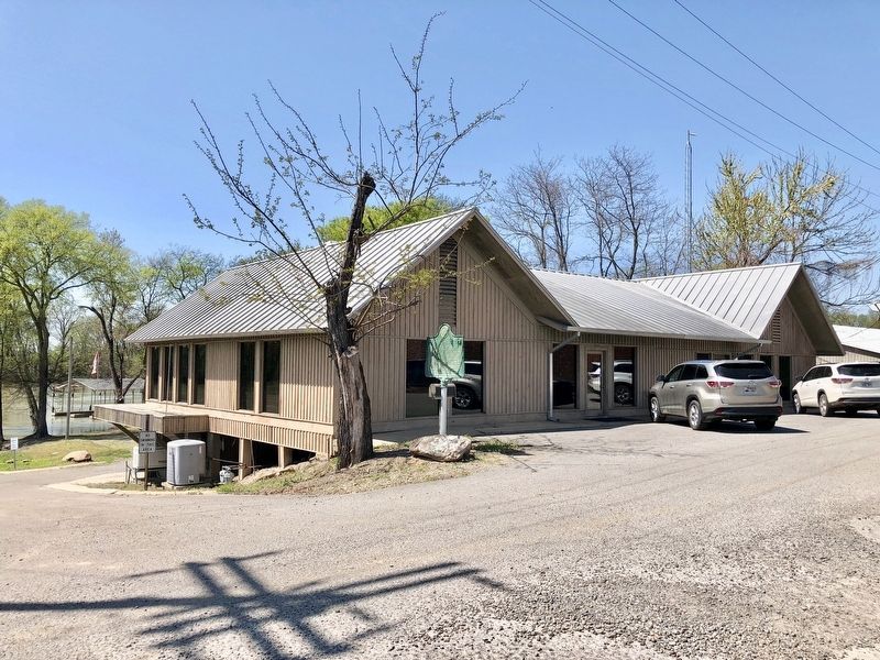
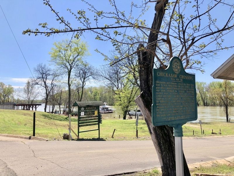
Location. 35° 17.02′ N, 91° 22.043′ W. Marker is in Augusta, Arkansas, in Woodruff County. Marker is at the intersection of South 1st Street and East Locust Street, on the right when traveling south on South 1st Street. Touch for map. Marker is at or near this postal address: 101 South 1st Street, Augusta AR 72006, United States of America. Touch for directions.
Other nearby markers. At least 8 other markers are within 6 miles of this marker, measured as the crow flies. City of Augusta (about 400 feet away, measured in a direct line); Woodruff County Presbyterian Church (approx. ¼ mile away); Augusta Presbyterian Church (approx. ¼ mile away); Woodruff County War Memorial (approx. 0.3 miles away); Woodruff County Courthouse (approx. 0.3 miles away); Augusta Memorial Park (approx. half a mile away); "It Was a Hard Little Fight" (approx. 5.1 miles away); Action at Fitzhugh's Woods (approx. 5.1 miles away). Touch for a list and map of all markers in Augusta.
Also see . . . Article describing Chickasaw Crossing & Augusta. (Submitted on April 20, 2018, by Mark Hilton of Montgomery, Alabama.)
Credits. This page was last revised on April 20, 2018. It was originally submitted on April 20, 2018, by Mark Hilton of Montgomery, Alabama. This page has been viewed 273 times since then and 19 times this year. Photos: 1, 2, 3. submitted on April 20, 2018, by Mark Hilton of Montgomery, Alabama.


