Downtown in San Antonio in Bexar County, Texas — The American South (West South Central)
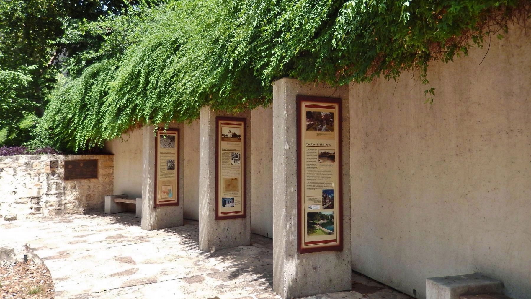
The River in the 1900s
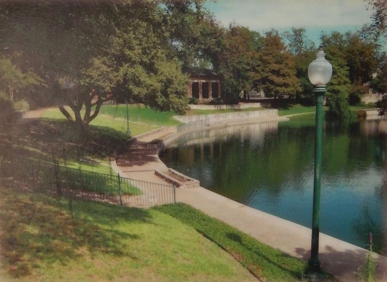
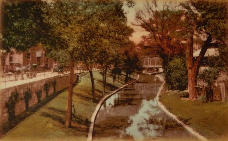
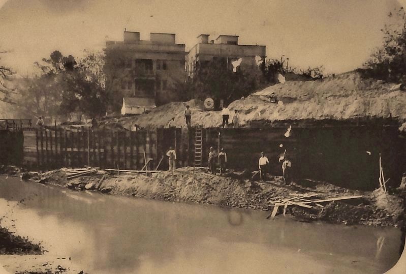
The River Walk remained a quiet linear park until HemisFair '68 attracted new hotels, shops, and restaurants. Thirty years after the fair, planning began for the San Antonio River Improvements Project to extend the River Walk beyond the downtown area, creating a thirteen-mile greenbelt from Brackenridge Park south to Mission Espada.
Topics. This historical marker is listed in these topic lists: Man-Made Features • Parks & Recreational Areas • Waterways & Vessels.
Location. 29° 25.906′ N, 98° 29.267′ W. Marker is in San Antonio, Texas, in Bexar County. It is in Downtown. Marker can be reached from Lexington Avenue north of Avenue A, on the right when traveling north. Marker is located on the San Antonio River Walk, on the south side of the river, 1/10 mile east of the Lexington Avenue bridge. Marker is a short walk from the 107 Avenue A parking lot. Touch for map. Marker is at or near this postal address: 107 Avenue A, San Antonio TX 78205, United States of America. Touch for directions.
Other nearby markers. At least 8 other markers are within walking distance of this marker. The San Antonio River (here, next to this marker); River Communities (here, next to this marker); Missions in the San Antonio River Valley (here, next to this marker); The River in the 1800's (here, next to this marker); The Hugman Dam (a few steps from this marker); Mayor Maury Maverick Mural (a few steps from this marker); Toltec Apartments (about 500 feet away, measured in a direct line); Maverick-Carter House (about 700 feet away). Touch for a list and map of all markers in San Antonio.
More about this marker. This marker is one of five adjacent San Antonio River historical markers at this location.
Related markers. Click here for a list of markers that are related to this marker. San Antonio River History
Also see . . . HemisFair '68. HemisFair
'68, held in San Antonio from April 6 through October 6, 1968, was the first officially designated international exposition in the Southwestern United States. The fair, which commemorated the 250th anniversary of the founding of San Antonio, had its beginnings in 1959, when local business leaders, inspired by merchant Jerome K. Harris, started discussing a fair to celebrate the cultural heritage shared by San Antonio and the nations of Latin America—a "Hemis-Fair," as Harris then called it. (Submitted on July 3, 2018, by Cosmos Mariner of Cape Canaveral, Florida.)

Photographed By Courtesy: San Antonio River Authority, circa 1988
4. Marker detail: King William Historic District, circa 1988
The River Walk was extended into the newly constructed Convention Center at the time of HemisFair '68, and was completed south of downtown through the King William Historic District in 1988.
Credits. This page was last revised on February 2, 2023. It was originally submitted on July 2, 2018, by Cosmos Mariner of Cape Canaveral, Florida. This page has been viewed 223 times since then and 12 times this year. Photos: 1, 2, 3, 4, 5. submitted on July 3, 2018, by Cosmos Mariner of Cape Canaveral, Florida. • Andrew Ruppenstein was the editor who published this page.


