Downtown in San Antonio in Bexar County, Texas — The American South (West South Central)
The San Antonio River
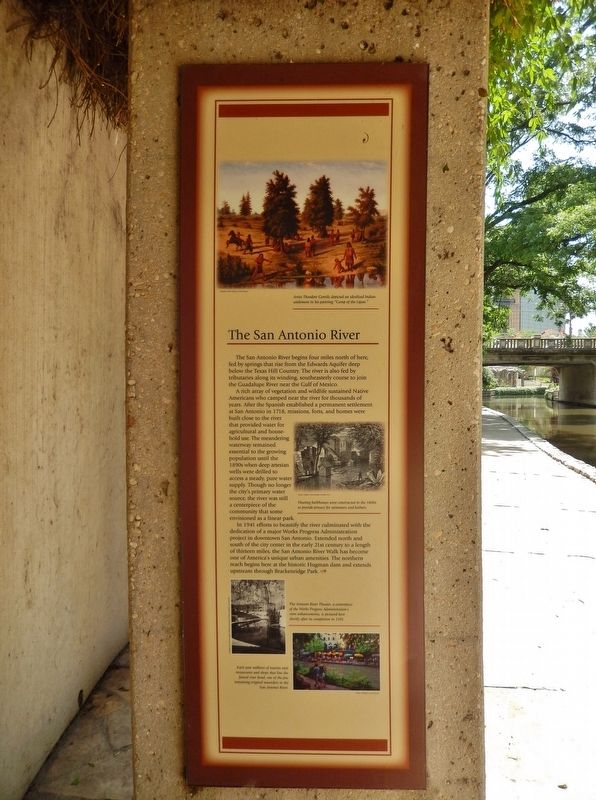
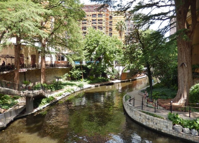
The San Antonio River begins four miles north of here, fed by springs that rise from the Edwards Aquifer deep below the Texas Hill Country. The river is also fed by tributaries along its winding, southeasterly course to join the Guadalupe River near the Gulf of Mexico.
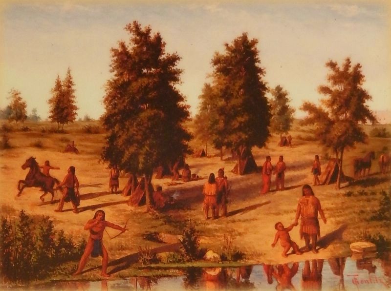
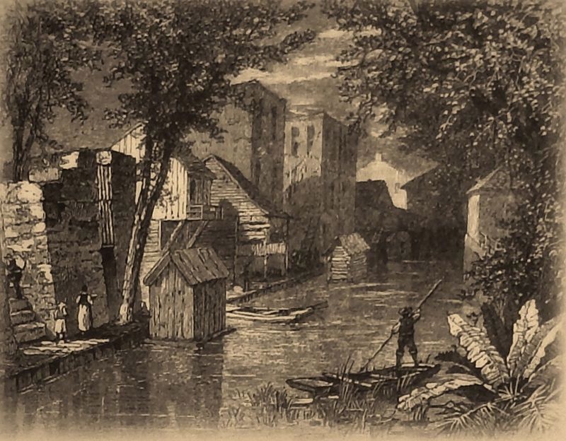
A rich array of vegetation and wildlife sustained Native Americans who camped near the river for thousands of years. After the Spanish established a permanent settlement at San Antonio in 1718, missions, forts, and homes were built dose to the river that provided water for agricultural and house-hold use. The meandering waterway remained essential to the growing population until the 1890s when deep artesian wells were drilled to access a steady, pure water supply. Though no longer the city's primary water source, the river was still a centerpiece of the community that some envisioned as a linear park.
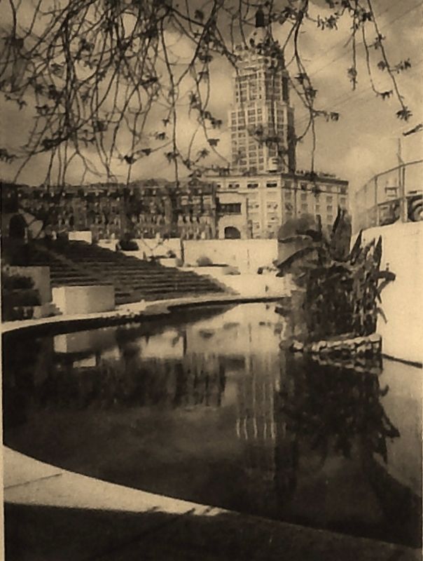
In 1941 efforts to beautify the river culminated with the dedication of a major Works Progress Administration project in downtown San Antonio. Extended north and south of the city center in the early 21st century to a length of thirteen miles, the San Antonio River Walk has become one of America's unique urban amenities. The northern reach begins here at the historic Hugman dam and extends upstream through Brackenridge Park.
Topics. This historical marker is listed in these topic lists: Native Americans • Parks & Recreational Areas • Settlements & Settlers • Waterways & Vessels.
Location. 29° 25.906′ N, 98° 29.267′ W. Marker is in San Antonio, Texas, in Bexar County. It is in Downtown. Marker can be reached from Lexington Avenue north of Avenue A, on the right when traveling north. Marker is located on the San Antonio River Walk, on the south side of the river, 1/10 mile east of the Lexington Avenue bridge. Marker is a short walk from the 107 Avenue A parking lot. Touch for map. Marker is at or near this postal address: 107 Avenue A, San Antonio TX 78205, United States of America. Touch for directions.
Other nearby markers. At least 8 other markers are within walking distance of this marker. The River in the 1900s (here, next to this marker); River Communities (here, next to this marker); Missions in the San Antonio River Valley (here, next to this marker); The River in the 1800's (here, next to this marker); The Hugman Dam (a few steps from this marker); Mayor Maury Maverick Mural (a few steps from this marker); Toltec Apartments
(about 500 feet away, measured in a direct line); Maverick-Carter House (about 600 feet away). Touch for a list and map of all markers in San Antonio.
More about this marker. This marker is one of five adjacent San Antonio River historical markers at this location.
Related markers. Click here for a list of markers that are related to this marker. San Antonio River History
Also see . . .
1. The San Antonio River. The San Antonio River rises in a cluster of springs in north central San Antonio approximately four miles north of downtown. Olmos Creek empties into the river just below its head, and other springs continue to join as the river flows through the city. From San Antonio, the river flows southeast 180 miles through Wilson, Karnes, and Goliad counties and then forms the county line between Victoria and Refugio counties. It empties into the Guadalupe River four miles north of Tivoli at the intersection of the Calhoun, Refugio, and Victoria county lines. (Submitted on June 21, 2018, by Cosmos Mariner of Cape Canaveral, Florida.)
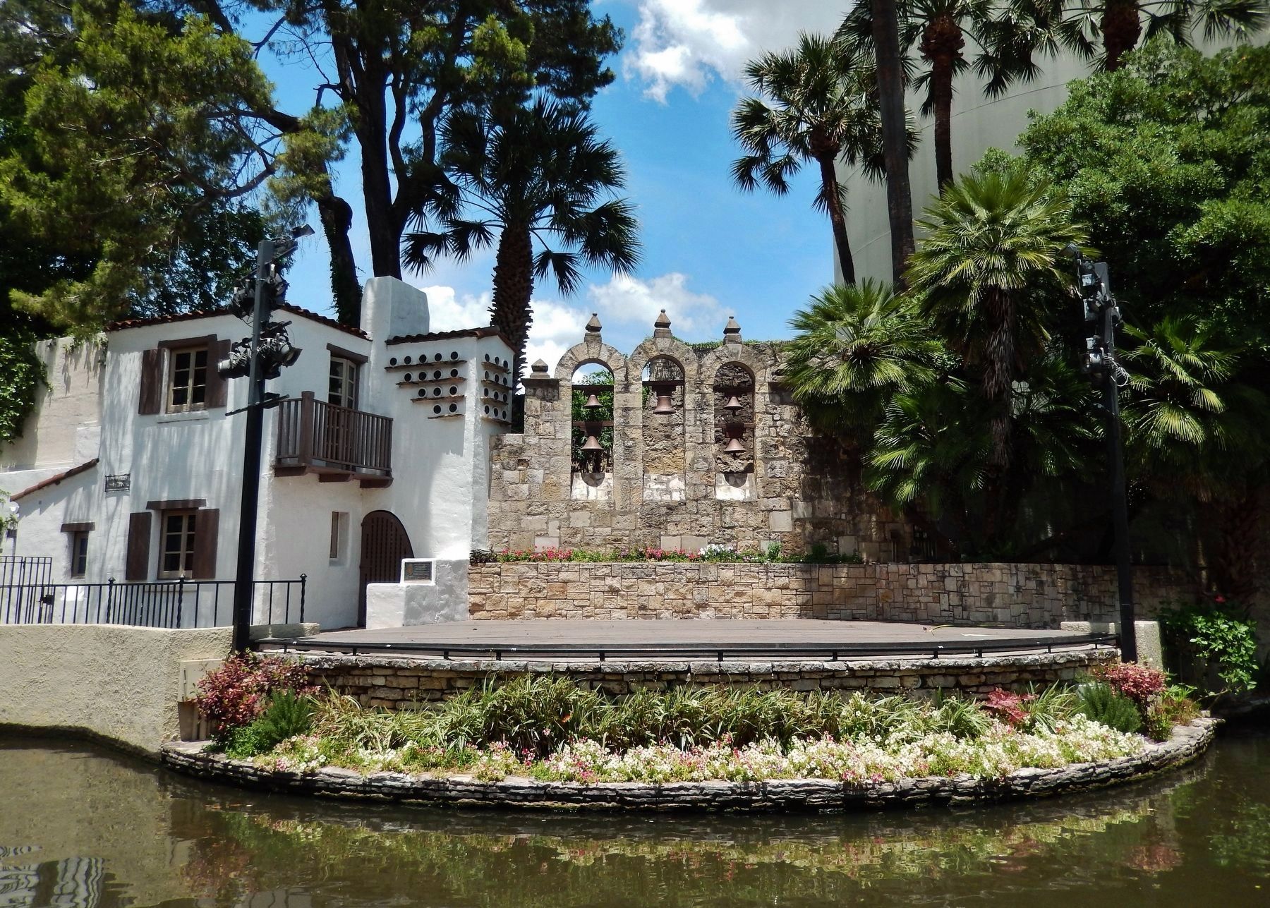
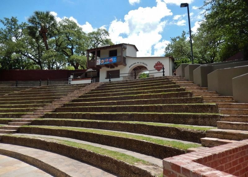
2. Arneson River Theater in San Antonio. The Arneson River Theater in San Antonio was established in 1939 by the Works Project Administration.
The Arneson River Theater is a beautiful and historic theatre that has been serving the San Antonio community since the Great Depression damaged the country economically, and is still promoting economic growth in San Antonio by attracting thousands of tourists to the city each year. (Submitted on June 21, 2018, by Cosmos Mariner of Cape Canaveral, Florida.)
Credits. This page was last revised on February 2, 2023. It was originally submitted on June 21, 2018, by Cosmos Mariner of Cape Canaveral, Florida. This page has been viewed 226 times since then and 10 times this year. Last updated on July 3, 2018, by Cosmos Mariner of Cape Canaveral, Florida. Photos: 1, 2, 3, 4, 5, 6. submitted on June 21, 2018, by Cosmos Mariner of Cape Canaveral, Florida. 7, 8, 9. submitted on June 27, 2018, by Cosmos Mariner of Cape Canaveral, Florida. • Andrew Ruppenstein was the editor who published this page.

