No Name in Garfield County, Colorado — The American Mountains (Southwest)
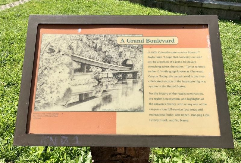
A Grand Boulevard
Erected by Colorado Department of Transportation, Colorado Department of Wildlife.
Topics. This historical marker is listed in these topic lists: Natural Features • Roads & Vehicles. A significant historical year for this entry is 1905.
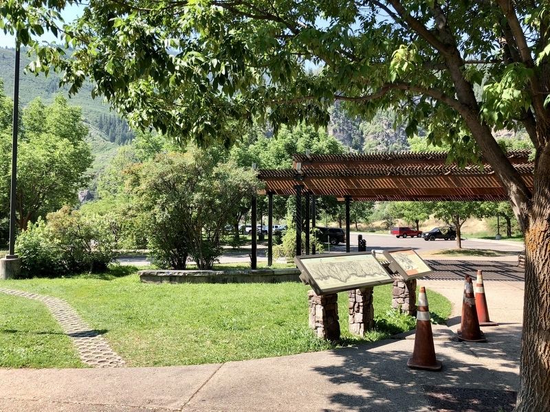
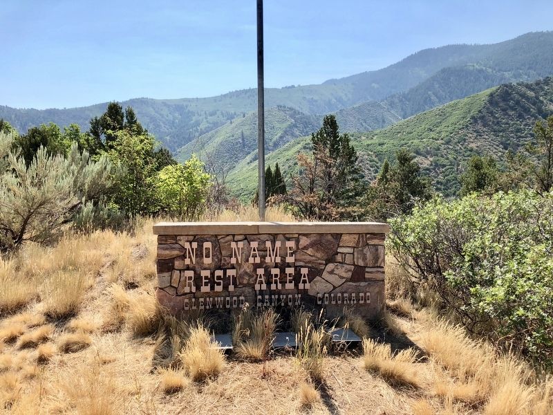
Location. 39° 33.599′ N, 107° 17.484′ W. Marker is in No Name, Colorado, in Garfield County. Marker can be reached from Interstate 70 Frontage Road at milepost 119 east of No Name Lane (County Road 129). Located in the No Name CDOT Rest Stop. Touch for map. Marker is at or near this postal address: 1308 CR-129, Glenwood Springs CO 81601, United States of America. Touch for directions.
Other nearby markers. At least 8 other markers are within 2 miles of this marker, measured as the crow flies. The California Zephyr (within shouting distance of this marker); Illuminating the Future (approx. 1.7 miles away); The Glenwood Springs Hydroelectric Plant (approx. 1.7 miles away); Rex Hotel (approx. 1.9 miles away); Star Hotel (approx. 1.9 miles away); Hotel Denver (approx. 1.9 miles away); When the Railroads Arrived in Glenwood Springs (approx. 2 miles away); Water for Glenwood Springs (approx. 2 miles away).
Also see . . . Glenwood Canyon I-70 Final Link. (Submitted on July 14, 2018, by Mark Hilton of Montgomery, Alabama.)
Additional commentary.
1. The Naming of No Name
The most widely accepted story of how "No Name" got its 'name' is that the state sent out questionnaires about the town’s name to the villagers. The majority of inhabitants wrote “No Name” under the section labeled Name of Town. The state took them at their word and officially recorded “No Name” into the state records, sealing the town’s fate. Despite attempts to change it, the name stuck. It is listed as one of 15 of the Weirdest Town Names in America.
— Submitted July 14, 2018, by Mark Hilton of Montgomery, Alabama.
Credits. This page was last revised on July 14, 2018. It was originally submitted on July 14, 2018, by Mark Hilton of Montgomery, Alabama. This page has been viewed 206 times since then and 13 times this year. Photos: 1, 2, 3, 4. submitted on July 14, 2018, by Mark Hilton of Montgomery, Alabama.


