Cheboygan in Cheboygan County, Michigan — The American Midwest (Great Lakes)
Cheboygan's Beginnings
"The Pipe"
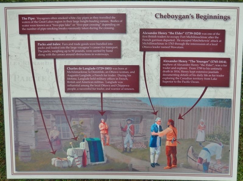
The Pipe:
Voyageurs often smoked white clay pipes as they travelled the waters of the Great Lakes region in their large freight-hauling canoes. Bodies of water were known as a "two-pipe lake" or "five-pipe crossing" depending on the number of pipe-smoking breaks commonly taken during the crossing.
Packs and bales:
Furs and trade goods were bundled into packs and loaded into the large voyageur's canoes for transport. The packs, weighing up to 90 pounds, were carried by hand along with the canoes around obstructions in waterways.
Charles de Langlade (1729-1801)
was born at Michilimackinac to Domitilde, an Ottawa woman, and Augustin Langlade, a French fur trader. During his lifetime, Langlade held military offices in French, British and American militias. Langlade was influential among the local Ottawa and Chippewa people, a successful fur trader, and warrior of renown.
Alexander Henry "the Elder" (1739-1824)
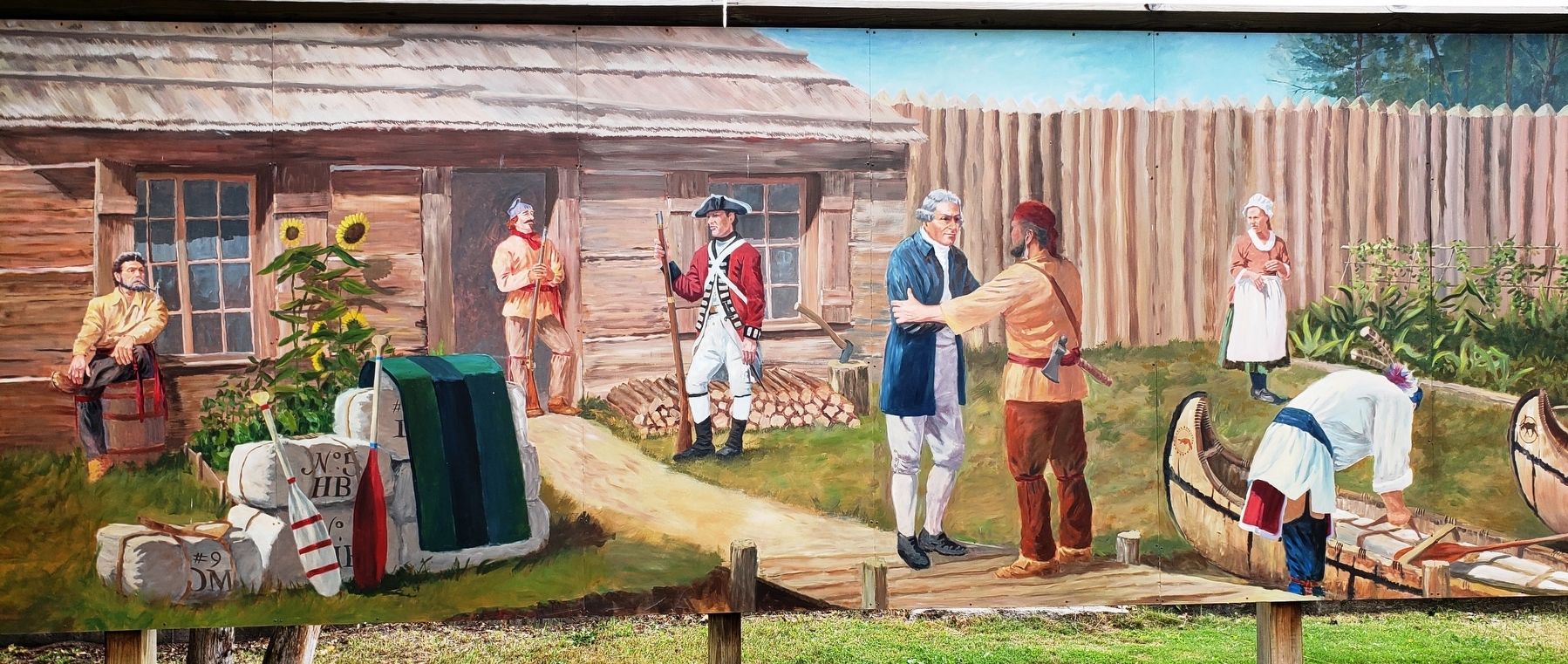
was one of the first British traders to occupy Fort Michilimackinac after the French garrison departed. He escaped Matchekewis' attack at Michillimackinac in 1763 through the intercession of a local Ottawa leader named Wawatam.
Alexander Henry "The Younger" (1765-1814)
nephew of Alexander Henry "the Elder", was a fur trader and explorer. From 1799 to his untimely death in 1814, Henry kept extensive journals documenting details of his daily life as fur trader exploring the Canadian territory from Lake Superior to the Pacific Ocean.
Topics. This historical marker is listed in these topic lists: Colonial Era • Native Americans • Settlements & Settlers • Waterways & Vessels. A significant historical year for this entry is 1763.
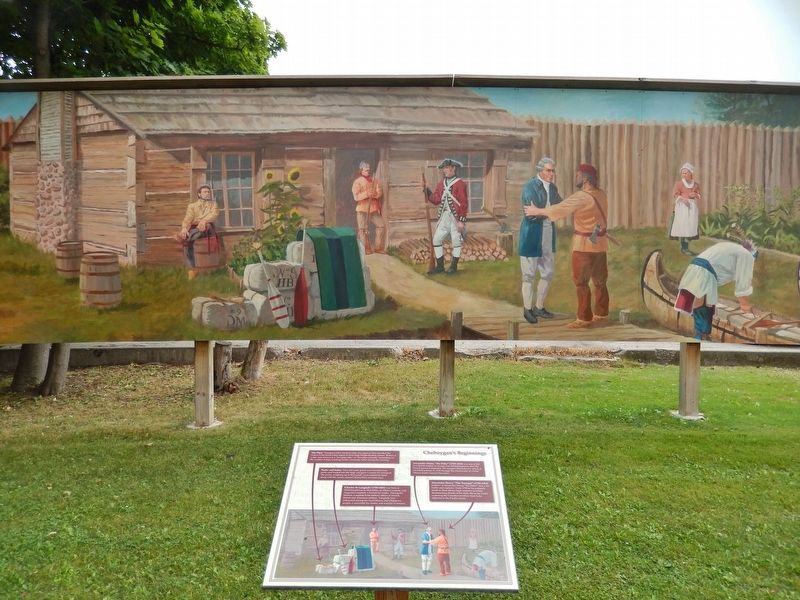
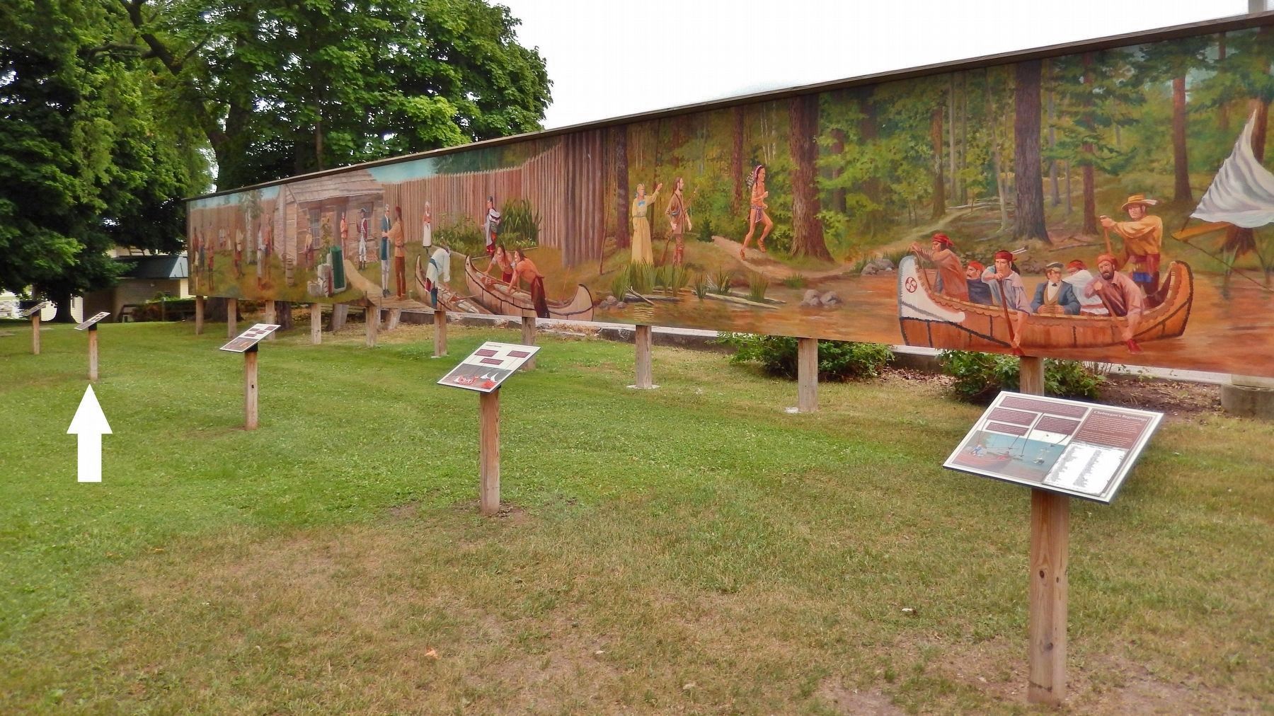
Location. 45° 38.598′ N, 84° 28.641′ W. Marker is in Cheboygan, Michigan, in Cheboygan County. Marker can be reached from North Main Street (State Highway 27) south of West Elm Street, on the right when traveling north. This marker, related markers, and associated mural are located along the south side of Cheboygan's Washington Park, on the east side of North Main Street. Touch for map. Marker is at or near this postal address: 124 North Main Street, Cheboygan MI 49721, United States of America. Touch for directions.
Other nearby markers. At least 8 other markers are within walking distance of this marker. A different marker also named Cheboygan's Beginnings (here, next to this marker); a different marker also named Cheboygan's Beginnings (here, next to this marker); a different marker also named Cheboygan's Beginnings (a few steps from this marker); a different marker also named Cheboygan's Beginnings (a few steps from this marker); Old Cheboygan County Courthouse (approx.
0.4 miles away); Jail and Sheriff's Residence (approx. 0.4 miles away); St. Mary Church (approx. half a mile away); Jacob J. Post House (approx. half a mile away). Touch for a list and map of all markers in Cheboygan.
More about this marker. Marker is a large composite plaque, mounted horizontally on a waist-high post. This is marker #2 of a five marker series which outlines some early colonial history and characters of Cheboygan, Michigan.
Related markers. Click here for a list of markers that are related to this marker. Cheboygan's Beginnings Mural Series
Credits. This page was last revised on August 19, 2018. It was originally submitted on August 15, 2018, by Cosmos Mariner of Cape Canaveral, Florida. This page has been viewed 169 times since then and 16 times this year. Photos: 1. submitted on August 17, 2018, by Cosmos Mariner of Cape Canaveral, Florida. 2, 3, 4. submitted on August 18, 2018, by Cosmos Mariner of Cape Canaveral, Florida. • Bill Pfingsten was the editor who published this page.


