Exploring the Corridor
1828 - 1932
“Our residents take pride and partner in their heritage—they understand the meaning of what we have and act to preserve it”
Delaware & Lehigh National Heritage Corridor and State Heritage Park, Management Action Plan.
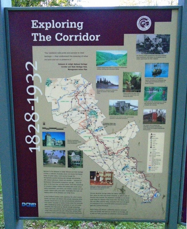
Welcome to the Delaware & Lehigh National Heritage Corridor (D&L), a collection of people, places and events that helped shape our nation's history. Come journey through five Pennsylvania counties rich with history and brimming with opportunities for outdoor adventure. Follow the 165-mile D&L Trail as it traverses canal towpaths and former railroad beds between Wilkes-Barre, Luzerne County and Bristol, Bucks County. Shop, dine, and unwind in our region's small canal towns and travel through our large, industrial cities to experience the eclectic culture that centuries of lumbering, mining, canals, railroads and steel working have produced. Fish or float on the region's natural arteries—the Delaware and Lehigh Rivers, or spend a day at a world-class museum or festival. No matter your interest, the D&L has something for you.
The D&L is a non-profit, membership organization designated by the United States Congress to protect the nationally-significant historic and natural resources found in this region. Through partnerships at the federal, state, and local
levels and engagement with the region's proud residents and businesses, the D&L has crafted a legacy of protecting our past, while enriching our future. Please consider supporting our work by becoming a member today.To learn more about the D&L, our trail or our other initiatives, please visit delawareandlehigh.org.
[Photo captions, from top to bottom, read]
• As diverse people immigrated here they endured many hardships with hopes for prosperity and to create opportunity for their children.
• Lehigh Gorge State Park is a haven for whitewater rafting, boating and mountain hiking.
• Monuments to America’s industrial might are found in the Lehigh Valley.
• Mules pulled the mine cars, towed the canal boats and farmed the land.
• A turning point in our nation’s history occurred on Christmas Day, 1776 along the Delaware River in Bucks County.
• Trails along the Susquehanna, Lehigh and Delaware Rivers help visitors navigate the Corridor.
• Anthracite coal mined in the north fueled America’s industrial revolution.
• The region has accepted the challenge to protect exceptional vistas while encouraging appropriate development.
• Historic Landmarks illustrate the rich legacy of our forefathers.
• Moravians created a thriving commercial life based on early industrial crafts.
Erected by
Topics. This historical marker is listed in these topic lists: Entertainment • Man-Made Features • Parks & Recreational Areas • Waterways & Vessels. A significant historical year for this entry is 1776.
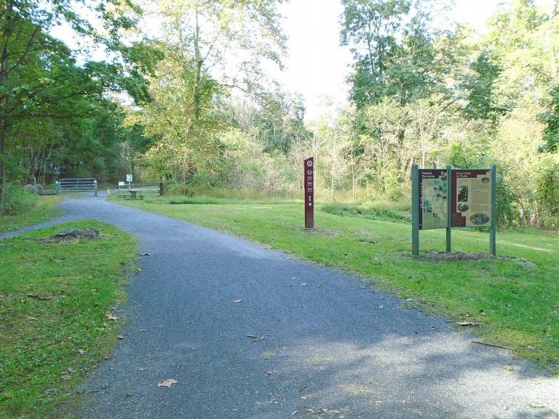
Location. 40° 43.146′ N, 75° 31.569′ W. Marker is near Laurys Station, Pennsylvania, in Lehigh County. It is in North Whitehall Township. Marker is at the intersection of River Drive (Pennsylvania Route 148) and River Drive, on the right when traveling north on River Drive. Marker is along the trail, just east of the highway at the River Drive Trailhead. Touch for map. Marker is at or near this postal address: 5291 River Dr, Laurys Station PA 18059, United States of America. Touch for directions.
Other nearby markers. At least 8 other markers are within 3 miles of this marker, measured as the crow flies. From Rails to Trails (here, next to this marker); Walking Purchase (approx. 1.1 miles away); The Famous Indian Walk (approx. 1.1 miles away); Veterans Memorial (approx. 1.3 miles away); The Mills of Allen Township (approx. 1.3 miles away); Troxell-Steckel House (approx. 2.6 miles away); a different marker also named Veterans Memorial (approx. 2.7 miles away); The Reformed Pastors of the Egypt Union Church (approx. 2.8 miles away).
Also see . . . Delaware & Lehigh National Heritage Corridor Info . (Submitted on September 30, 2018, by William Fischer, Jr. of Scranton, Pennsylvania.)
Credits. This page was last revised on February 7, 2023. It was originally submitted on September 30, 2018, by William Fischer, Jr. of Scranton, Pennsylvania. This page has been viewed 181 times since then and 15 times this year. Photos: 1, 2. submitted on September 30, 2018, by William Fischer, Jr. of Scranton, Pennsylvania.

