Guanajuato, Mexico — The Central Highlands (North America)
The Route of Hidalgo
La Ruta de Hidalgo
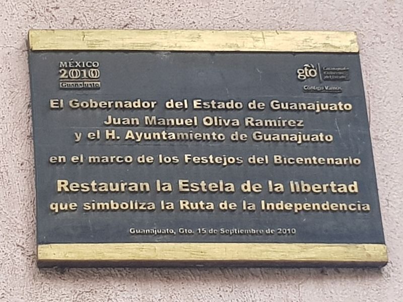
Guanajauto, Gto. 15 de Septiembre de 2010
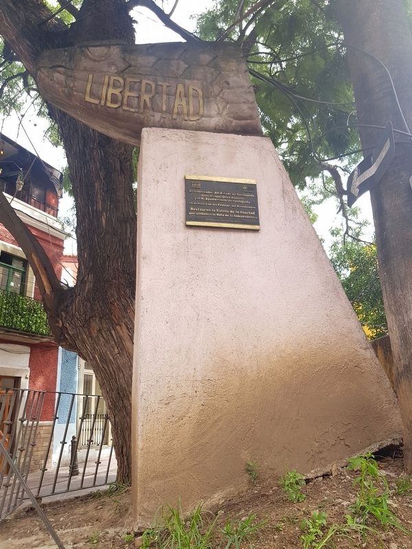
The Governor of the State of Guanajuato, Juan Manuel Oliva Ramírez and the Honorable City Hall of Guanajuato, in the framework of the Bicentennial Celebrations, restore this Column of Liberty that symbolizes the Route of Independence
Guanajauto, Guanajuato, September 15, 2010
Erected 2010 by El Gobernador del Estado de Guanajuato Juan Manuel Oliva Ramírez y el Honorable Ayuntamiento de Guanajuato.
Topics. This memorial is listed in these topic lists: Civil Rights • Colonial Era • Wars, Non-US.
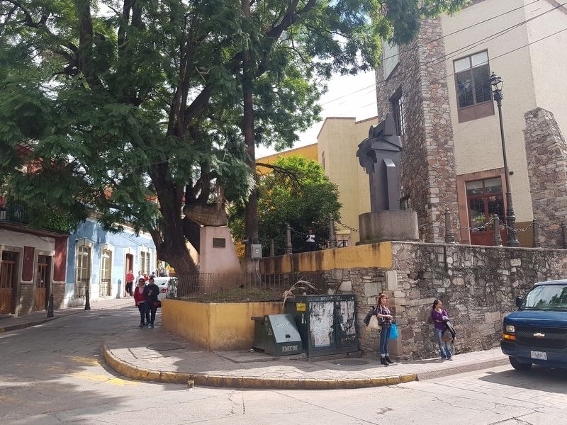
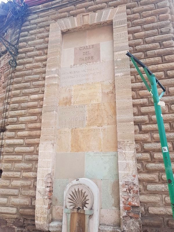
Location. 21° 0.779′ N, 101° 15.086′ W. Marker is in Guanajuato. Memorial is at the intersection of Padre Belaunzarán and Chalico , on the right when traveling east on Padre Belaunzarán. Touch for map. Marker is in this post office area: Guanajuato 36000, Mexico. Touch for directions.
Other nearby markers. At least 8 other markers are within walking distance of this marker. House of Juan Antonio de Riano y Bárcenas (within shouting distance of this marker); Vallejo Metals Processing Plant (about 90 meters away, measured in a direct line); Miguel Hidalgo and the Owl's Hill (about 120 meters away); Euquerio Guerrero López (about 120 meters away); The Temple of San Juan Bautista (about 150 meters away); The Church of San Francisco (about 150 meters away); El Puente de Nava (about 150 meters away); House of Manuel Doblado (about 180 meters away). Touch for a list and map of all markers in Guanajuato.
Regarding The Route of Hidalgo. In order to celebrate the 150th anniversary of the beginning of the struggle for Mexican Independence, the Mexican Secretary of Public Education erected 260 monuments similar to this one in 1960. They marked the Route of Hidalgo and his Insurgent Army from Dolores to Chihuahua, the place of his final sacrifice. In 2010, many of these monuments were restored as a way to celebrate the 200th anniversary of the beginning of Mexican Independence.
Credits. This page was last revised on October 5, 2018. It was originally submitted on October 5, 2018, by J. Makali Bruton of Accra, Ghana. This page has been viewed 108 times since then and 12 times this year. Photos: 1, 2, 3, 4. submitted on October 5, 2018, by J. Makali Bruton of Accra, Ghana.


