Blitchton in Bryan County, Georgia — The American South (South Atlantic)
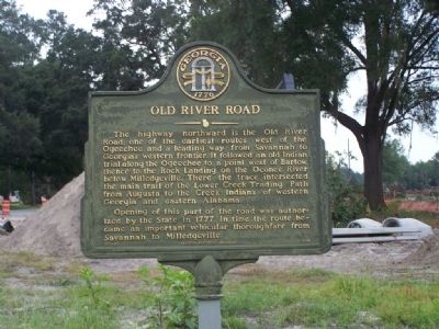
Old River Road
Opening of this part of the road was authorized by the State in 1777. In time the route became an important vehicular thoroughfare from Savannah to Milledgeville.
Erected 1996 by Georgia Historic Marker. (Marker Number 015-5B.)
Topics and series. This historical marker is listed in these topic lists: Colonial Era • Native Americans • Notable Places • Roads & Vehicles. In addition, it is included in the Georgia Historical Society series list. A significant historical year for this entry is 1777.
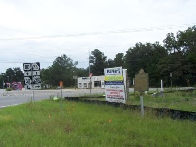
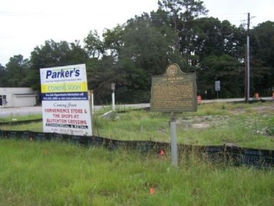
Location. 32° 11.832′ N, 81° 26.309′ W. Marker is in Blitchton, Georgia, in Bryan County. Marker is on U.S. 80 near U.S. 280, on the right when traveling south. Touch for map. Marker is in this post office area: Ellabell GA 31308, United States of America. Touch for directions.
Other nearby markers. At least 8 other markers are within 11 miles of this marker, measured as the crow flies. Jencks Bridge (approx. 1.3 miles away); Sherman's Right Wing (approx. 3.3 miles away); a different marker also named Sherman's Right Wing (approx. 3.6 miles away); Sherman at Zion Church (approx. 4˝ miles away); a different marker also named Old River Road (approx. 6.4 miles away); Guyton Confederate General Hospital (approx. 9.7 miles away); Pilgrim Missionary Baptist Normal and Industrial Institute (approx. 10.3 miles away); Stilson, Georgia (approx. 11 miles away).
Also see . . . Transportation in the American Frontier,By Sherri M.L. Smith. "Probably the best-known and most heavily traveled Indian trail in Georgia was the Lower Creek Trading Path. From the trading center of Augusta, it ran westward across the state, following the geographical fall line." (Submitted on October 14, 2008, by Mike Stroud of Bluffton, South Carolina.)
Credits. This page was last revised on March 12, 2019. It was originally submitted on October 14, 2008, by Mike Stroud of Bluffton, South Carolina. This page has been viewed 2,289 times since then and 24 times this year. Photos: 1, 2, 3. submitted on October 14, 2008, by Mike Stroud of Bluffton, South Carolina. • Kevin W. was the editor who published this page.


