Santiago de Querétaro in Querétaro, Mexico — The Central Highlands (North America)
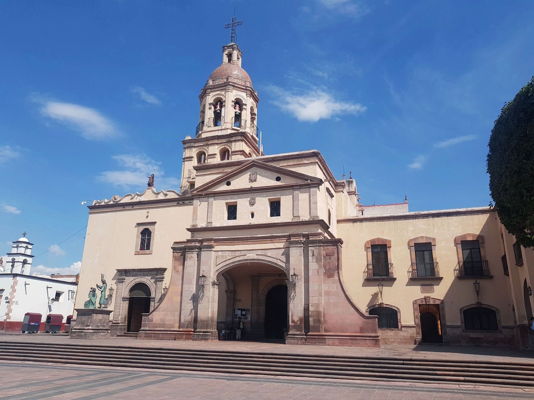
Temple and Convent of Santa Cruz
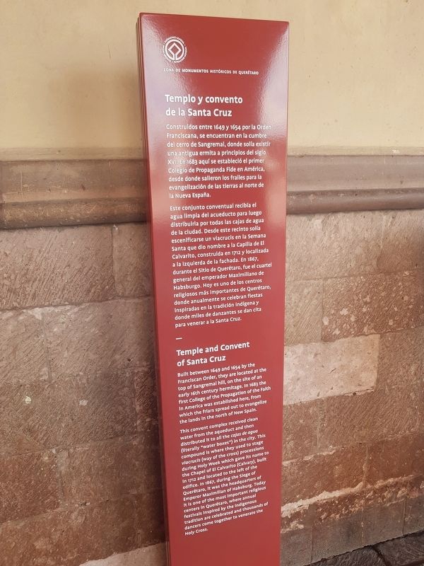
Templo y convento de la Santa Cruz
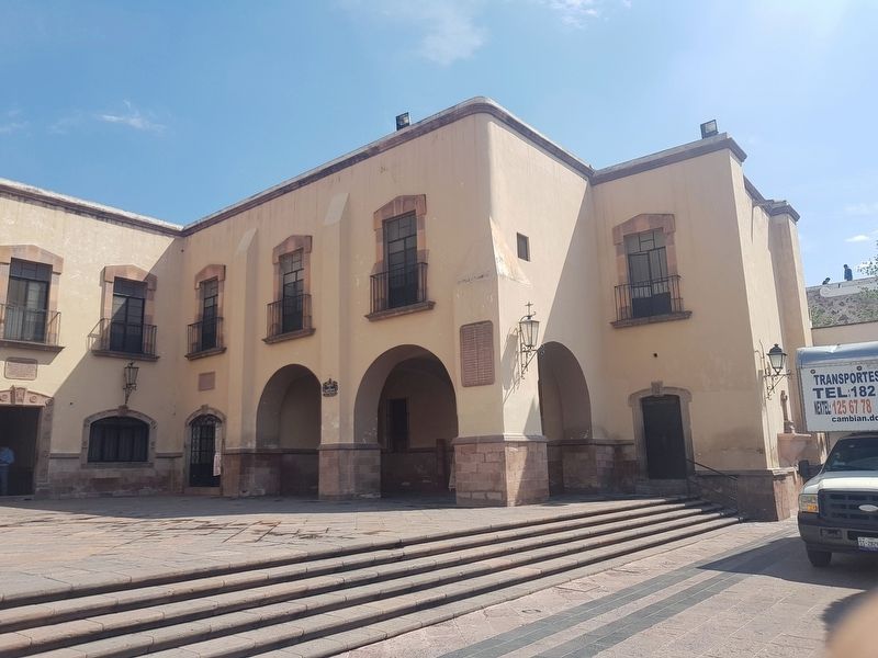
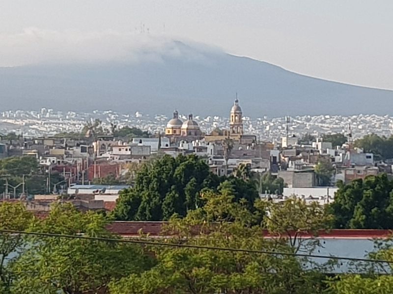
Construidos entre 1649 y 1654 por la Orden Franciscana, se encuentran en la cumbre del cerro de Sangremal, donde solía existir una antigua ermita a principios del siglo XVI. En 1683 aquí se estableció el primer Colegio de Propaganda Fide en América, desde donde salieron los frailes para la evangelización de las tierras al norte de a Nueva España.
Este conjunto conventual recibía el agua limpia del acueducto para luego distribuirla por todas las cajas de agua de la ciudad. Desde este recinto solía escenificarse un viacrucis en la Semana Santa que dio nombre a la Capilla de El Calvarito, construida en 1712 y localizada a la izquierda de la fachada. En 1867, durante el Sitio de Querétaro, fue el cuartel general del emperador Maximiliano de Habsburgo. Hoy es uno de los centros religiosos más importantes de Querétaro, donde anualmente se celebran fiestas inspiradas en la tradición indigena y donde miles de danzantes se dan cita para venerar a la Santa Cruz.
Temple and Convent of Santa Cruz
Built between 1649 and 1654 by the Franciscan Order, they are located at the top of Sangremal hill, on the site of an early 16th century hermitage. In 1683 the first College of the Propagation of the Faith in America was established here, from which the friars spread out to evangelize the lands in the north of New Spain.
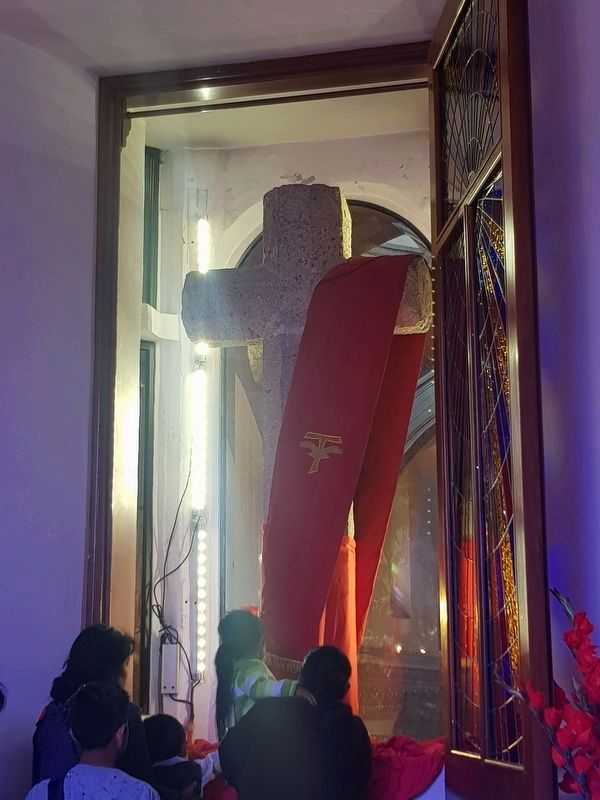
This convent complex received clean water from the aqueduct and then distributed it to all the cajas de agua (literally "water boxes") in the city. This compound is where they used to stage viacrucis (way of the cross) processions during Holy Week which gave its name to the Chapel of El Calvarito (Calvary), built in 1712 and located to the left of the edifice. In 1867, during the Siege of Querétaro, it was the headquarters of Emperor Maximilian of Hapsburg. Today it is one of the most important religios centers in Querétaro, where annual festivals inspired by the indigenous tradition are celebrated and thousands of dancers come together to venerate the Holy Cross.
Erected 2018 by Municipalidad de Querétaro.
Topics. This historical marker is listed in these topic lists: Churches & Religion • Colonial Era • Man-Made Features • Wars, Non-US. A significant historical year for this entry is 1736.
Location. 20° 35.578′ N, 100° 23.022′ W. Marker is in Santiago de Querétaro, Querétaro.
Marker is on Calle Independencia just east of Calle Manuel Acuña, on the right when traveling east. Touch for map. Marker is in this post office area: Santiago de Querétaro QUE 76020, Mexico. Touch for directions.
Other nearby markers. At least 8 other markers are within walking distance of this marker. Founding and History of the Church of the Holy Cross (here, next to this marker); Historical Events at the Church of the Holy Cross (a few steps from this marker); Friar Antonio Margil de Jesus Ros (a few steps from this marker); Friar Antonio de Jesus María Linaz Massanet (within shouting distance of this marker); Friar Antonio Margil de Jésus (within shouting distance of this marker); Friar Junipero Serra (within shouting distance of this marker); Fountain of the Virgin del Pilar (within shouting distance of this marker); The Historic Monuments Zone of Querétaro (about 90 meters away, measured in a direct line). Touch for a list and map of all markers in Santiago de Querétaro.
Credits. This page was last revised on May 25, 2020. It was originally submitted on November 5, 2018, by J. Makali Bruton of Accra, Ghana. This page has been viewed 227 times since then and 33 times this year. Photos: 1, 2. submitted on November 5, 2018, by J. Makali Bruton of Accra, Ghana. 3. submitted on October 19, 2019, by J. Makali Bruton of Accra, Ghana. 4. submitted on May 25, 2020, by J. Makali Bruton of Accra, Ghana. 5. submitted on November 5, 2018, by J. Makali Bruton of Accra, Ghana.
