Darien in McIntosh County, Georgia — The American South (South Atlantic)
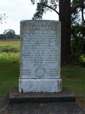
To The Soldiers Of Fort King George
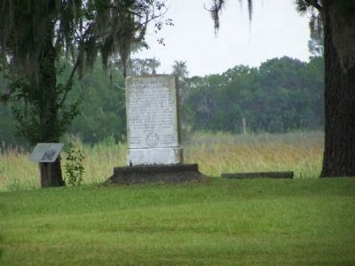
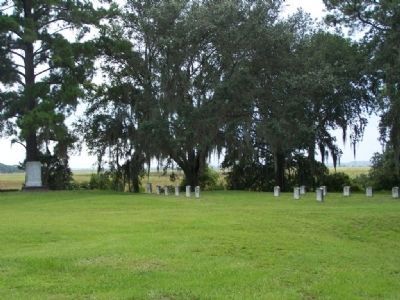
To the Soldiers of Fort King George who gave their lives in defense of the Southern English Frontier in America during the occupation of this little outpost from 1721 to 1727 and were buried upon this bluff. Fort King George, built on the low ground 200 yards east of here, was the first English settlement in the land which is now Georgia. More than 140 British soldiers lost their lives in the first planned effort to hold the Old Southeast for English speaking people.
Erected 1940 by Department of Natural Sources Division of State Parks Historic Sites & Monuments.
Topics. This historical marker is listed in these topic lists: Cemeteries & Burial Sites • Colonial Era • Settlements & Settlers • Wars, US Indian. A significant historical year for this entry is 1721.
Location. 31° 21.859′ N, 81° 24.972′ W. Marker is in Darien, Georgia, in McIntosh County. Marker can be reached from Fort King George Road (Georgia Route 25 Spur). At Fort King George. Touch for map. Marker is in this post office area: Darien GA 31305, United States of America. Touch for directions.
Other nearby markers. At least 8 other markers are within walking distance of this marker. 200 Years of Sawmilling (within shouting distance of this marker); How Steam Engines Worked (within shouting distance of this marker); Lower Bluff Sawmill (within shouting distance of this marker); Guale Indian Village (within shouting distance of this marker); The Savannah Lumber Company (within shouting distance of this marker); Old Fort King George (within shouting distance of this marker); Site of Early Spanish Mission (about 400 feet away, measured in a direct line); Birthplace of John McIntosh Kell (approx. 0.6 miles away). Touch for a list and map of all markers in Darien.
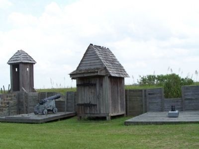
Regarding To The Soldiers Of Fort King George. A cypress blockhouse, barracks and palisaded earthen fort were constructed in 1721 by scoutmen led by Colonel John "Tuscarora Jack" Barnwell. For the next seven years, His Majesty's Independent Company garrisoned the fort. They endured incredible hardships from disease, threats of Spanish and Indian attacks, and the harsh, unfamiliar coastal environment. After the fort was abandoned, General James Oglethorpe brought Scottish Highlanders to the site in 1736. The settlement, called Darien, eventually became a foremost export center of lumber until 1925. See the links below for more information.
Also see . . . Fort King George
. New Georgia Encyclopedia website entry (Submitted on October 19, 2008, by Mike Stroud of Bluffton, South Carolina.)
Photographed By Mike Stroud, 2008
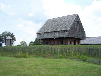
5. The blockhouse
a forty-foot-high building, was constructed as an accurate representation of the initial structure, according to the original plans obtained from
the British Public Records Office in London, England. The historic site now comprises a museum, a blockhouse, barracks, and a cemetery, which holds the
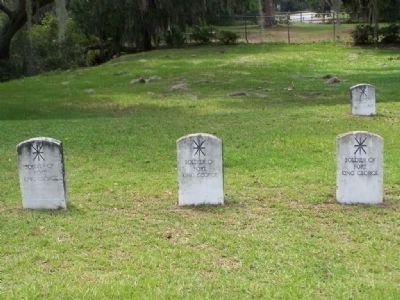
graves of seventeen British soldiers who died while in service at the fort.
Photographed By Mike Stroud, 2008
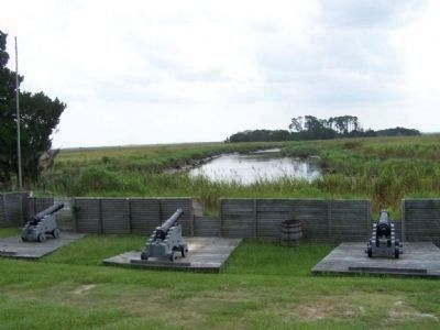
6. Fort King George
On June 29, 1940, the Georgia Department of Natural Resources acquired a tract of land along the bluffs of the Altamaha River near Darien in order to create the Fort King George State Park. It was here over two centuries earlier that Col. John Barnwell had built an English fort to defend the southern frontier
Credits. This page was last revised on October 19, 2021. It was originally submitted on October 19, 2008, by Mike Stroud of Bluffton, South Carolina. This page has been viewed 1,872 times since then and 45 times this year. Photos: 1, 2, 3, 4, 5, 6, 7. submitted on October 19, 2008, by Mike Stroud of Bluffton, South Carolina. • Kevin W. was the editor who published this page.
