Morelia, Michoacán, Mexico — The Pacific Coast (and Central Highlands)
The San José Garden
Inscription.
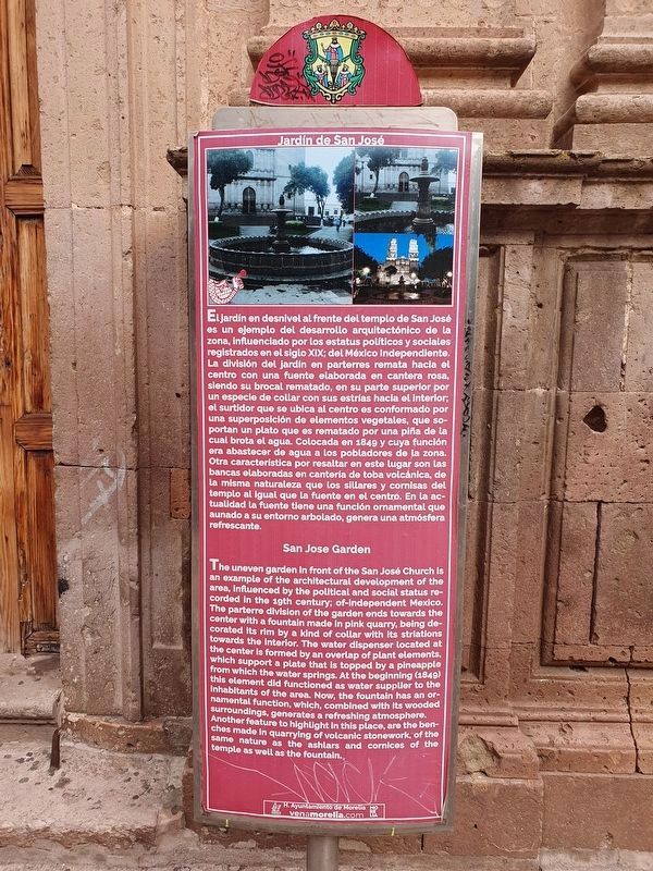
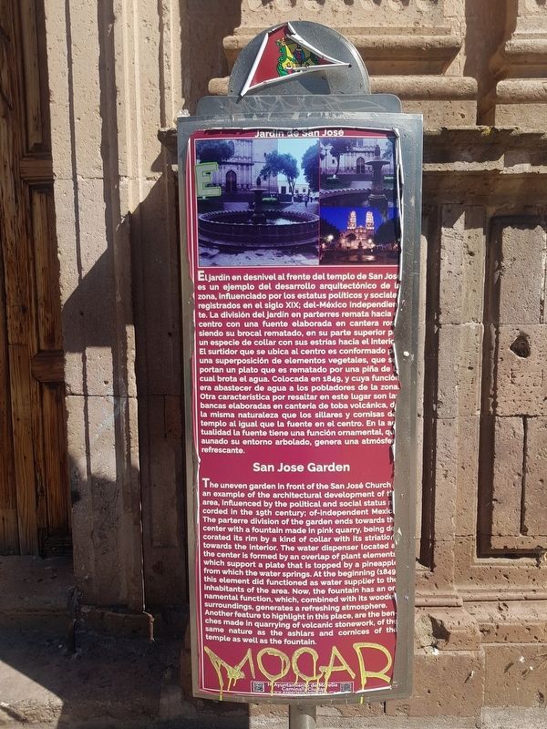
Jardín de San José
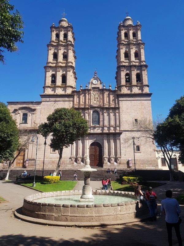
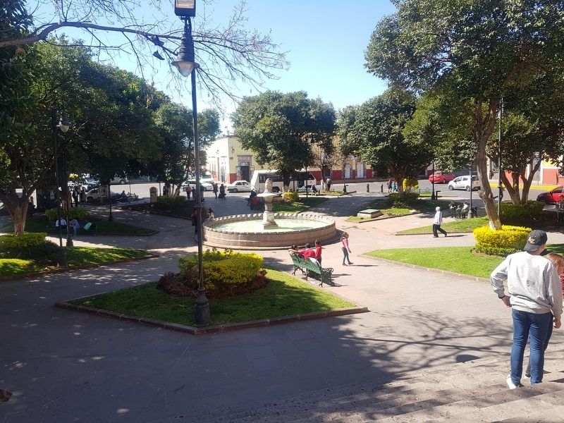
El jardín en desnivel al frente del templo de San José es un ejemplo del desarrollo arquitectónico de la zona, influenciado por los estatus políticos y sociales registrados en el siglo XIX; del México independiente. La división del jardín en parterres remata hacia el centro con una fuente elaborada en cantera rosa siendo su brocal rematado, en su parte superior por un especie de collar con sus estrías hacia el interior. El surtidor que se ubica al centro es conformado por una superposición de elementos vegetales, que sorportan un plato que es rematado por una piña de la cual brota el agua. Colocada en 1849, y cuya función era abastecer de agua a los pobladores de la zona. Otra característica por resaltar en este lugar son las bancas elaboradas en cantería de toba volcánica, de la misma naturaleza que los sillares y cornisas del templo al igual que la fuente en el centro. En la actualidad la fuente tiene una función ornamental, que aunado su entorno arbolado, genera una atmósfera refrescante.
San Jose Garden
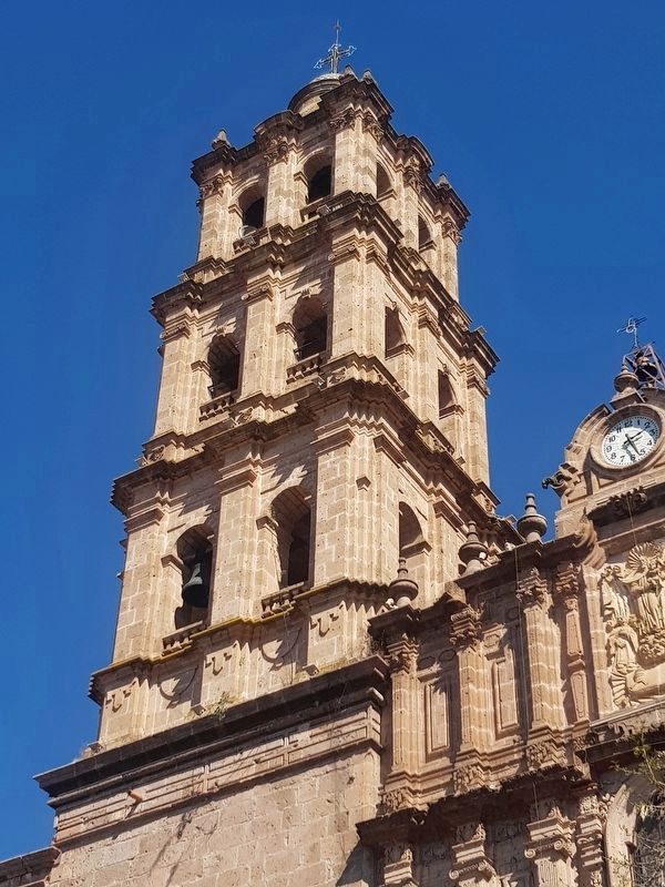
The uneven garden in front of the San José Church is an example of the architectural development of the area, influenced by the political and social status recorded in the 19th century; of-independent Mexico. The parterre division of the garden ends towards the center with a fountain made in pink quarry, being decorated its rim by a kind of collar with its striation towards the interior. The water dispenser located at the center is formed by an overlap of plant elements which support a plate that is topped by a pineapple from which the water springs. At the beginning (1849) this element did functioned as water supplier to the inhabitants of the area. Now, the fountain has an ornamental function, which, combined with its wooded surroundings, generates a refreshing atmosphere. Another feature to highlight in this place, are the benches made in quarrying of volcanic stonework, of the same nature as the ashlars and cornices of the temple as well as the fountain.
Erected by Honorable Ayuntamiento de Morelia.
Topics. This historical marker is listed in these topic lists: Churches & Religion • Colonial Era • Man-Made Features • Parks & Recreational Areas. A significant historical year for this entry is 1849.
Location. 19° 42.33′ N, 101° 11.332′ W. Marker is in Morelia, Michoacán. Marker is on Plan de Ayala just west of Abraham González, on the left when traveling west. Touch for map. Marker is in this post office area: Morelia MIC 58000, Mexico. Touch for directions.
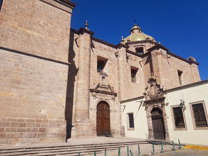
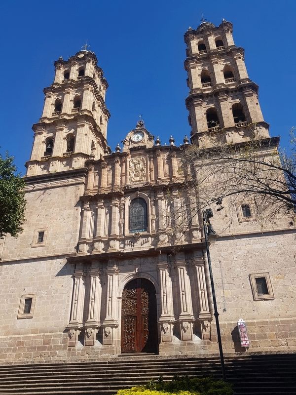
Other nearby markers. At least 8 other markers are within walking distance of this marker. Temple of San José (a few steps from this marker); Foundation of Morelia (about 210 meters away, measured in a direct line); House of the Advisor Terán (approx. 0.3 kilometers away); Del Carmen Square (approx. 0.3 kilometers away); General Santos Degollado (approx. 0.3 kilometers away); Temple of the Cross (approx. 0.3 kilometers away); Plaza de la República (approx. 0.3 kilometers away); Del Carmen Church (approx. 0.4 kilometers away). Touch for a list and map of all markers in Morelia.
Credits. This page was last revised on October 23, 2021. It was originally submitted on February 11, 2019, by J. Makali Bruton of Accra, Ghana. This page has been viewed 86 times since then and 8 times this year. Photos: 1. submitted on October 23, 2021, by J. Makali Bruton of Accra, Ghana. 2, 3, 4, 5, 6, 7. submitted on February 11, 2019, by J. Makali Bruton of Accra, Ghana.
