St. Ignace in Mackinac County, Michigan — The American Midwest (Great Lakes)
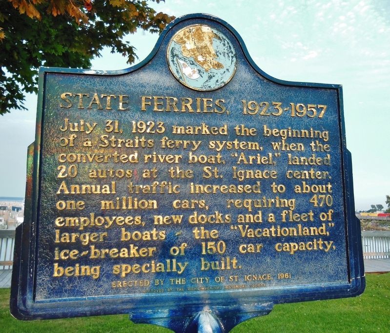
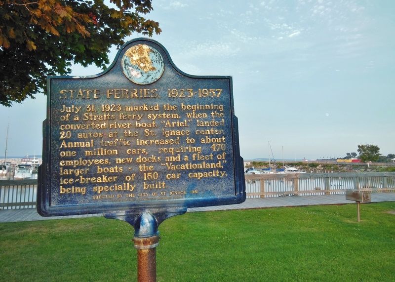
State Ferries, 1923-1957
Approved by the Michilimackinac Historical Society
Erected 1961 by City of St. Ignace and Michilimackinac Historical Society.
Topics. This historical marker is listed in these topic lists: Parks & Recreational Areas • Roads & Vehicles • Waterways & Vessels. A significant historical date for this entry is July 31, 1923.
Location. 45° 51.963′ N, 84° 43.199′ W. Marker is in St. Ignace, Michigan, in Mackinac County. Marker is on North State Street (Business Interstate 75) south of Spring Street, on the right when traveling north. Marker is located in a small grassy plaza on the east side of the highway, overlooking the St. Ignace Marina. Touch for map. Marker is in this post office area: Saint Ignace MI 49781, United States of America. Touch for directions.
Other nearby markers. At least 8 other markers are within walking distance of this marker. Heritage of Fishermen in this Area (within shouting distance of this marker); France at Mackinac (about 300 feet away, measured in a direct line); William H. Barnum (about 500 feet away); The Chief Dock Kiosk (about 800 feet away); Antique Railroad Bell (about 800 feet away); The Chief Dock (approx. 0.2 miles away); People and the Great Lakes (approx. 0.2 miles away); Mooring Facilities (approx. 0.2 miles away). Touch for a list and map of all markers in St. Ignace.
Also see . . . Ferries in Michigan. Due to its unique geography, being made of two peninsulas surrounded by the Great Lakes, Michigan has depended on many ferries for connections to transport people, vehicles and trade. Before the Mackinac Bridge was built, large numbers of ferries carried people and cars between the two peninsulas. In 1923, the state of Michigan began an auto ferry service that was the first such system to be state-owned. It continued until the day the Mackinac Bridge opened. The law required the ferry service to cease so that the bridge would not have competition and could pay off its construction bonds faster. (Submitted on February 20, 2019, by Cosmos Mariner of Cape Canaveral, Florida.)
Credits. This page was last revised on February 20, 2019. It was originally submitted on February 19, 2019, by Cosmos Mariner of Cape Canaveral, Florida. This page has been viewed 183 times since then and 15 times this year. Photos: 1, 2. submitted on February 20, 2019, by Cosmos Mariner of Cape Canaveral, Florida. • Bill Pfingsten was the editor who published this page.

