Chetumal in Othón P. Blanco, Quintana Roo, Mexico — The Yucatan Peninsula (The Southeast)
The Maya Region and the Route of the Churches
Paseo de los Héroes
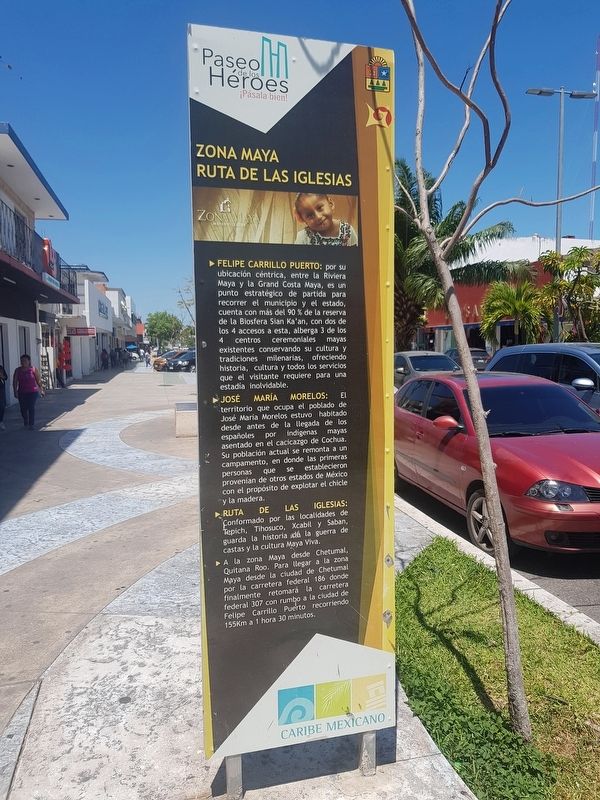
Inscription.
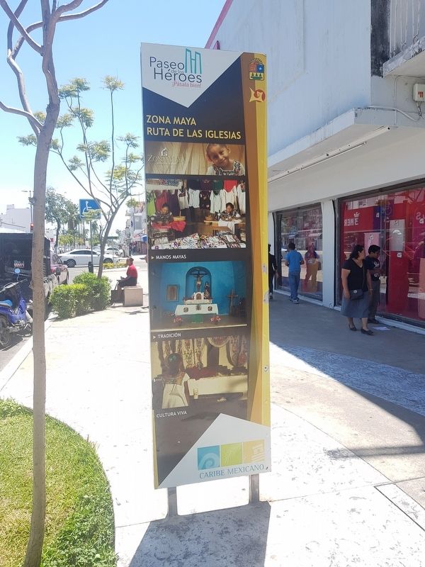
Ruta de las Iglesias
Felipe Carillo Puerto: por su ubicación céntrica, entre la Riviera Maya y la Grand Costa Maya, es un punto estratégico de partida para recorrer el municipio y el estado, cuenta con más del 90% de la reserva de la Biosfera Sian Ka'an, con dos de los 4 accesos a esta, alberga 3 de los 4 centros ceremoniales mayas existentes conservando su y tradiciones milenarias, ofreciendo historia, cultura y todos los servicios que el visitante requiere para una estadía inolvidable.
José María Morelos: El territorio que ocupa el poblado de José María Morelos estuvo habitado desde antes de la llegada de los españoles por indígenas mayas asentado en el cacicazgo de Cochua. Su población actual se remonta a un campamento, en donde las primeras personas que se establecieron provenían de otros estados de México con el propósito de explotar el chicle y la madera.
Rutas de las Iglesias: Conformado por las localidades de Tepich, Tihosuco, Xcabil y Saban, guarda la historia de la guerra de castas y la cultura Maya Viva.
A la zona Maya desde Chetumal, Quintana Roo. Para llegar a la zona Maya desde la ciudad de Chetumal por la carretera federal 186 donde finalmente retomará la carretera federal 307 con rumbo a la ciudad de Felipe Carrillo Puerto recorriendo 155 Km a 1 hora 30 minutos.
The Maya Region and the Route of the Churches
Felipe Carillo Puerto: Due to its central location between the Mayan Riviera and the Grand Costa Maya, it is a strategic point of departure to tour the municipality and the state. It includes more than 90% of the Sian Ka'an Biosphere Reserve, with two of its four access points and it also houses three of the four existing Mayan ceremonial centers, thereby conserving its millenial traditions, offering history, culture and all the services that a visitor requires for an unforgettable stay.
José María Morelos: The territory occupied by the town of José María Morelos was inhabited before the arrival of Spaniards by indigenous Maya settled in the Cochua chiefdom. Its current population dates back to a camp, where the first people who settled there came from other states of Mexico with the purpose of exploiting chewing gum and wood.
Route of the Churches: This route is made up of the localities of Tepich, Tihosuco, Xcabil and Saban, and includes much of the history of the Caste War and the present-day Maya culture.
To get to the Maya Region from
Chetumal, Quintana Roo: To get to the Maya Region from the city of Chetumal take Federal Highway 186 until it connects with Federal Highway 307 in the direction of the city of Felipe Carrillo Puerto. Total travel distance is 155 km or 1 hour and 30 minutes.
Topics. This historical marker is listed in these topic lists: Churches & Religion • Environment • Native Americans • Wars, Non-US.
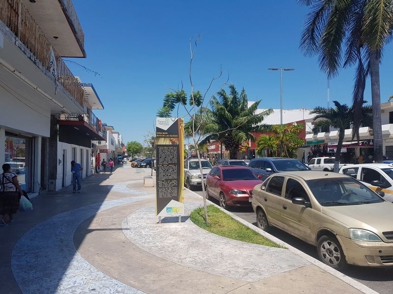
Location. 18° 29.829′ N, 88° 17.806′ W. Marker is in Chetumal, Quintana Roo, in Othón P. Blanco. Marker is on Avenida de los Héroes just south of Avenida Ignacio Zaragoza, on the right when traveling south. Touch for map. Marker is in this post office area: Chetumal QR 77000, Mexico. Touch for directions.
Other nearby markers. At least 8 other markers are within walking distance of this marker. Kiosko López (within shouting distance of this marker); Francisco I. Madero (about 90 meters away, measured in a direct line); Benito Juárez García (about 90 meters away); Hurricane Janet (about 90 meters away); Businesses of Yesteryear (about 120 meters away); Juventino Rosas Theater (about 150 meters away); José María Morelos y Pavón (about 150 meters away); Miguel Hidalgo y Costilla (about 150 meters away). Touch for a list and map of all markers in Chetumal.
Credits. This page was last revised on May 17, 2019. It was originally submitted on May 17, 2019, by J. Makali Bruton of Accra, Ghana. This page has been viewed 97 times since then and 14 times this year. Photos: 1, 2, 3. submitted on May 17, 2019, by J. Makali Bruton of Accra, Ghana.


