Rockville in Montgomery County, Maryland — The American Northeast (Mid-Atlantic)
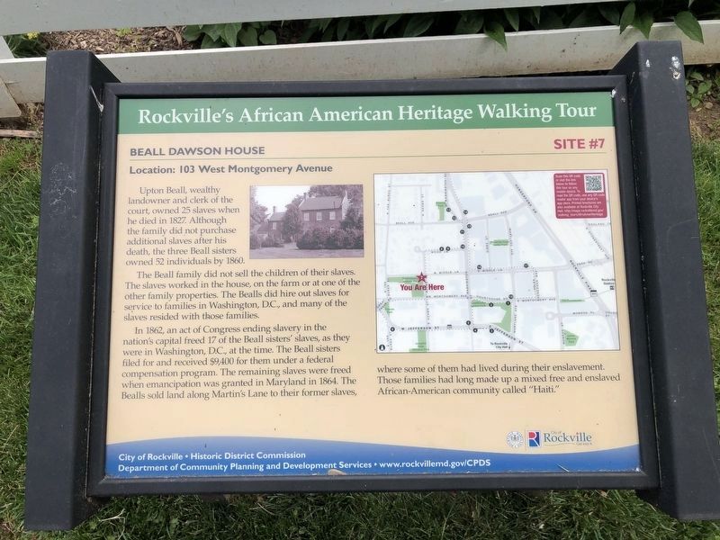
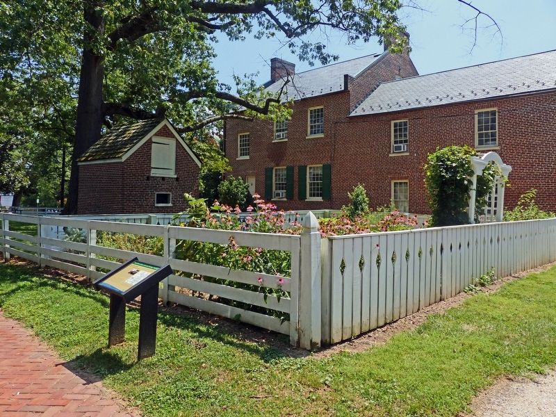
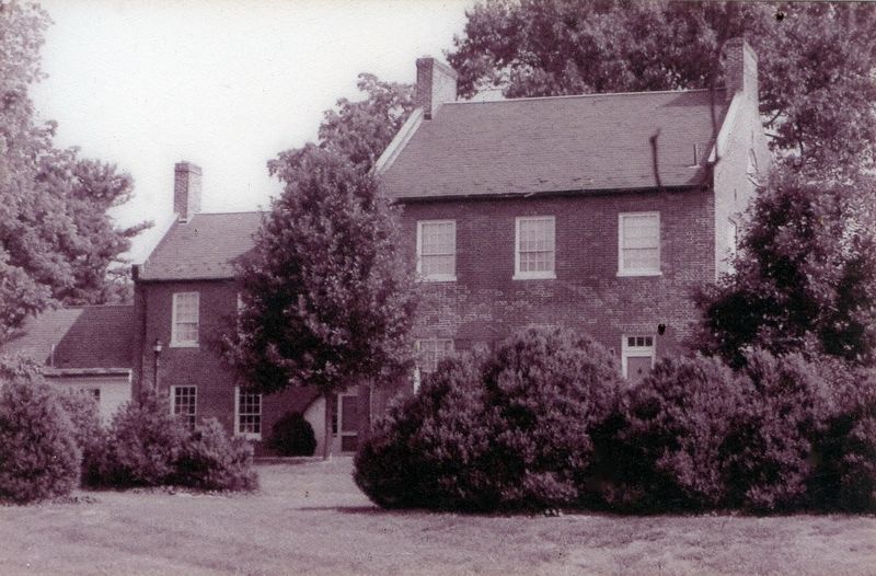
Beall Dawson House
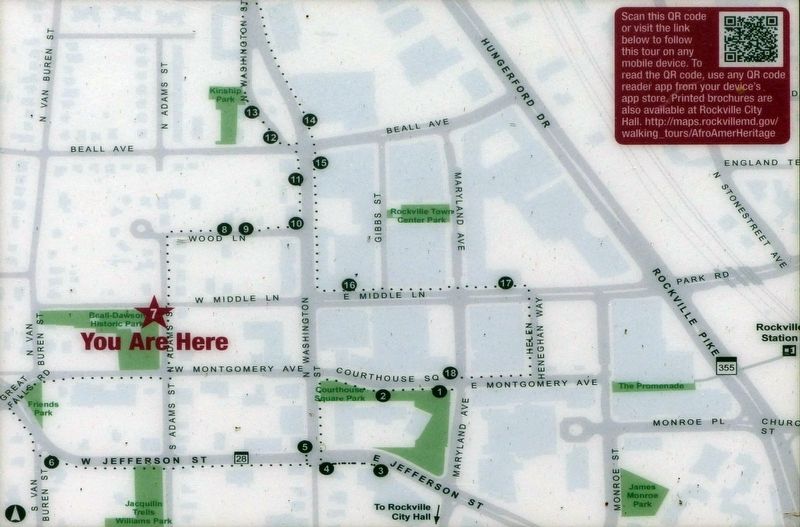
Location: 103 West Montgomery Avenue
— Rockville's African American Heritage Walking Tour —
Upton Beall, wealthy landowner and clerk of the court, owned 25 slaves when he died in 1827. Although the family did not purchase additional slaves after his death, the three Beall sisters owned 52 individuals by 1860.
The Beall family did not sell the children of their slaves. The slaves worked in the house, on the farm or at one of the other family properties. The Bealls did hire out slaves for service to families in Washington, D.C., and many of the slaves resided with those families.
In 1862, an act of Congress ending slavery in the nation's capital freed 17 of the Beall sisters' slaves, as they were in Washington, D.C., at the time. The Beall sisters filed for and received $9,400 for them under a federal compensation program. The remaining slaves were freed when emancipation was granted in Maryland in 1864. The Bealls sold land along Martin's Lane to their former slaves, where some of them had lived during their enslavement. Those families had long made up a mixed free and enslaved African-American community called "Haiti."
Erected by City of Rockville, Historic District Commission, Department of Community Planning and Development Services. (Marker Number 7.)
Topics and series. This historical marker is listed in these topic lists: Abolition & Underground RR • African Americans • Civil Rights • Settlements & Settlers. In addition, it is included in the Maryland, Rockville's African American Heritage Walking Tour series list.
Location. 39° 5.095′ N, 77° 9.324′ W. Marker is in Rockville, Maryland, in Montgomery County. Marker is on West Middle Lane just west of North Adams Street, on the left when traveling west. Touch for map. Marker is at or near this postal address: 103 W Montgomery Ave, Rockville MD 20850, United States of America. Touch for directions.
Other nearby markers. At least 8 other markers are within walking distance of this marker. Beall-Dawson House (here, next to this marker); Stonestreet Medical Museum (a few steps from this marker); Beall-Dawson House and Park (within shouting distance of this marker); Dr. Stonestreet's Office (within shouting distance of this marker); Early Rockville Residential Area (within shouting distance of this marker); Williams-Wilson House (within shouting distance of this marker); Lucy Simpson's Rockville Institute (about 300 feet away, measured in a direct line); Rockville Methodist Episcopal Church - Jerusalem Mount Pleasant United United Methodist Church (about 500 feet away). Touch for a list and map of all markers in Rockville.
Related marker. Click here for another marker that is related to this marker. This marker has replaced the linked marker.
Also see . . . Rockville African American Heritage Walking Tour (online map). URL represented by the QR code on this marker (corrected for https). This marker is #7 on the tour. (Submitted on August 9, 2019, by Allen C. Browne of Silver Spring, Maryland.)

Photographed By Allen C. Browne, August 6, 2019
4. Take a Walking Tour of Rockville's African American Heritage
Historic Rockville PDF
Click for more information.
Click for more information.
Credits. This page was last revised on April 19, 2022. It was originally submitted on August 9, 2019, by Allen C. Browne of Silver Spring, Maryland. This page has been viewed 352 times since then and 19 times this year. Photos: 1. submitted on June 6, 2021, by Devry Becker Jones of Washington, District of Columbia. 2, 3, 4. submitted on August 9, 2019, by Allen C. Browne of Silver Spring, Maryland. • Bill Pfingsten was the editor who published this page.


