Seneca in Oconee County, South Carolina — The American South (South Atlantic)
Memorial Gateway
Photographed by Brian Scott, November 28, 2008
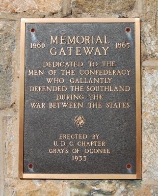
1. Memorial Gateway Marker
Gateway
1860-1865
Dedicated to the
men of the Confederacy
who gallantly
defended the southland
during the
War Between the States.
Erected 1933 by U.D.C. Chapter Grays of Oconee.
Topics and series. This historical marker is listed in these topic lists: Cemeteries & Burial Sites • Heroes • War, US Civil. In addition, it is included in the United Daughters of the Confederacy series list.
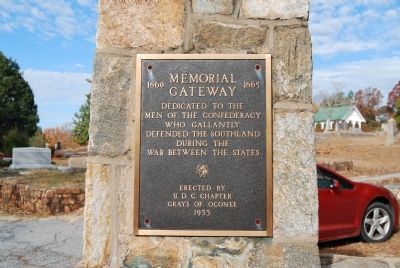
Location. 34° 41.333′ N, 82° 57.317′ W. Marker is in Seneca, South Carolina, in Oconee County. It is on North Fairplay Street, on the left when traveling north. Marker is located on the right pillar at the Fairplay Street entrance. Touch for map. Marker is in this post office area: Seneca SC 29678, United States of America. Touch for directions.

Regionally, this marker is in South Carolina’s and pstate, in the Foothills, in the Golden Corner. It is also in the American South, specifically in the Deep South, in Appalachia, and specifically in Southern Appalachia. Globally, it is in North America, the Western Hemisphere, the Western World, and
this page online
Other nearby markers. At least 10 other markers are within 4 miles of this marker, measured as the crow flies: Fairplay Community Veterans Memorial (about 700 feet away, measured in a direct line); Seneca Firsts (approx. 0.3 miles away); Seneca (approx. 0.3 miles away); Wall of Honor (approx. 0.4 miles away); Seneca Institute / Seneca Junior College (approx. 0.6 miles away); Oconee County World War Veterans (approx. 0.7 miles away); Oconee County Training School (approx. ¾ mile away); First Soil Conservation District Plan (approx. 1.1 miles away); Cane Creek Town (approx. 1.7 miles away); Newry World War II Memorial (approx. 3.7 miles away). Touch for a list and map of all markers in Seneca.
Photographed by Brian Scott, November 28, 2008
2. Memorial Gateway Marker and Pillar
Photographed by Brian Scott, November 28, 2008
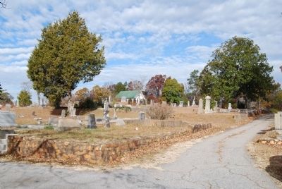
3. Seneca Cemetery
Photographed by Brian Scott, November 28, 2008
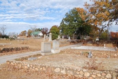
4. Seneca Cemetery
Credits. This page was last revised on June 16, 2016. It was originally submitted on November 29, 2008, by Brian Scott of Anderson, South Carolina. This page has been viewed 1,213 times since then and 32 times this year. Photos: 1, 2, 3, 4. submitted on November 29, 2008, by Brian Scott of Anderson, South Carolina.
