West Point in King William County, Virginia — The American South (Mid-Atlantic)
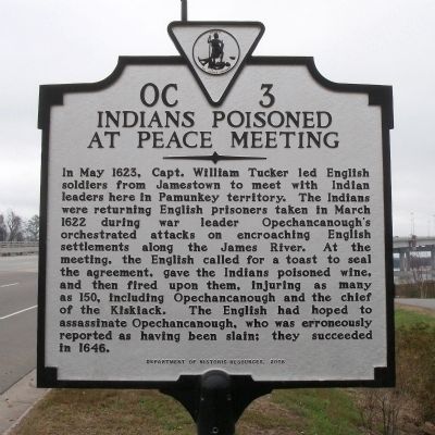
Indians Poisoned At Peace Meeting
Erected 2008 by Department of Historic Resources. (Marker Number OC-3.)
Topics and series. This historical marker is listed in these topic lists: Colonial Era • Native Americans. In addition, it is included in the Virginia Department of Historic Resources (DHR) series list. A significant historical month for this entry is March 1622.
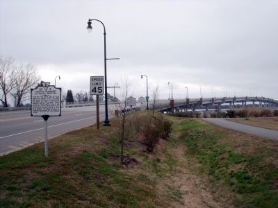
Location. 37° 32.289′ N, 76° 47.68′ W. Marker is in West Point, Virginia, in King William County. Marker is at the intersection of 14th Street (Virginia Route 33) and Chelsea Road, on the right when traveling east on 14th Street. Touch for map. Marker is in this post office area: West Point VA 23181, United States of America. Touch for directions.
Other nearby markers. At least 8 other markers are within walking distance of this marker. Indian Treaty of 1646 (within shouting distance of this marker); King William County / King and Queen County (within shouting distance of this marker); Lt. Gen. Lewis Burwell “Chesty” Puller (approx. ¼ mile away); Home of Signer (approx. 0.3 miles away); Mt. Nebo Baptist Church (approx. 0.3 miles away); The Grove Hotel (approx. 0.4 miles away); L. E. Mumford Banking Company (approx. 0.4 miles away); Col. John West II (approx. 0.6 miles away). Touch for a list and map of all markers in West Point.
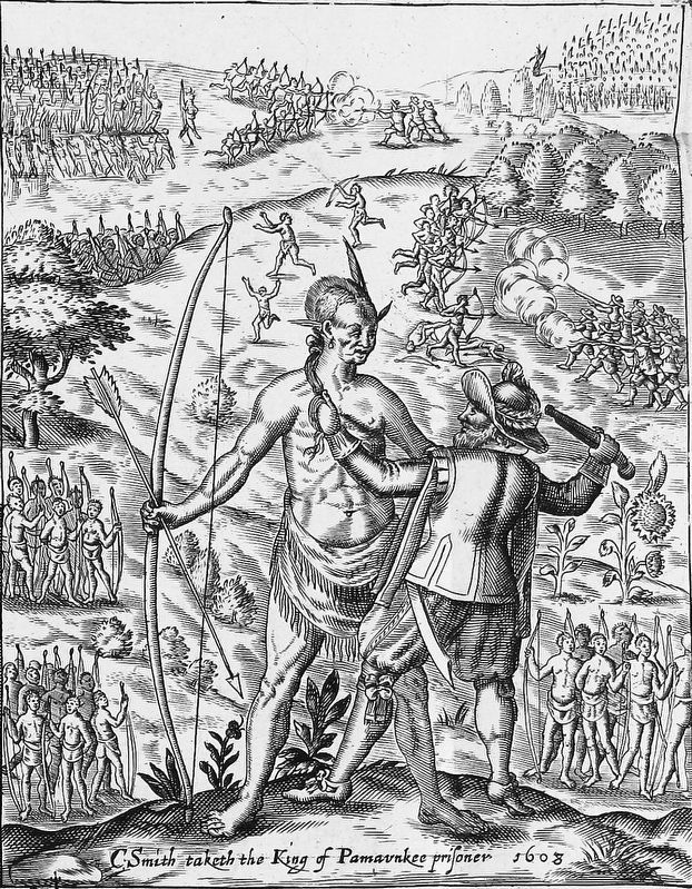
Also see . . . Wikipedia article on Opchanacanough. (Submitted on March 23, 2019, by Mark Hilton of Montgomery, Alabama.)
Credits. This page was last revised on November 13, 2023. It was originally submitted on April 3, 2009, by Bernard Fisher of Richmond, Virginia. This page has been viewed 15,611 times since then and 284 times this year. Photos: 1, 2. submitted on April 3, 2009, by Bernard Fisher of Richmond, Virginia. 3. submitted on March 23, 2019, by Mark Hilton of Montgomery, Alabama.


