Duluth in Gwinnett County, Georgia — The American South (South Atlantic)
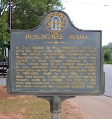
Peachtree Road
Erected 1958 by Georgia Historical Commission. (Marker Number 067-2A.)
Topics and series. This historical marker is listed in these topic lists: Native Americans • Roads & Vehicles • Wars, US Indian. In addition, it is included in the Georgia Historical Society series list. A significant historical year for this entry is 1813.
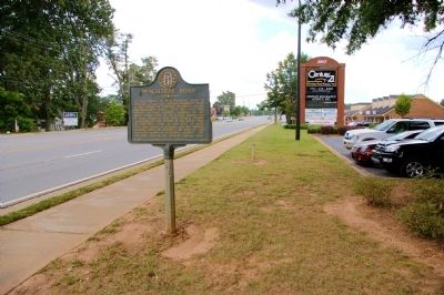
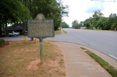
Location. 34° 0.355′ N, 84° 8.139′ W. Marker is in Duluth, Georgia, in Gwinnett County. Marker is at the intersection of Buford Highway (U.S. 23) and Thompson Drive, on the right when traveling north on Buford Highway. Touch for map. Marker is in this post office area: Duluth GA 30096, United States of America. Touch for directions.
Other nearby markers. At least 8 other markers are within 6 miles of this marker, measured as the crow flies. Home of Alice Harrell Strickland - Georgia's First Woman Mayor (approx. 0.2 miles away); Spreader #JX635 (approx. 1.6 miles away); Steam Locomotion at High Tide! (approx. 1.7 miles away); Passenger Coach No. 3780 (approx. 1.7 miles away); The History of the Miniature Train Company (approx. 1.7 miles away); State R.R. Survey (approx. 3.8 miles away); Aviation Tragedy (approx. 4.3 miles away); Suwanee, Georgia 9/11 Memorial (approx. 5.4 miles away). Touch for a list and map of all markers in Duluth.
Regarding Peachtree Road. The village of Standing Peachtree, mentioned on the marker, was located at the present-day northwest city limits of Atlanta.
Credits. This page was last revised on January 30, 2020. It was originally submitted on August 12, 2009, by David Seibert of Sandy Springs, Georgia. This page has been viewed 1,453 times since then and 31 times this year. Photos: 1, 2, 3. submitted on August 12, 2009, by David Seibert of Sandy Springs, Georgia. • Craig Swain was the editor who published this page.


