Locust Point in Baltimore, Maryland — The American Northeast (Mid-Atlantic)
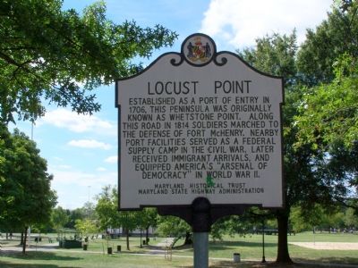
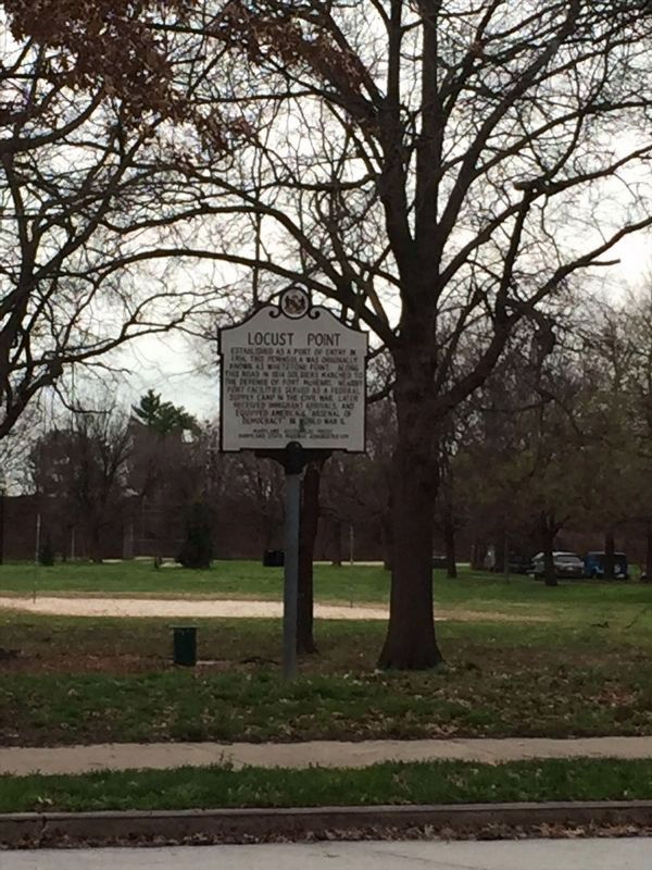
Locust Point
Erected by Maryland Historical Trust & Maryland State Highway Administration.
Topics and series. This historical marker is listed in these topic lists: Colonial Era • War of 1812 • War, US Civil • War, World II • Waterways & Vessels. In addition, it is included in the Maryland Historical Trust series list. A significant historical year for this entry is 1706.
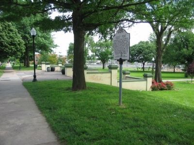
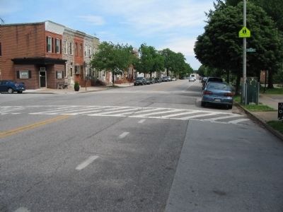
Location. 39° 16.116′ N, 76° 35.556′ W. Marker is in Baltimore, Maryland. It is in Locust Point. Marker is at the intersection of Fort Avenue and Towson Street, on the right when traveling east on Fort Avenue. Touch for map. Marker is in this post office area: Baltimore MD 21230, United States of America. Touch for directions.
Other nearby markers. At least 10 other markers are within walking distance of this marker. Honor Roll (within shouting distance of this marker); In Everlasting Recognition of Ann Shirley Doda and Victor P. Doda, Sr. (within shouting distance of this marker); Locust Point Veterans Memorial (about 400 feet away, measured in a direct line); This is Banner Field (about 600 feet away); Locust Point Immigration Depot (approx. half a mile away); Baltimore Immigration History (approx. half a mile away); Knabe Piano Factory Cupola (approx. 0.6 miles away); Working Point by David Hess (approx. 0.6 miles away); Bethlehem Steel Shipyard Crane (approx. 0.6 miles away); Hull of the Gov. R.M. McLane (approx. 0.6 miles away). Touch for a list and map of all markers in Baltimore.
Credits. This page was last revised on January 20, 2022. It was originally submitted on September 17, 2007, by Bill Pfingsten of Bel Air, Maryland. This page has been viewed 2,434 times since then and 48 times this year. Photos: 1. submitted on September 17, 2007, by Bill Pfingsten of Bel Air, Maryland. 2. submitted on May 23, 2010, by Craig Swain of Leesburg, Virginia. 3. submitted on January 16, 2022, by Adam Margolis of Mission Viejo, California. 4. submitted on May 23, 2010, by Craig Swain of Leesburg, Virginia. • J. J. Prats was the editor who published this page.


