Near Smithfield in Isle of Wight County, Virginia — The American South (Mid-Atlantic)
Fort Boykin
True Southerners Do and Dare
— The 1862 Peninsula Campaign —
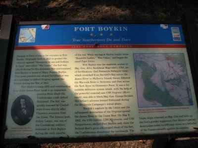
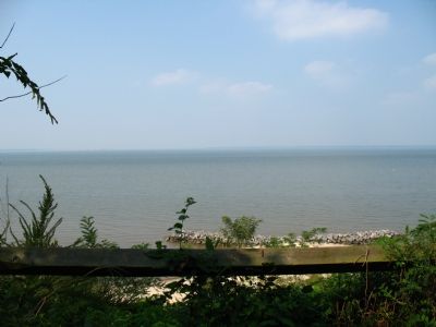
Fort Boykin’s steep cliffs and commanding view of the James River made it an important position from which the Confederates could defend Richmond. The fort was quickly manned by Confederate forces shortly after Virginia’s secession from the Union. The famous poet, Sidney Lanier, was one of the Confederate soldiers stationed at Fort Boykin during the early months of the war. While serving at Boykin Lanier wrote “Beautiful Ladies,” “Hoe Cakes,” and began the novel Tiger Lilies.
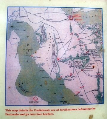
Fort Boykin was the south side anchor of Maj. Gen. John Bankhead Magruder’s, CSA, arc of fortifications(2nd Peninsula Defensive Line) which stretched from Burwell’s Bay across the James River to Mulberry Island; thence followed the Warwick River to Yorktown and then across the York River to Gloucester Point. It was a formidable defensive system which, with the help of the powerful ironclad ram CSS Virginia (Merrimack), was able to block Maj. Gen. George Brinton McClellan’s advance toward Richmond during the Peninsula Campaign’s initial phase.
Norfolk’s capture by the Union and the subsequent destruction of the Virginia opened the James River to the Union fleet. On May 8, 1862, the USS Galena, USS Minnesota, and USS Susquehanna shelled Fort Boykin and, since the Federal fleet’s guns out-ranged those of the fort, the Confederates abandoned the earthwork. The Union ships returned on May 17th and blew up the fort’s powder magazines. Fort Boykin’s partial destruction ended its 239-year career as a defender of the Commonwealth against its enemies.
(captions)
Sidney Lanier, "the Poet Laureate of the Confederacy." Courtesy of Library of Virginia.
This map details the Confederate arc of fortifications defending the Peninsula and its two river borders.
Erected by Virginia Civil War Trails.
Topics and series. This historical marker is listed in these topic lists: Colonial Era • Forts and Castles • War of 1812 • War, US Civil • Waterways & Vessels. In addition, it is included in the Virginia Civil War Trails series list. A significant historical date for this entry is May 8, 1862.
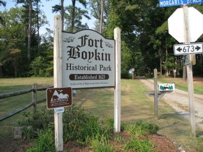
Location. 37° 2.036′ N, 76° 37.063′ W. Marker is near Smithfield, Virginia, in Isle of Wight County. Marker can be reached from the intersection of Fort Boykin Trail (Virginia Route 705) and Mogarts Beach Road (Virginia Route 673), on the left when traveling north. Touch for map. Marker is at or near this postal address: 7410 Fort Boykin Trail, Smithfield VA 23430, United States of America. Touch for directions.
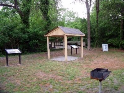
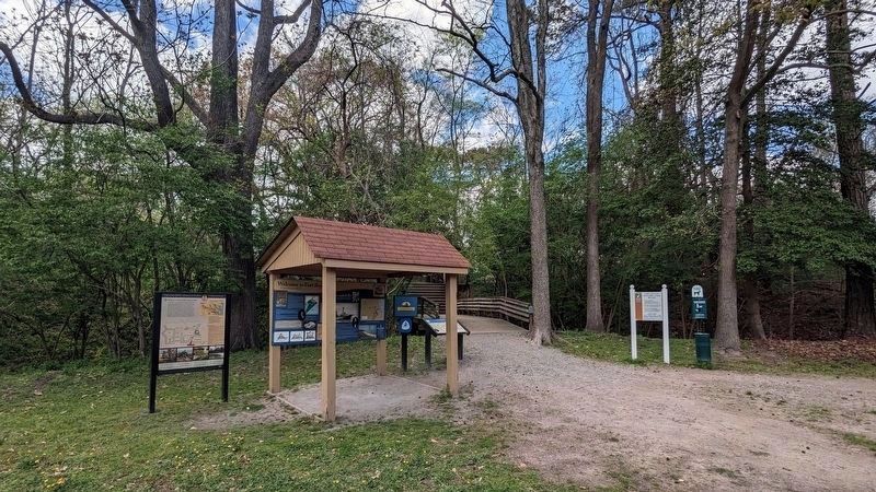
Other nearby markers. At least 8 other markers are within walking distance of this marker. Welcome to Fort Boykin (here, next to this marker); Welcome to Fort Boykin Historic Park (a few steps from this marker); Fort Boykin Memorial (within shouting distance of this marker); Camp Eustis Attacks Fort Boykin (within shouting distance of this marker); The Well (within shouting distance of this marker); The Fort's Last Private Owners (about 300 feet away, measured in a direct line); Fort Boykin during the Civil War (about 600 feet away); The Historic James and its Tributaries (about 800 feet away). Touch for a list and map of all markers in Smithfield.
Also see . . . Fort Boykin. Isle of Wight County Museum (Submitted on March 22, 2024.)
Credits. This page was last revised on April 7, 2024. It was originally submitted on September 24, 2007, by Laura Troy of Burke, Virginia. This page has been viewed 1,993 times since then and 55 times this year. Photos: 1. submitted on September 24, 2007, by Laura Troy of Burke, Virginia. 2, 3. submitted on May 4, 2009, by Bernard Fisher of Richmond, Virginia. 4. submitted on April 5, 2024, by Bernard Fisher of Richmond, Virginia. 5, 6, 7. submitted on September 24, 2007, by Laura Troy of Burke, Virginia. • J. J. Prats was the editor who published this page.
