Lufkin in Angelina County, Texas — The American South (West South Central)
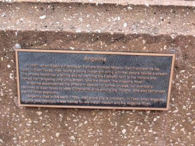
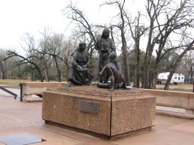
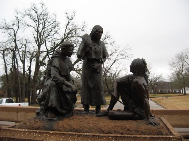
Angelina
Angelina accompanied the priests to Mexico for further studies, but eventually returned to East Texas to keep Christianity alive among the Indians. She also befriended early French explorers.
Angelina died in the early 1700s. Her grave site is unknown. In 1846, when Angelina County was formed, it was named for the Indian maiden and the Angelina River.
Topics. This historical marker is listed in these topic lists: Churches & Religion • Colonial Era • Native Americans • Women. A significant historical year for this entry is 1690.
Location. 31° 20.615′ N, 94° 43.559′ W. Marker is in Lufkin, Texas, in Angelina County. Marker is at the intersection of North Second Street and Howe Avenue on North Second Street. Located at the front entrance to the Pitzner Garrison Civic Center. Touch for map. Marker is at or near this postal address: 601 N Second Street, Lufkin TX 75901, United States of America. Touch for directions.
Other nearby markers. At least 8 other markers are within walking distance of this marker. Original site of St. Cyprian's Episcopal Church (about 300 feet away, measured in a direct line); First Baptist Church of Lufkin (approx. 0.2 miles away); Mantooth Farm (approx. ¼ mile away); Lufkin Telephone Exchange (approx. ¼ mile away); Kerr's Inc. (approx. 0.4 miles away); Site of Rehearsal Hall for The Hoo Hoo Band (approx. 0.4 miles away); Site of Martin Wagon Company (approx. 0.4 miles away); Calder (Cotton) Square (approx. 0.4 miles away). Touch for a list and map of all markers in Lufkin.
Credits. This page was last revised on December 18, 2019. It was originally submitted on February 7, 2010, by Steve Gustafson of Lufkin, Texas. This page has been viewed 1,964 times since then and 61 times this year. Photos: 1, 2, 3. submitted on February 7, 2010, by Steve Gustafson of Lufkin, Texas. • Kevin W. was the editor who published this page.


