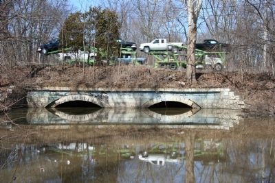
Texas in Henry County, Ohio — The American Midwest (Great Lakes)
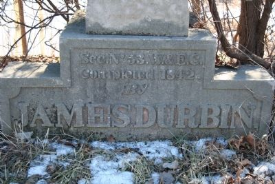
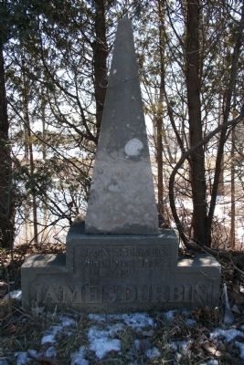
James Durbin
Completed 1842
By
James Durbin
Topics and series. This historical marker is listed in these topic lists: Notable Events • Waterways & Vessels. In addition, it is included in the Wabash & Erie Canal series list. A significant historical year for this entry is 1842.
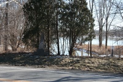
Location. 41° 25.412′ N, 83° 56.794′ W. Marker is in Texas, Ohio, in Henry County. Marker is at the intersection of U.S. 24 and County Route 4, on the left when traveling west on U.S. 24. Touch for map. Marker is in this post office area: Liberty Center OH 43532, United States of America. Touch for directions.
Other nearby markers. At least 8 other markers are within 4 miles of this marker, measured as the crow flies. Texas Veterans Memorial (approx. half a mile away); Laskey Family Hickory Grove (approx. 1.7 miles away); Site of Rice Lock 42 (approx. 2 miles away); Lock 43 (approx. 2.4 miles away); Olive Branch Cemetery (approx. 3 miles away); Lest We Forget (approx. 3.1 miles away); Fredrick Steward Memorial Park (approx. 3.3 miles away); Liberty Center (approx. 3.3 miles away).
More about this marker. When the text of this historical states that Sec. No. 53 W.&E.C. completed 1842, it means that Section Number 53 of the Wabash & Erie Canal was completed in 1842 by James Durbin.
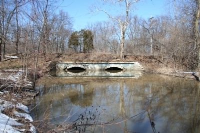
In a book written by Jack Gieck about Ohio's canal era, he states the following: "That at least one contractor took great pride in such structures is evidenced by the monument that James Durbin erected to himself above the site of this Bad Creek Culvert near Texas, Ohio."
In addition, the driving tour of Henry County adds the following insights, "Village of Texas, platted 1845 by James Durbin. Canal-era Homes & Businesses still standing. Sandstone Bad Creek Culvert (at Durbin Monument) allowed canal water (now US 24) to flow over creek."
Credits. This page was last revised on August 5, 2021. It was originally submitted on March 14, 2010, by Dale K. Benington of Toledo, Ohio. This page has been viewed 1,411 times since then and 23 times this year. Photos: 1, 2, 3, 4, 5. submitted on March 14, 2010, by Dale K. Benington of Toledo, Ohio. • Syd Whittle was the editor who published this page.
