Galivants Ferry in Horry County, South Carolina — The American South (South Atlantic)
Galivants Ferry
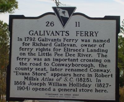
In 1792 Galivants Ferry was named for Richard Gallevan, owner of ferry rights for Elirsee's Landing on the Little Pee Dee River. The ferry was an important crossing on the road to Conwayborough, the county seat, later renamed Conway. "Evans Store" appears here in Robert Mills's Atlas of S.C. (1825). In 1869 Joseph William Holliday (1827-1904) opened a general store here.
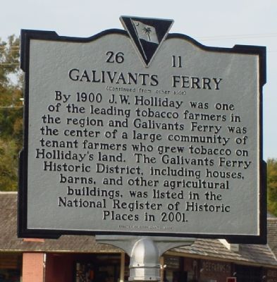
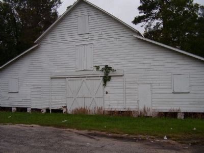
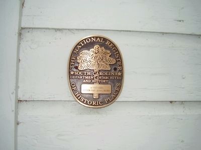
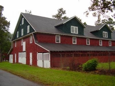
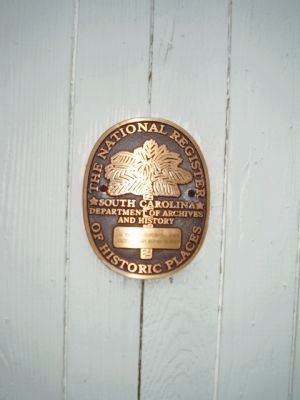
By 1900 J.W. Holliday was one of the leading tobacco farmers in the region and Galivants Ferry was the center of a large community of tenant farmers who grew tobacco on Holliday's land. The Galivants Ferry Historic District, including houses, barns, and other agricultural buildings, was listed in the National Register of Historic Places in 2001.
Erected 2004 by Horry County. (Marker Number 26 11.)
Topics. This historical marker is listed in these topic lists: Agriculture • Roads & Vehicles • Waterways & Vessels. A significant historical year for this entry is 1792.
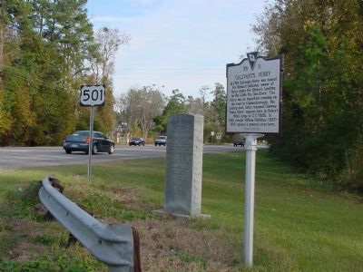
Location. 34° 3.309′ N, 79° 14.694′ W. Marker is in Galivants Ferry, South Carolina, in Horry County. Marker is at the intersection of Highway 501 (U.S. 501) and South Carolina Highway 216, on the right when traveling south on Highway 501. Touch for map. Marker is in this post office area: Galivants Ferry SC 29544, United States of America. Touch for directions.
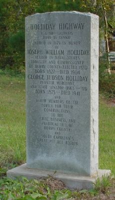
Other nearby markers. At least 5 other markers are within 11 miles of this marker, measured as the crow flies. Holliday Highway (here, next to this marker); Galivants Ferry Stump Meeting (about 500 feet away, measured in a direct line); Levister Elementary School (approx. 5.1 miles away); Mullins Depot / Mullins (approx. 10.4 miles away); Tobacco Culture (approx. 10.4 miles away). Touch for a list and map of all markers in Galivants Ferry.
Also see . . .
1. Galivants Ferry Historic District. National Register of Historic Places Nomination Form (Submitted on June 1, 2022, by Larry Gertner of New York, New York.)
2. Galivants Ferry Stump Meeting. South Carolina Encyclopedia website entry:
The Holliday property is festive with balloons, political flyers, entertainment, and chicken bog (a low-country peppery disk similar to jambalaya) while Democrats give speeches. Occurs every other year to kick off the Democratic campaign. Republicans also welcome. (Submitted on January 28, 2006.)
Credits. This page was last revised on March 18, 2024. It was originally submitted on November 29, 2005. This page has been viewed 3,118 times since then and 93 times this year. Photos: 1, 2, 3. submitted on November 29, 2005. 4, 5, 6, 7. submitted on October 25, 2009, by Stanley and Terrie Howard of Greer, South Carolina. 8. submitted on November 29, 2005.
