Croom in Prince George's County, Maryland — The American Northeast (Mid-Atlantic)
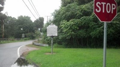
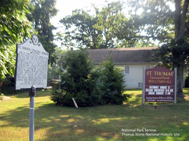
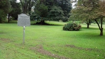
St. Simon's Episcopal Mission
Erected by Maryland Historical Trust, Maryland State Highway Administration.
Topics. This historical marker is listed in these topic lists: African Americans • Churches & Religion • Civil Rights • Industry & Commerce • War, US Civil • Women. A significant historical year for this entry is 1892.
Location. 38° 44.923′ N, 76° 45.602′ W. Marker is in Croom, Maryland, in Prince George's County. Marker is at the intersection of Croom Road (Maryland Route 382) and St. Thomas Church Road, on the left when traveling south on Croom Road. Touch for map. Marker is in this post office area: Upper Marlboro MD 20772, United States of America. Touch for directions.
Other nearby markers. At least 8 other markers are within 3 miles of this marker, measured as the crow flies. Enemy Bluff (about 300 feet away, measured in a direct line); St. Thomas' Parish Church (about 300 feet away); Bishop Thomas John Claggett (about 600 feet away); St. Simon's Mission, 1896 (approx. 0.2 miles away); Croom (approx. ¾ mile away); Bellefields (approx. 0.9 miles away); Shaded Reprieve (approx. 2½ miles away); Eastern Bluebird (approx. 2.7 miles away). Touch for a list and map of all markers in Croom.
Also see . . . St. Simon's Episcopal Church Site and Cemetery, Maryland Inventory of Historic Properties. (Submitted on August 11, 2019.)
Credits. This page was last revised on November 22, 2019. It was originally submitted on November 17, 2007, by F. Robby of Baltimore, Maryland. This page has been viewed 1,572 times since then and 15 times this year. Photos: 1. submitted on November 17, 2007, by F. Robby of Baltimore, Maryland. 2. submitted on September 7, 2013, by F. Robby of Baltimore, Maryland. 3. submitted on August 11, 2019. 4. submitted on September 7, 2013, by F. Robby of Baltimore, Maryland.


