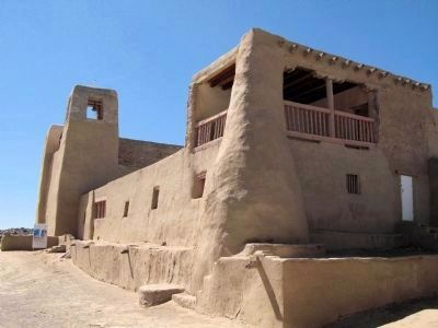
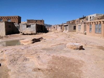
Near Cubero in Cibola County, New Mexico — The American Mountains (Southwest)
Pueblo of Ácoma
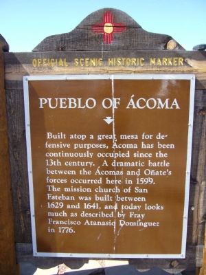
Built atop a great mesa for defensive purposes, Ácoma has been continuously occupied since the 13th century. A dramatic battle between the Ácomas and Oñate's forces occurred here in 1599. The mission church of San Esteban was built between 1629 and 1641, and today looks much as described by Fray Francisco Atanasio Dominquez in 1776.
Topics. This historical marker is listed in these topic lists: Churches & Religion • Colonial Era • Hispanic Americans • Native Americans. A significant historical year for this entry is 1599.
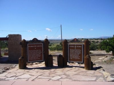
Location. 35° 4.343′ N, 107° 33.301′ W. Marker is near Cubero, New Mexico, in Cibola County. Marker can be reached from Indian Service Route 30 near Interstate 40. Marker is located at the rest area just south of I-40 exit 102. Touch for map. Marker is in this post office area: Cubero NM 87014, United States of America. Touch for directions.
Other nearby markers. At least 8 other markers are within 11 miles of this marker, measured as the crow flies. Pueblo of Laguna (here, next to this marker); Old Acoma "Sky City" (approx. 0.3 miles away); The Battle of Khe Sanh Vietnam, 1968 (approx. 2.8 miles away); a different marker also named Old Acoma "Sky City" (approx. 9.6 miles away); a different marker also named Pueblo of Laguna (approx. 10.2 miles away); a different marker also named Pueblo of Laguna (approx. 10.2 miles away); San José De La Laguna Mission (approx. 10.2 miles away); a different marker also named San José De La Laguna Mission (approx. 10.2 miles away). Touch for a list and map of all markers in Cubero.
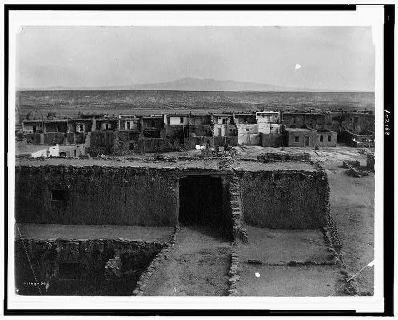
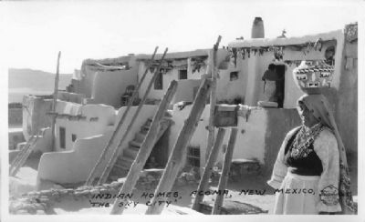
via Prints and Photographs Division. Library of Congress, 1904
8. View of Ácoma pueblo, Ácoma, New Mexico, and distant horizon.
Pueblo Indian Revolt of 1680. Library of Congress entry:
A 1599 rebellion in Ácoma was the predecessor to the Pueblo Indian Revolt of 1680.
Click for more information.
A 1599 rebellion in Ácoma was the predecessor to the Pueblo Indian Revolt of 1680.
Click for more information.
Credits. This page was last revised on November 1, 2021. It was originally submitted on October 4, 2010, by Bill Kirchner of Tucson, Arizona. This page has been viewed 1,107 times since then and 29 times this year. Photos: 1, 2, 3. submitted on October 4, 2010, by Bill Kirchner of Tucson, Arizona. 4. submitted on October 12, 2010. 5, 6, 7. submitted on May 12, 2014, by Richard Denney of Austin, Texas. 8. submitted on November 1, 2021, by Larry Gertner of New York, New York. • Syd Whittle was the editor who published this page.
