Mahwah in Bergen County, New Jersey — The American Northeast (Mid-Atlantic)
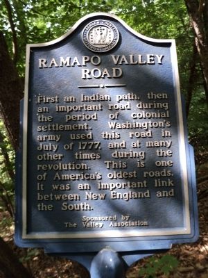
Ramapo Valley Road
First an Indian path, then an important road during the period of colonial settlement. Washington’s army used this road in July 1777, and at many other times during the revolution. This is one of America’s oldest roads. It was an important link between New England and the South.
The Valley Association
Erected by Bergen County Historical Society. (Marker Number 24.)
Topics and series. This historical marker is listed in these topic lists: Colonial Era • Native Americans • Roads & Vehicles • War, US Revolutionary. In addition, it is included in the New Jersey, Bergen County Historical Society series list. A significant historical month for this entry is July 1777.
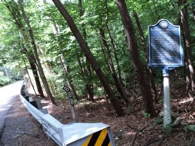
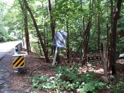
Location. 41° 3.999′ N, 74° 12.324′ W. Marker is in Mahwah, New Jersey, in Bergen County. Marker is on Ramapo Valley Road (U.S. 202) 0.3 miles north of Bear Swamp Road, on the right when traveling south. Touch for map. Marker is at or near this postal address: 888 Ramapo Valley Road, Mahwah NJ 07430, United States of America. Touch for directions.
Other nearby markers. At least 8 other markers are within 3 miles of this marker, measured as the crow flies. The Cleveland Bridge (approx. 0.2 miles away); The Winter Farmhouse (approx. 0.4 miles away); Dellbrook Estate, Baldwin Residence (approx. 1.1 miles away); A.B. Darling Mansion (approx. 1.2 miles away); Darlington Schoolhouse — Havemeyer Hall (approx. 1.4 miles away); The Hamlet of Darlington (approx. 1.4 miles away); Laroe-Van Horn House (approx. 2.3 miles away); David Van Gelder House (approx. 2.7 miles away). Touch for a list and map of all markers in Mahwah.
Also see . . . Bergen County Historical Society. Society website homepage (Submitted on June 26, 2011, by Bill Coughlin of Woodland Park, New Jersey.)
Credits. This page was last revised on December 17, 2021. It was originally submitted on June 26, 2011, by Bill Coughlin of Woodland Park, New Jersey. This page has been viewed 1,194 times since then and 29 times this year. Photos: 1, 2, 3, 4. submitted on June 26, 2011, by Bill Coughlin of Woodland Park, New Jersey.


