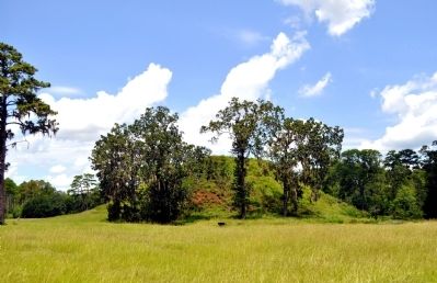
Near Blakely in Early County, Georgia — The American South (South Atlantic)
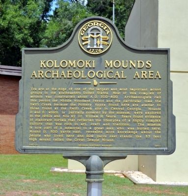
Kolomoki Mounds Archaeological Area
You are at the edge of one of the largest and most important mound groups in the southeastern United States. Most of this complex of mounds was constructed about A. D. 200-600. Archaeologists call this period the Middle Woodland Period and the particular time the Swift Creek because the Pottery types found here are similar to those found at the Swift Creek site in Central Georgia. Mounds D and E, which is partially covered by the museum, were explored in the 1940s and 50s by Dr. William H. Sears. Sears found evidence of elaborate burials that reflected the lifestyles of a highly complex culture that was rich in art, craft and tradition. The museum is now part of a memorial to a great man who was buried here. Mound D, 500 yards east, revealed more knowledge about the people who lived here and 800 yards east stands the 57 feet high mound called the Great Temple Mound.
Erected 2001 by Georgia Department of Natural Resources. (Marker Number 049-10.)
Topics and series. This historical marker is listed in these topic lists: Anthropology & Archaeology • Cemeteries & Burial Sites • Native Americans. In addition, it is included in the Georgia Historical Society series list.
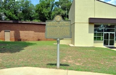
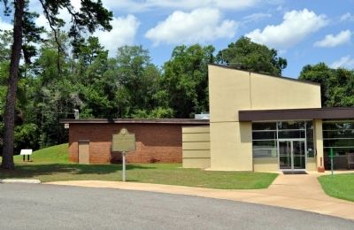
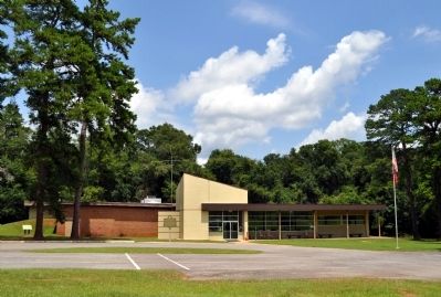
Location. 31° 28.088′ N, 84° 56.899′ W. Marker is near Blakely, Georgia, in Early County. Marker is on Indian Mounds Road, ¼ mile east of Georgia Route 1940, on the left when traveling east. The marker stands in front of the Visitors Center / Museum at the Kolomoki Mounds Historic Park, a Georgia State Park. Touch for map. Marker is at or near this postal address: 205 Indian Mounds Road, Blakely GA 39823, United States of America. Touch for directions.
Other nearby markers. At least 8 other markers are within 7 miles of this marker, measured as the crow flies. Three Notch Trail (approx. 3.4 miles away); Kolomoki Mounds State Park 4 mi. (approx. 4.3 miles away); The Lord's Acre (approx. 6 miles away); Confederate Flag Pole (approx. 6.3 miles away); Confederate Dead (approx. 6.3 miles away); Early County Peanut Monument (approx. 6.3 miles away); Early County (approx. 6.3 miles away); Weston C. Lee Veterans Memorial Park (approx. 6.4 miles away). Touch for a list and map of all markers in Blakely.
More about this marker. This marker replaced an earlier marker erected by the Georgia Historical Commission titled "The Kolomoki Indian Mounds" with the same number but substantially different text.
Also see . . .
1. Kolomoki Mounds Historic Park. Georgia State Parks and Historic Sites website entry (Submitted on October 18, 2011, by David Seibert of Sandy Springs, Georgia.)
2. Kolomoki Mounds. New Georgia Encyclopedia's website entry (Submitted on October 18, 2011, by David Seibert of Sandy Springs, Georgia.)
3. Kolomoki Mounds. The Wikipedia article on Kolomoki Mounds also mentions the theft from the museum in 1974. In March of that year the museum was burglarized, and every single artifact on display, more than 129 pieces, was stolen. Fewer than half have ever been recovered. (Submitted on October 18, 2011, by David Seibert of Sandy Springs, Georgia.)
Additional keywords. Museums
Credits. This page was last revised on October 27, 2021. It was originally submitted on October 13, 2011, by David Seibert of Sandy Springs, Georgia. This page has been viewed 1,808 times since then and 169 times this year. Photos: 1, 2, 3, 4, 5. submitted on October 13, 2011, by David Seibert of Sandy Springs, Georgia. • Craig Swain was the editor who published this page.
