Near Blakely in Early County, Georgia — The American South (South Atlantic)
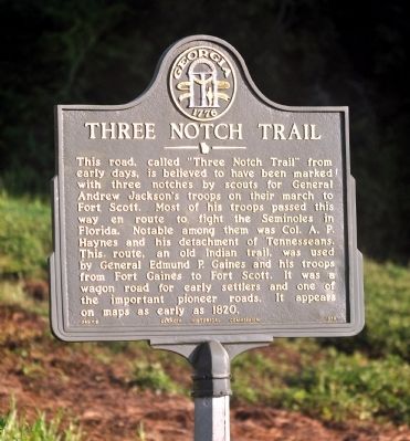
Three Notch Trail
Erected 1958 by Georgia Historical Commission. (Marker Number 049-5.)
Topics and series. This historical marker is listed in these topic lists: Native Americans • Roads & Vehicles • Wars, US Indian. In addition, it is included in the Former U.S. Presidents: #07 Andrew Jackson, and the Georgia Historical Society series lists. A significant historical year for this entry is 1820.
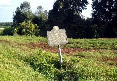
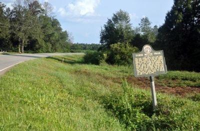
Location. 31° 25.266′ N, 84° 57.822′ W. Marker is near Blakely, Georgia, in Early County. Marker is on Fort Gaines Highway (Georgia Route 39) 4 miles north of Martin Luther King Jr. Boulevard (Georgia Route 62), on the left when traveling north. Touch for map. Marker is in this post office area: Blakely GA 39823, United States of America. Touch for directions.
Other nearby markers. At least 8 other markers are within 8 miles of this marker, measured as the crow flies. Kolomoki Mounds State Park 4 mi. (approx. 2.3 miles away); Kolomoki Mounds Archaeological Area (approx. 3.4 miles away); Confederate Flag Pole (approx. 3˝ miles away); Confederate Dead (approx. 3˝ miles away); Early County Peanut Monument (approx. 3˝ miles away); Early County (approx. 3˝ miles away); a different marker also named Three Notch Trail (approx. 5.1 miles away); Captain Dennis Harrison Zorn / Zornville (approx. 7.6 miles away in Alabama). Touch for a list and map of all markers in Blakely.
Credits. This page was last revised on June 16, 2016. It was originally submitted on October 15, 2011, by David Seibert of Sandy Springs, Georgia. This page has been viewed 1,577 times since then and 81 times this year. Photos: 1, 2, 3. submitted on October 15, 2011, by David Seibert of Sandy Springs, Georgia. • Craig Swain was the editor who published this page.


