Akron in Summit County, Ohio — The American Midwest (Great Lakes)
Portage Path North Terminus
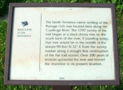
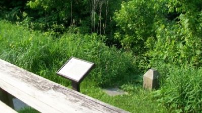
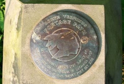
The North Terminus canoe landing of the Portage Path was located here along the Cuyahoga River. The 1797 survey of the trail began at a black cherry tree on the south bank of the river. If standing today, that tree would be in the middle of the stream 90 feet N 32o E from the survey marker along a straight line continuation of the flat trail stones. Over 200 years of erosion uprooted the tree and moved the shoreline to its present location.
Erected 2002.
Topics. This historical marker is listed in these topic lists: Native Americans • Roads & Vehicles • Settlements & Settlers • Waterways & Vessels. A significant historical year for this entry is 1797.
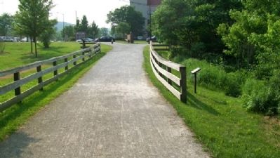
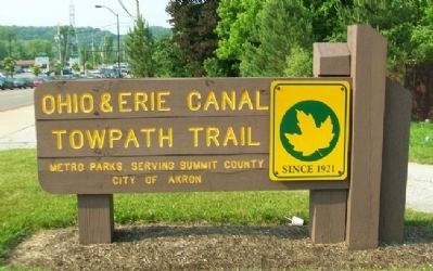
Location. 41° 7.992′ N, 81° 32.869′ W. Marker is in Akron, Ohio, in Summit County. Marker is along the Ohio & Erie Canal Towpath Trail, near the Portage Path North Terminus Memorial Park at Portage Path and Merriman Road. Touch for map. Marker is in this post office area: Akron OH 44313, United States of America. Touch for directions.
Other nearby markers. At least 8 other markers are within 2 miles of this marker, measured as the crow flies. The Old Portage Path (a few steps from this marker); The Portage Path Connected Lake Erie with the Ohio River (a few steps from this marker); 1797 Portage Path Survey (within shouting distance of this marker); Yeck Family Portage Path North Terminus Memorial (within shouting distance of this marker); Treaty of Fort McIntosh Boundary Line (approx. 0.4 miles away); The Gate Lodge, Stan Hywet Hall & Gardens (approx. 1.1 miles away); Astronaut Judith Resnik (approx. 1.4 miles away); Chestnut Hill Veterans Memorial Garden (approx. 1˝ miles away). Touch for a list and map of all markers in Akron.
Also see . . .
1. Portage Path. (Submitted on October 26, 2011, by William Fischer, Jr. of Scranton, Pennsylvania.)
2. Ohio & Erie Canal Towpath Trail. (Submitted on October 26, 2011, by William Fischer, Jr. of Scranton, Pennsylvania.)
Credits. This page was last revised on June 16, 2016. It was originally submitted on October 26, 2011, by William Fischer, Jr. of Scranton, Pennsylvania. This page has been viewed 1,037 times since then and 48 times this year. Photos: 1, 2, 3, 4, 5. submitted on October 26, 2011, by William Fischer, Jr. of Scranton, Pennsylvania.
