Near Hemet in Riverside County, California — The American West (Pacific Coastal)
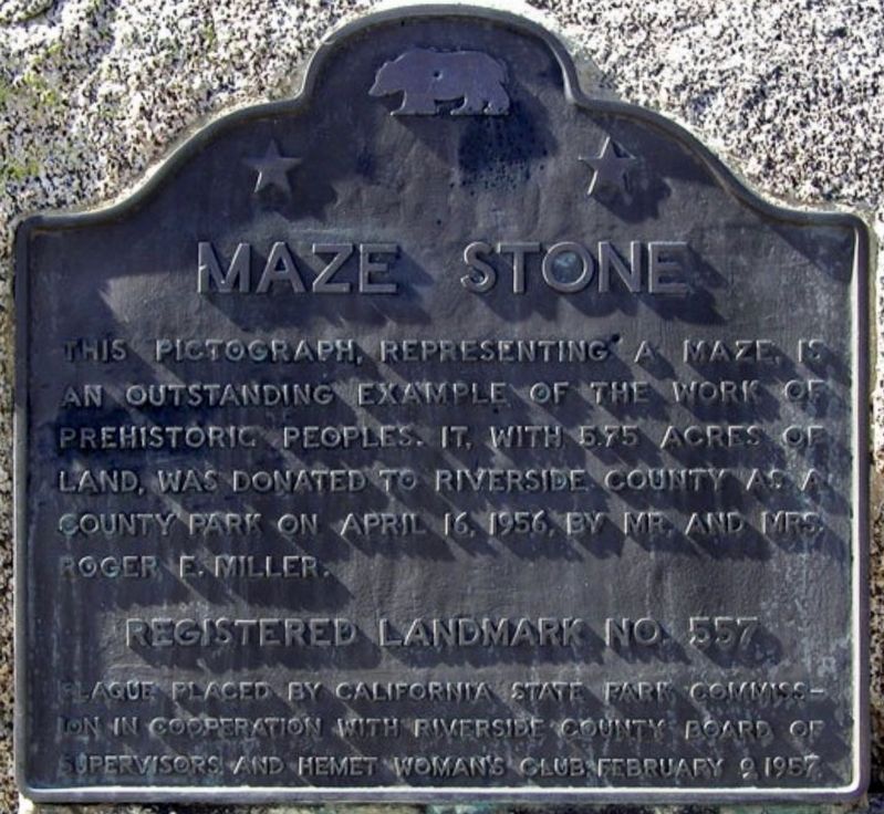
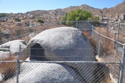
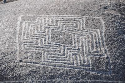
Hemet Maze Stone
Erected 1987 by California State Park Commission in cooperation with Riverside County Board of Supervisors and Hemet Woman's Club. (Marker Number 557.)
Topics and series. This historical marker is listed in these topic lists: Anthropology & Archaeology • Native Americans • Parks & Recreational Areas. In addition, it is included in the California Historical Landmarks series list. A significant historical month for this entry is April 1931.
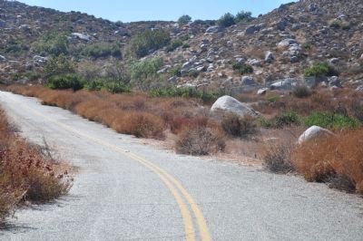
Location. 33° 46.87′ N, 117° 3.382′ W. Marker is near Hemet, California, in Riverside County. Marker can be reached from California Avenue, 2˝ miles north of Devonshire Avenue. Marker is located approximately 500 feet northwest of the end of California Avenue in Maze Stone Park. Touch for map. Marker is at or near this postal address: 23519 California Avenue, Hemet CA 92545, United States of America. Touch for directions.
Other nearby markers. At least 8 other markers are within 8 miles of this marker, measured as the crow flies. Transpolar Record Flight Site (approx. 2.6 miles away); Estudillo Mansion (approx. 5.1 miles away); Soviet Transpolar Landing Site (approx. 5.6 miles away); Motte Brothers (approx. 6.8 miles away); 1918 Romoland School (approx. 7 miles away); Pochea Indian Village Site (approx. 7˝ miles away); "Ramona" (approx. 7˝ miles away); Fred McCall Family (approx. 7˝ miles away). Touch for a list and map of all markers in Hemet.
Credits. This page was last revised on June 28, 2021. It was originally submitted on December 27, 2011, by Michael Kindig of Elk Grove, California. This page has been viewed 1,892 times since then and 45 times this year. Photos: 1. submitted on May 1, 2020, by Craig Baker of Sylmar, California. 2, 3, 4, 5, 6, 7. submitted on December 28, 2011, by Michael Kindig of Elk Grove, California. • Syd Whittle was the editor who published this page.
