Near Proctor in Marshall County, West Virginia — The American South (Appalachia)
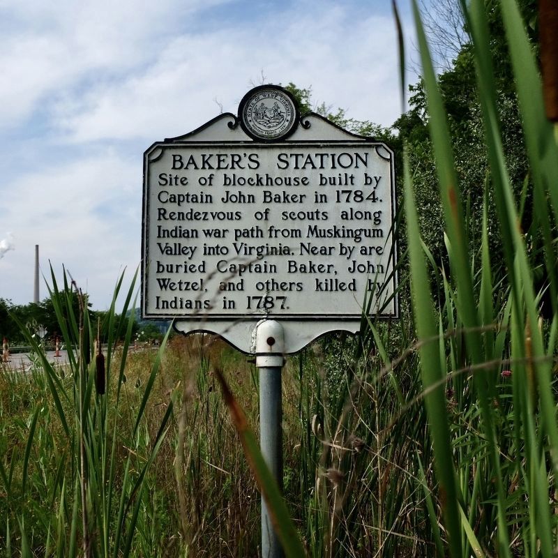
Baker's Station
Topics and series. This historical marker is listed in these topic lists: Forts and Castles • Native Americans • Wars, US Indian. In addition, it is included in the West Virginia Archives and History series list. A significant historical year for this entry is 1784.
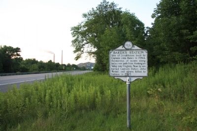
Location. 39° 48.178′ N, 80° 49.085′ W. Marker is near Proctor, West Virginia, in Marshall County. Marker is on West Virginia Route 2 south of Woodland and Graysville Road (County Route 27), on the left when traveling south. This historic marker is located along the side of the highway, opposite the Ohio River, a short distance south of where the highway crosses Fish Creek. Touch for map. Marker is in this post office area: Proctor WV 26055, United States of America. Touch for directions.
Other nearby markers. At least 8 other markers are within 6 miles of this marker, measured as the crow flies. Zachary Taylor (a few steps from this marker); Cedar Curve Cemetery / Funerals in the Early 1800s (approx. 3.6 miles away); Powhatan Point (approx. 4.1 miles away in Ohio); George Washington (approx. 4.1 miles away in Ohio); The Coal Industry at Powhatan Point / Powhatan Disaster, 1944 (approx. 4.3 miles away in Ohio); Frederick Kindelberger Stone House and Barn (approx. 5.1 miles away in Ohio); Mason-Dixon Line (approx. 5.7 miles away); Marshall County / Wetzel County (approx. 5.7 miles away).
Also see . . . Generation One of the John Baker Family. This is a link to information on the Baker Family that also provides additional information on Baker's Station. (Submitted on April 24, 2012, by Dale K. Benington of Toledo, Ohio.)
Credits. This page was last revised on July 18, 2022. It was originally submitted on April 24, 2012, by Dale K. Benington of Toledo, Ohio. This page has been viewed 2,387 times since then and 164 times this year. Photos: 1. submitted on July 16, 2022, by Dan Baker of Fort Wayne, Indiana. 2. submitted on April 24, 2012, by Dale K. Benington of Toledo, Ohio.

