Near Junction in Kimble County, Texas — The American South (West South Central)
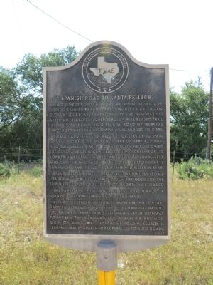
Spanish Road to Santa Fe, 1808
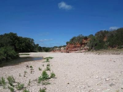
Amangual, veteran of 46 years of service to Spain, left San Antonio on March 30, 1808. On April 8, coming into this valley 5 miles to the south, he followed the East James (then called El Chimal Creek, for its bordering bluffs that resemble Indian headdresses), and camped that night by this red bluff. The party saw much game, including buffalo, and killed a bear.
Stampedes and losses of horses and mules (some loaded with crude sugar and other food) made the trip difficult. The route pointed north-northwest.
The party reached Santa Fe on June 19, and six months later returned to San Antonio.
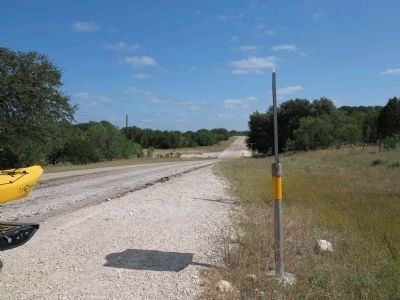
Although Zebulon Pike (discover of Pike's peak) had traveled with only eight men, Amangual had to field a large party. One goal of his expedition was to impress the wild and fierce plains Indians with the might and glory of Spain. The road measured in 1808 has traces visible today, parallel to auto roads.
Erected 1967 by State Historical Survey Committee. (Marker Number 5002.)
Topics. This historical marker is listed in these topic lists: Exploration • Hispanic Americans • Native Americans • Roads & Vehicles. A significant historical month for this entry is March 1747.
Location. 30° 26.543′ N, 99° 22.213′ W. Marker is near Junction, Texas, in Kimble County. Marker is on Farm to Market Road 385 north of County Road 432, on the right when traveling west. Touch for map. Marker is in this post office area: Harper TX 78631, United States of America. Touch for directions.
Other nearby markers. At least 4 other markers are within 13 miles of this marker, measured as the crow flies. St. James Lutheran Church (approx. 11.9 miles away); Harper Community Park (approx. 12.2 miles away); Site of the McDonald Massacre (approx. 12.3 miles away); Harper Independent School District (approx. 12.4 miles away).
Also see . . . A Guide to the Francisco Amangual Diary, 1808. Dolph Briscoe Center for American History,The University of Texas at Austin (Submitted on June 17, 2012, by Richard Denney of Austin, Texas.)
Additional commentary.
1. Little James River, Little Devil's River
The James River, referenced on the marker flows west to east, just northwest of here. The crossing shown on RR 385 is called the Little Devil's River
which runs into the James about 3+ miles northwest of the marker location.
— Submitted June 17, 2012, by Richard Denney of Austin, Texas.
Credits. This page was last revised on June 16, 2016. It was originally submitted on June 17, 2012, by Richard Denney of Austin, Texas. This page has been viewed 874 times since then and 42 times this year. Photos: 1, 2, 3. submitted on June 17, 2012, by Richard Denney of Austin, Texas. • Bernard Fisher was the editor who published this page.


