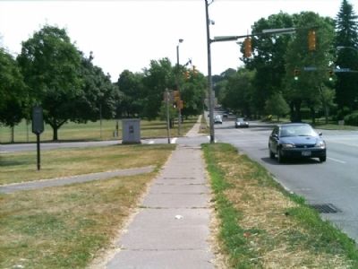
Cobbs Hill in Rochester in Monroe County, New York — The American Northeast (Mid-Atlantic)
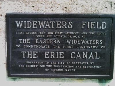
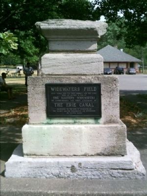
Widewaters Field
Erected 1926 by The Society for the Preservation and Restoration of Historic Names.
Topics and series. This historical marker is listed in these topic lists: Environment • Man-Made Features • Waterways & Vessels. In addition, it is included in the Erie Canal series list. A significant historical month for this entry is October 1908.
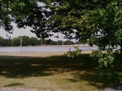
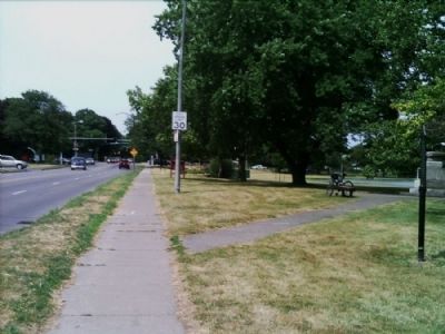
Location. 43° 8.503′ N, 77° 34.549′ W. Marker is in Rochester, New York, in Monroe County. It is in Cobbs Hill. Marker is on Culver Road, 0.1 miles north of Norris Drive. Touch for map. Marker is in this post office area: Rochester NY 14620, United States of America. Touch for directions.
Other nearby markers. At least 8 other markers are within 2 miles of this marker, measured as the crow flies. Cobbs Hill Park / Cobbs Hill (here, next to this marker); Portage Trail (approx. 0.3 miles away); George Eastman House (approx. ¾ mile away); The West Garden (approx. ¾ mile away); Boyhood Home Site (approx. 0.8 miles away); Lock 66 Neighborhood (approx. 0.9 miles away); Brighton Village (approx. one mile away); Seward Seminary (approx. 1.2 miles away). Touch for a list and map of all markers in Rochester.
Credits. This page was last revised on February 16, 2023. It was originally submitted on July 12, 2012, by Yugoboy of Rochester, New York. This page has been viewed 732 times since then and 90 times this year. Photos: 1, 2, 3, 4, 5. submitted on July 12, 2012, by Yugoboy of Rochester, New York. • Bill Pfingsten was the editor who published this page.
