
Las Cruces in Doña Ana County, New Mexico — The American Mountains (Southwest)
Pat Garrett Murder Site
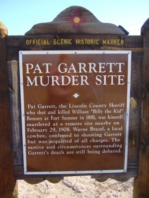
Photographed by Bill Kirchner, November 5, 2010
1. Pat Garrett Murder Site Marker
Pat Garrett, the Lincoln County Sheriff who shot and killed William “Billy the Kid” Bonney at Fort Sumner in 1881, was himself murdered at a remote site nearby on February 29, 1908. Wayne Brazel, a local cowboy, confessed to shooting Garrett but was acquitted of all charges. The motive and circumstances surrounding Garrett's death are still being debated.
Erected by New Mexico Historic Preservation Division.
Topics. This historical marker is listed in these topic lists: Law Enforcement • Notable Events. A significant historical month for this entry is February 1579.
Location. 32° 22.776′ N, 106° 43.789′ W. Marker is in Las Cruces, New Mexico, in Doña Ana County. It is at the intersection of U.S. 70 at milepost 153.6 and South Jornada Road, on the right when traveling east on U.S. 70. Touch for map. Marker is in this post office area: Las Cruces NM 88011, United States of America. Touch for directions.

Regionally, this marker is in the Rio Grande Valley. It is also in the American Southwest. Globally, it is in North America, the Western Hemisphere, the Western World, and the Anglosphere. Historically, it finds
this page online
Other nearby markers. At least 8 other markers are within 6 miles of this marker, measured as the crow flies: America's First Battle of World War II: The Philippines (approx. 3.3 miles away); Heroes of Bataan (approx. 3.3 miles away); Doña Ana (1604–1680) (approx. 4.7 miles away); The Branigan Building (approx. 5½ miles away); Bartlett Garcia (approx. 5.6 miles away); Doña Ana (approx. 5.6 miles away); The History of the New Mexico State Flag (approx. 5.6 miles away); Rio Grande Theatre (approx. 5.6 miles away). Touch for a list and map of all markers in Las Cruces.
Related markers. Click here for a list of markers that are related to this marker.
Additional commentary.
1. Location of the Murder Site
Pat Garrett was not killed where the markers are on the highway. Instead he was killed further into the desert, 1.2 miles SE (32.36619, -106.71720)
— Submitted May 3, 2020, by Heinz Landeck of El Paso, Texas.
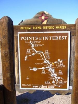
Photographed by Bill Kirchner, November 5, 2010
2. Rear of Pat Garrett Murder Site Marker
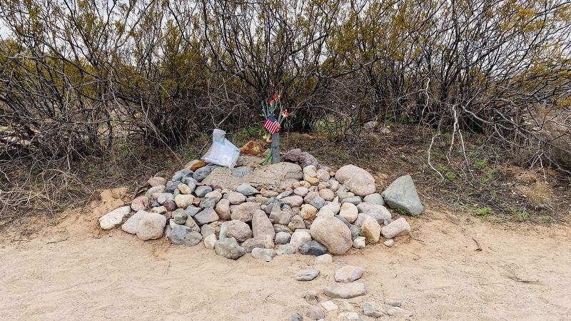
Photographed by Heinz Landeck, March 1, 2020
3. Pat Garrett Murder Site Marker
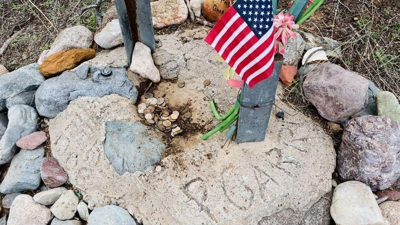
Photographed by Heinz Landeck, March 1, 2020
4. Pat Garrett Murder Site Marker
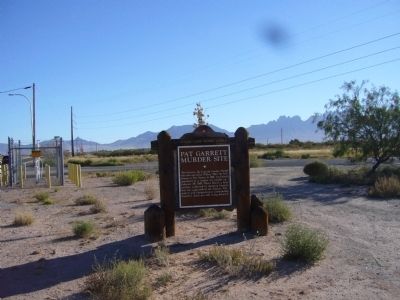
Photographed by Bill Kirchner, November 5, 2010
5. Pat Garrett Murder Site Marker
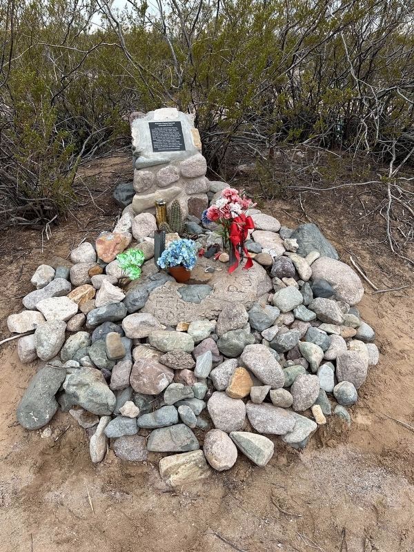
Photographed by Anne Holan, February 29, 2024
6. Pat Garrett Murder Site Marker 2/29/24
Friends of Pat Garrett added a site marker in 2021.
Credits. This page was last revised on February 14, 2026. It was originally submitted on November 18, 2010, by Bill Kirchner of Tucson, Arizona. This page has been viewed 11,301 times since then and 1,142 times this year. Last updated on July 30, 2025, by Bill Wingate of Albuquerque, New Mexico. Photos: 1, 2. submitted on November 18, 2010, by Bill Kirchner of Tucson, Arizona. 3, 4. submitted on May 3, 2020, by Heinz Landeck of El Paso, Texas. 5. submitted on November 18, 2010, by Bill Kirchner of Tucson, Arizona. 6. submitted on February 29, 2024, by Anne Holan of Las Cruces, New Mexico. • J. Makali Bruton was the editor who published this page.
