Hagerstown in Washington County, Maryland — The American Northeast (Mid-Atlantic)
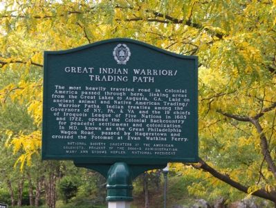
Great Indian Warrior/Trading Path
Erected by National Society Daughters of the American Colonists. Project of the 2000-3 Administration. Mary Ann Groome Hepler National President.
Topics and series. This historical marker is listed in these topic lists: Colonial Era • Native Americans • Roads & Vehicles. In addition, it is included in the Daughters of the American Colonists, and the Great Indian Warrior / Trading Path series lists. A significant historical year for this entry is 1685.
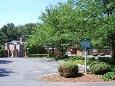
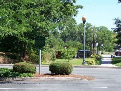
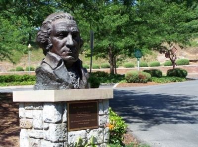
Location. 39° 38.26′ N, 77° 43.891′ W. Marker is in Hagerstown, Maryland, in Washington County. Marker can be reached from Highland Avenue near Key Street. Marker is in the parking lot of the Washington County Museum of Fine Arts which is located in the Hagerstown City Park. Enter park from a road off a circle where Walnut, Summit, Memorial and Key meet, and follow the signs to the museum. Touch for map. Marker is in this post office area: Hagerstown MD 21740, United States of America. Touch for directions.
Other nearby markers. At least 5 other markers are within walking distance of this marker. Band Shell (about 800 feet away, measured in a direct line); Hager House and Museum (approx. 0.2 miles away); Hager’s Fancy (approx. 0.2 miles away); Mt. Aetna Cannon (approx. 0.2 miles away); City Park (approx. 0.2 miles away). Touch for a list and map of all markers in Hagerstown.
Also see . . . The Scots-Irish From Ulster and The Great Philadelphia Wagon Road. Essay by Brenda E.McPherson Compton. (Submitted on December 29, 2006.)
Credits. This page was last revised on July 14, 2019. It was originally submitted on December 28, 2006, by Roger Dean Meyer of Yankton, South Dakota. This page has been viewed 3,514 times since then and 31 times this year. Photos: 1. submitted on December 28, 2006, by Roger Dean Meyer of Yankton, South Dakota. 2, 3, 4. submitted on July 24, 2011, by Mike Stroud of Bluffton, South Carolina. • J. J. Prats was the editor who published this page.


