Near Port Gibson in Claiborne County, Mississippi — The American South (East South Central)
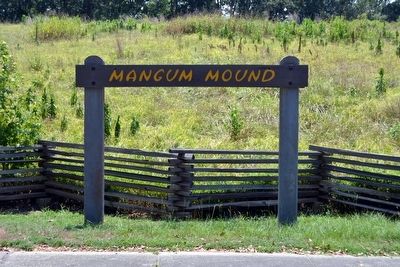
Mangum Mound
Inscription.
Excavation of this site tells us much about the people of the late prehistoric periods. The Plaquemine culture included the ancestors of the modern tribes of Mississippi and Louisiana. It was a society with elaborate agriculturally oriented religious ceremonies. From the burials on the mound we have learned that there was a high infant mortality and that upon the death of a chief, a brutal ritual was enacted in which his retainers were slain and buried with him.
Erected by National Park Service.
Topics and series. This historical marker is listed in these topic lists: Anthropology & Archaeology • Cemeteries & Burial Sites • Churches & Religion • Native Americans. In addition, it is included in the Natchez Trace series list.
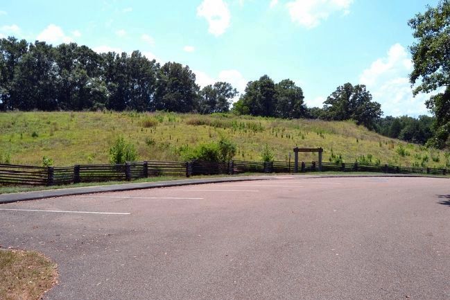
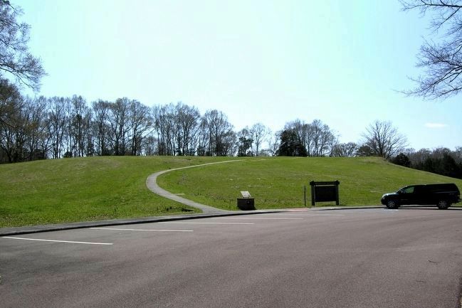
Location. Marker has been reported missing. It was located near 31° 59.517′ N, 90° 53.966′ W. Marker was near Port Gibson, Mississippi, in Claiborne County. Marker could be reached from Natchez Trace Parkway (at milepost 45.7), 4.2 miles north of Mississippi Highway 18. Marker is located at the end of the turnoff road for Mangum Mound from the Natchez Trace Parkway. Touch for map. Marker was in this post office area: Port Gibson MS 39150, United States of America. Touch for directions.
Other nearby markers. At least 8 other markers are within 6 miles of this location, measured as the crow flies. Grindstone Ford (approx. 0.8 miles away); Skirmish at Willow Springs (approx. 3.1 miles away); Fight for Hankinson's Ferry (approx. 3.4 miles away); Grant at Hankinson's Ferry (approx. 3.4 miles away); Sunken Trace (approx. 3.6 miles away); Site of the Hermitage (approx. 3.6 miles away); The Road to Vicksburg (approx. 5 miles away); St. Peter A.M.E. Church (approx. 5.2 miles away). Touch for a list and map of all markers in Port Gibson.
Also see . . .
1. Natchez Trace Parkway. Official National Park Service website. (Submitted on August 17, 2015.)
2. Mangum Mound Site - Wikipedia entry. (Submitted on August 17, 2015.)
Credits. This page was last revised on December 16, 2020. It was originally submitted on August 17, 2015, by Duane Hall of Abilene, Texas. This page has been viewed 445 times since then and 40 times this year. Photos: 1, 2, 3, 4. submitted on August 17, 2015, by Duane Hall of Abilene, Texas.


