On Lundy's Lane, on the right when traveling west.
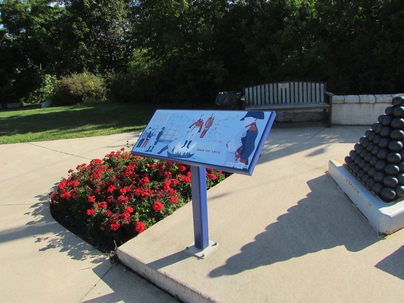
The Napoleonic Wars raged in Europe from 1803 to 1815 and had a global impact. Wishing to remain neutral and assert its independence, the United States continued to trade with both Britain and France. Nevertheless, diplomatic relations between the . . . — — Map (db m139911) HM
On Lundy's Lane, on the right when traveling west.
The Battle of Lundy’s Lane was a turning point in the War of 1812-14. While British Reinforcements began arriving in North America following the defeat of Napoleon in Europe, the Americans were pushing to gain control of the Niagara Peninsula. In . . . — — Map (db m139907) HM
Near Lundy's Lane, on the left when traveling west.
The Battle of Lundy’s Lane was a turning Point in the War of 1812-14. While British reinforcements began arriving in North America following the defeat of Napoleon in Europe, the Americans were pushing to gain control of the Niagara Peninsula with . . . — — Map (db m139921) HM
Near Lundy's Lane, on the right when traveling west.
In the early evening of July 25th, 1814, the British commander, Lt. General Drummond stood on this hilltop. Having just received intelligence that an American force was marching northward in this direction along the Portage Road, he realized that . . . — — Map (db m139912) HM
Near Lundy's Lane, on the left when traveling west.
Scott’s brigade approached from the south along the Portage Road. Shortly after 7pm on July 25, 1814, they emerged from the woods that covered the area south of this cemetery along present day Barker Street. Ahead, they saw the height of land at . . . — — Map (db m139926) HM
Near Lundy's Lane, on the left when traveling west.
“ In the centre the repeated and determined attacks of the enemy were met by the 89th Regiment, the detachments of the Royals and King’s and the Light Company of the 41st, with the most perfect steadiness and intrepid gallantry, and the . . . — — Map (db m139922) HM
Near Lundy's Lane, on the left when traveling west.
The Americans surged forward, attempting to take the British position. This and repeated attempts failed and they endured heavy losses. Later, under cover of darkness, the American 21st Infantry made its way up the southeast slope of the hill. In a . . . — — Map (db m139931) HM
Near Lundy's Lane, on the right when traveling west.
Following the capture of his artillery by the Americans, Lt. General Drummond and his troops retreated from their defensive position on the height of land in the cemetery to this area on the north side of the hill. Starting before 10 p.m. and . . . — — Map (db m139914) HM
After this fierce and bloody battle, General Brown ordered the American withdrawal southward. The American forces were not expelled from the position they won, but retired voluntarily. The British regained possession of the battlefield, but were in . . . — — Map (db m139920) HM
Near Lundy's Lane, on the right when traveling west.
Around midnight, with both sides completely exhausted, the Americans withdrew to their camp at Chippawa. They left the British guns behind, allowing Drummond to reclaim them the following morning. “At the Falls of the Niagara we met the enemy . . . — — Map (db m139936) HM
British and American forces suffered heavy losses at the Battle of Lundy’s Lane on July 25, 1814 and these were severe in proportion to the number of combatants. The casualty rates were nearly equal, as each side recorded around 800 casualties, . . . — — Map (db m139918) HM
As early as 1795, a small log church, used by a number of denominations, was on top of this hill. Destroyed during the Battle of Lundy’s Lane on July 25, 1814, it was not replaced until 1819 when a combination church and schoolhouse was constructed . . . — — Map (db m139955) HM
Near Lundy's Lane, on the left when traveling west.
Drummond Hill Presbyterian Church Present during the Battle of Lundy’s Lane, a former church once sat at the north east end of the cemetery. Built in 1887 by A.J. Lowell, the current church was then modernized in 1961. Captain Abraham Hull & . . . — — Map (db m139932) HM
Near Lundy's Lane, on the right when traveling west.
Following the close of the War of 1812, because both sides claimed victory here, the battlefield became a popular tourist destination. For many decades, veterans of the battle were available to conduct personal tours. In 1845, the first of five . . . — — Map (db m139943) HM
Near Lundy's Lane, on the right when traveling west.
Adam Fralick, a descendent of a United Empire Loyalist family, watched as the tourist industry grew around the War of 1812 battlefield at Lundy’s Lane. In 1836, he purchased this property and built the Battle Ground Hotel. Later, in 1850, Fralick . . . — — Map (db m139940) HM