When you think of Kansas, what pops into your mind? Prairie? Wheat? Dorothy? The Wetlands & Wildlife National Scenic Byway will forever reshape your image of this part of the "Sunflower State." This 77-mile Byway connects two of the world's . . . — — Map (db m95848) HM
When settlers came to the prairie in the 1870s, they learned from the land that grasses grew better than any other crop here. In 1874, Russian Mennonite immigrants brought seeds of Turkey Red winter wheat from the Russian steppes. Well . . . — — Map (db m64254) HM
Imagine it's 1880, and you've just driven your family hundreds of wearying miles by wagon here to central Kansas. You’re anxious to build a house, but you're surrounded by unbroken prairie — not a stick of construction-grade wood in sight. With . . . — — Map (db m302598) HM
The Arkansas River is one of America's iconic rivers, coursing 1,469 miles before merging with the Mississippi River. Here in central Kansas, its steady east-southeast flow is interrupted by a wide northward sweep called the “great bend.” The city . . . — — Map (db m302599) HM
When you think of Kansas, what pops into your mind? Prairie? Wheat? Dorothy? The Wetlands & Wildlife National Scenic Byway will forever reshape your image of this part of the "Sunflower State." This 77-mile Byway connects two of the world's . . . — — Map (db m95731) HM
As the leader of The Church of Jesus Christ, William Bickerton felt called to be a missionary focused on bringing his faith to Native Americans, whom he called Lamanites. In 1875, Bickerton, inspired by God, came to the area with thirty-five . . . — — Map (db m302300) HM
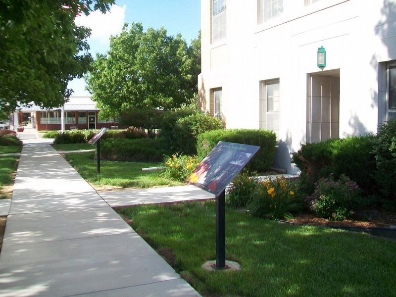
The park in the square, owned by Stafford County and maintained by the City of St. John, was established in 1879 and has become the center of activity in this small, central Kansas farming community. In 1882, the City Council gave a warranty deed . . . — — Map (db m302405) HM
Thin black lines indicate changes in relevance. Between each pair of lines entries are ordered geographically but all have the same relevance.
* Inflectional forms of words are their plurals, singulars, and possessives as well as gramatical tenses and similar variations.