6 entries match your criteria.
Related Historical Markers
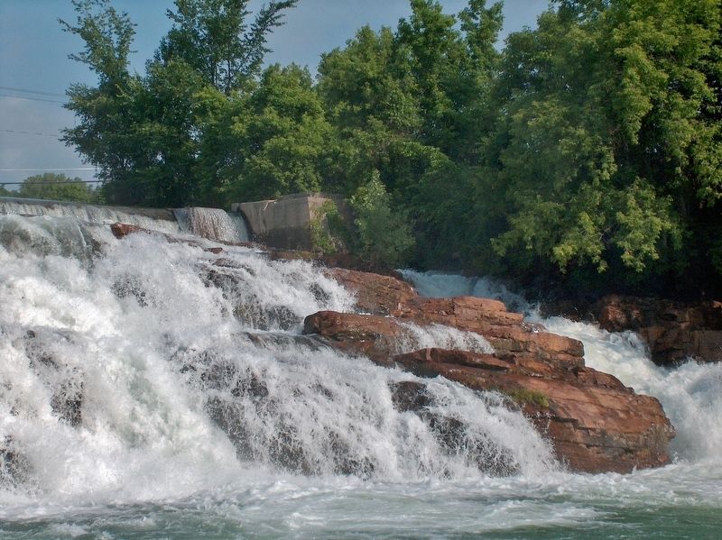
La Chute Riverwalk, Ticonderoga Bicentennial Park
By Cosmos Mariner, June 28, 2005
La Chute River Falls (view from near marker)
SHOWN IN SOURCE-SPECIFIED ORDER
| Near Tower Avenue, 0.1 miles north of Montcalm Street, on the right when traveling north. |
| | . . . — — Map (db m125097) HM |
| On Tower Avenue at Mccormick Street, on the right when traveling north on Tower Avenue. |
| | The grindstones lining this street were used by the early mills operating in the 1800’s.
The mills were located in the entire area of the falls on the La Chute River.
They were salvaged by Vincent Strebe and erected in 1978.
. . . — — Map (db m125100) HM |
| Near Montcalm Street (State Highway 74) 0.2 miles west of Mountain Road (State Highway 22), on the right when traveling west. |
| | The La Chute River supplied more than power for the mills. It also connected to Lake Champlain and the wider world. People and goods traveled much more easily by water than by land, so the corridor formed by Lake Champlain, Lake George and the . . . — — Map (db m125180) HM |
| On Montcalm Street (New York State Route 74) at Cannonball Path, on the right when traveling west on Montcalm Street. |
| | The waters of Lake George falling over Bicentennial Falls today form a pretty backdrop for Bicentennial Park. For more than two hundred years this waterfall also produced power. Beginning with a French sawmill in 1756, soldiers, later followed by . . . — — Map (db m125183) HM |
| Near Montcalm Street (Route 74) at Cannonball Path, on the right when traveling west. |
| | The waterfall in front of you spans only half of its original width. The left half disappeared long ago into Ticonderoga Pulp and Paper Company (later, International Paper Company) penstocks. The remainder of the waterfall fed both the American . . . — — Map (db m125185) HM |
| On Tower Avenue at Burgoyne Road / Rogers Street, on the right when traveling north on Tower Avenue. |
| | In 1756 the French erected a mill on the river opposite this spot for sawing and preparing timbers used in Fort Carillon, renamed Fort Ticonderoga when captured by General Amherst in 1759.
General Abercromby used the saw mill as his headquarters . . . — — Map (db m125190) HM |
Jun. 17, 2024